Browse / United States / Missouri / Blue Springs
Blue Springs
Missouricity

Blue Springs
Total population
59,965
Median home value
$263,100
Bachelor's+
Median income
$88,920
Founded
1880
Demographic figures from US Census Bureau · ACS 5-year estimates. Overview below cites Wikipedia and may reference a different year.
- Frost Advisory · MinorFrost Advisory issued October 16 at 9:40AM CDT until October 17 at 9:00AM CDT by NWS Kansas City/Pleasant Hill MO
Source: NOAA National Weather Service.
City facts
Facts from Wikidata (CC0).
Overview
Blue Springs is a city in Jackson County, Missouri, United States. Blue Springs is a large suburb located east of Kansas City. It is the eighth-largest city in the Kansas City metropolitan area and the tenth-largest city in Missouri. As of the 2020 census, the population was 58,604.
Read more on WikipediaHistory & geography
History
As early as 1825, a spring of water flowing from the side of a hill and falling into a tributary of Little Blue River was used by campers, traders, and many wagons starting on the Santa Fe expeditions. They met here before crossing the plains. The spring was named Blue Springs by freighters freighting provisions to the Harmony Mission, on the Marais de Cygnes River in Bates County Missouri, from Lexington, Missouri in Lafayette County. The presence of water and a need for supplies led to the construction of a grist mill and a permanent settlement of Blue Springs near the spring. The original town site of Blue Springs and the spring for which Blue Springs was named was located near what became Burrus Old Mill Park. An early settler, Franklin Smith, arrived in Blue Springs from Virginia in 1838, and became a leading figure in the community's development. He established the first post office in 1845, naming it after the well-known springs. The settlement continued to grow near the springs until March 1878, when the Chicago and Alton Railroad announced plans to build a station about one mile east of the original settlement. To take advantage of the commerce the railroad would bring, the town moved its center to the site of the new station and continued its development as a rural trading center. The Chicago & Alton Hotel built in 1878 is the oldest business in the city. The Jackson County Court granted the incorporation of Blue Springs as a town on September 7, 1880, making it the fourth settlement in the county to be incorporated. On January 12, 1904, Blue Springs was incorporated as a 4th class city. Blue Springs adopted a Constitutional Charter and became Home Rule Charter City in April 1994. The former Bank of Blue Springs was established in 1883. It had a capital…
Geography
According to the United States Census Bureau, the city has a total area of , of which is land and is water. Blue Springs experiences a colder variation of a four-season humid subtropical climate (Köppen climate classification Cfa) with mild days and cold nights during the winter, and hot days and muggy nights during the summer.
Excerpted from the corresponding Wikipedia article (CC BY-SA).
Demographics & economy
Race & ethnicity
Source: US Census Bureau — American Community Survey, 5-year estimates.
Geography
Coordinates & boundaries from the US Census TIGER/Line shapefiles.
Climate
Current forecast
Forecast for Blue Springs, MO from NOAA NWS API.
Air quality
Industrial & pollution facilities
Natural hazard risk
Health (adults)
Walkability
Amenities nearby
Wildlife & biodiversity
Most-observed species
- Northern CardinalCardinalis cardinalis (Linnaeus, 1758) · Aves12,145
- Blue JayCyanocitta cristata (Linnaeus, 1758) · Aves10,094
- Black-capped ChickadeePoecile atricapillus (Linnaeus, 1766) · Aves9,020
- American CrowCorvus brachyrhynchos C.L.Brehm, 1822 · Aves8,217
- Red-bellied WoodpeckerMelanerpes carolinus (Linnaeus, 1758) · Aves7,993
- Tufted TitmouseBaeolophus bicolor (Linnaeus, 1766) · Aves7,791
- American RobinTurdus migratorius Linnaeus, 1766 · Aves7,309
- Downy WoodpeckerDryobates pubescens (Linnaeus, 1766) · Aves6,851
Citizen-science & research observations from the Global Biodiversity Information Facility (GBIF).
Schools
Earthquake history
Most recent
- M 2.53 — 2025-07-153 km W of Hale, Missouri
- M 3.5 — 2024-03-152 km NE of Ferrelview, Missouri
- M 2.6 — 2018-07-201 km WNW of Saint Joseph, Missouri
- M 2.6 — 2015-04-043 km ESE of Clinton, Missouri
- M 3.3 — 2005-05-18Missouri
Events from the USGS Earthquake Catalog (global) (FDSN Event Web Service).
Photos
Sights & places nearby
Notable people from here


People born within ~10 km, from Wikidata (CC0). Click any name for their Wikipedia article.
Nearby places in Missouri
Geography & sun
Elevation, sunrise/sunset and daylight from Open-Meteo. Solar climatology from NASA POWER.
Nearby airports
Public attention
Pageview totals from the Wikimedia Pageviews API.
Books about Blue Springs
Search results from Open Library.
Recent natural events nearby
- Wildfire BISON, Osage, OklahomaWildfires · 2026-08-21 · 186 mi
- Wildfire B.B, Osage, OklahomaWildfires · 2026-08-06 · 188 mi
Wildfires, storms and other events from NASA EONET (last 12 months, within 250 mi).
Ground air-quality sensors
Recently spotted species
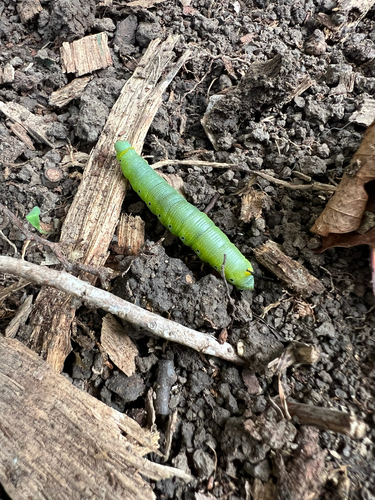
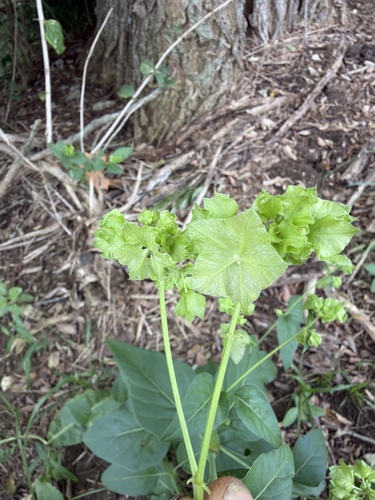
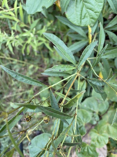
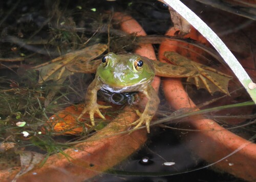
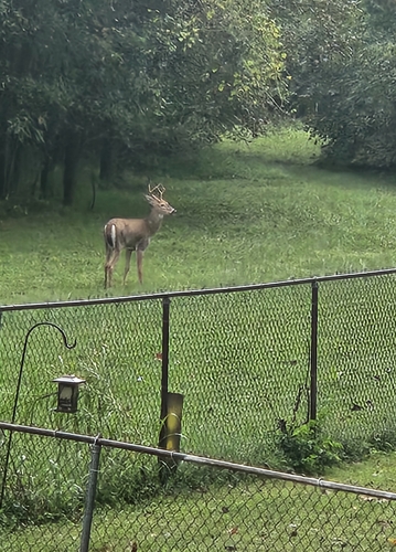
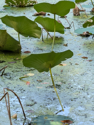
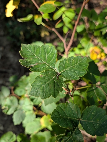
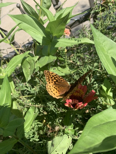
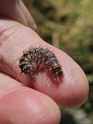
Research-grade observations from iNaturalist (within ~15 mi).
Nearest stream gauge
Live readings from USGS NWIS · measured 2026-10-16 15:00 UTC.
Events
Gallery
Sources
- • Wikipedia
- • US Census Bureau (ACS 5-year estimates)
- • NOAA National Weather Service
- • Wikidata
- • USGS Earthquake Catalog (global feed)
- • USGS NWIS (water data)
- • GBIF (Global Biodiversity Information Facility)
- • iNaturalist
- • Open-Meteo / sunrise-sunset.org
- • Wikipedia Pageviews API
- • Open Library
- • NASA EONET