Browse / United States / Missouri / Chesterfield
Chesterfield
Missouricity

Chesterfield
Total population
49,574
Median home value
$472,500
Bachelor's+
Median income
$133,037
Founded
1837
Demographic figures from US Census Bureau · ACS 5-year estimates. Overview below cites Wikipedia and may reference a different year.
- Heat Advisory · ModerateHeat Advisory issued September 16 at 11:29AM CDT until September 19 at 8:00PM CDT by NWS St Louis MO
Source: NOAA National Weather Service.
City facts
Facts from Wikidata (CC0).
Overview
Chesterfield is a city in St. Louis County, Missouri, United States. It is a western suburb of St. Louis. As of the 2020 census, the population was 49,999, making it the state's 14th most populous city. The broader valley of Chesterfield was originally referred to as "Gumbo Flats", derived from its soil, which though very rich and silty, resembled gumbo when wet.
Read more on WikipediaHistory & geography
History
Present-day Chesterfield is known to have been a site of Native American inhabitation for thousands of years. A site in western Chesterfield containing artwork and carvings has been dated as 4,000 years old. A Mississippian site, dated to around the year 1000, containing the remains of what have been identified as a market and ceremonial center, is also located in modern Chesterfield., including: * Bellefontaine (French for "beautiful spring"), or as the locals called it, "Hilltown", dates to about 1837 with the arrival of August Hill. The first post office was established as Bellemonte ("beautiful mountain") in 1851. Eighteen years later, in 1869, the town and post office name were both changed to Bellefontaine. Rinkel's Market was a familiar landmark for years, at the intersection of present-day Olive Boulevard and Chesterfield Parkway. * The town of Lake started out as "Hog Hollow," in about 1850. The post office was established as Hog Hollow in 1871, but a year later the town's name was changed to what some thought was the more suitable name of Lake. Zierenberg's General Merchandise and Saloon (built around 1880) was a well-known landmark at the 18-mile marker on Olive Street Road. The original structure was destroyed by fire in 1918. It was replaced by the existing structure on the same site (Olive Boulevard and Hog Hollow Road). * Gumbo is located in the valley at the present intersection of Chesterfield Airport Road and Long Road. A notable landmark (until it was razed in 1998) was the old Twenty Five Mile House - so named because of its distance from downtown St. Louis. Gumbo's name derived from its soil, which though very rich and silty, when wet became gumbo mud. A substance very similar to gravel was made from Gumbo mud and used for streets and sidewalks in…
Geography
Chesterfield is located approximately west of St. Louis. According to the United States Census Bureau, the city has a total area of , of which is land and is water. Portions of Chesterfield are located in the floodplain of the Missouri River, now known as Chesterfield Valley, formerly as Gumbo Flats. Here several small creeks empty into the Missouri River (Caulks Creek and Bonhomme Creek). This area was submerged during the Great Flood of 1993; higher levees built since then have led to extensive commercial development in the valley. Chesterfield Valley is the location of Spirit of St. Louis Airport, used for corporate aviation, as well as the longest outdoor strip mall in America.
Excerpted from the corresponding Wikipedia article (CC BY-SA).
Demographics & economy
Race & ethnicity
Source: US Census Bureau — American Community Survey, 5-year estimates.
Geography
Coordinates & boundaries from the US Census TIGER/Line shapefiles.
Climate
Current forecast
Forecast for Chesterfield, MO from NOAA NWS API.
Air quality
Industrial & pollution facilities
Natural hazard risk
Health (adults)
Age-adjusted prevalence estimates from CDC PLACES (latest release).
Walkability
Amenities nearby
Wildlife & biodiversity
Most-observed species
- Northern CardinalCardinalis cardinalis (Linnaeus, 1758) · Aves43,502
- American RobinTurdus migratorius Linnaeus, 1766 · Aves31,051
- Blue JayCyanocitta cristata (Linnaeus, 1758) · Aves29,193
- Mourning DoveZenaida macroura (Linnaeus, 1758) · Aves29,030
- Downy WoodpeckerDryobates pubescens (Linnaeus, 1766) · Aves28,815
- Tufted TitmouseBaeolophus bicolor (Linnaeus, 1766) · Aves26,745
- House FinchHaemorhous mexicanus (P.L.Statius Müller, 1776) · Aves26,433
- Red-bellied WoodpeckerMelanerpes carolinus (Linnaeus, 1758) · Aves25,878
Citizen-science & research observations from the Global Biodiversity Information Facility (GBIF).
Schools
Largest nearby schools
- MARQUETTE SR. HIGHHigh · CHESTERFIELD · 2,155 students · 15.8:1 ratio
- EXTERNAL SITESOther · TOWN AND COUNTRY · 1,999 students · 1.2:1 ratio
- PATTONVILLE SR. HIGHHigh · MARYLAND HEIGHTS · 1,893 students · 15:1 ratio
- KIRKWOOD SR. HIGHHigh · KIRKWOOD · 1,775 students · 15:1 ratio
- LAFAYETTE SR. HIGHHigh · WILDWOOD · 1,682 students · 15.7:1 ratio
- SOUTH HIGHHigh · MANCHESTER · 1,598 students · 15.1:1 ratio
- WEST HIGHHigh · BALLWIN · 1,436 students · 16.3:1 ratio
- LADUE HORTON WATKINS HIGHHigh · ST LOUIS · 1,313 students · 14:1 ratio
Public K–12 schools within ~10 mi from Urban Institute Education Data Portal (NCES Common Core of Data, 2022).
Earthquake history
Most recent
- M 2.57 — 2024-09-191 km S of Old Monroe, Missouri
- M 2.81 — 2024-03-281 km NNE of Germantown, Illinois
- M 2.84 — 2022-04-291 km SSW of Peerless Park, Missouri
- M 2.57 — 2019-09-116 km NNE of Bonne Terre, Missouri
- M 2.58 — 2017-06-068 km ENE of Bonne Terre, Missouri
- M 2.65 — 2015-09-055 km SE of High Ridge, Missouri
Events from the USGS Earthquake Catalog (global) (FDSN Event Web Service).
Photos
Sights & places nearby
Notable people from here


People born within ~10 km, from Wikidata (CC0). Click any name for their Wikipedia article.
Nearby places in Missouri
Geography & sun
Elevation, sunrise/sunset and daylight from Open-Meteo. Solar climatology from NASA POWER.
Nearby airports
Public attention
Pageview totals from the Wikimedia Pageviews API.
Books about Chesterfield

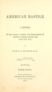
Search results from Open Library.
Recent natural events nearby
Ground air-quality sensors
Recently spotted species
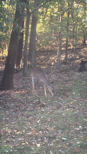
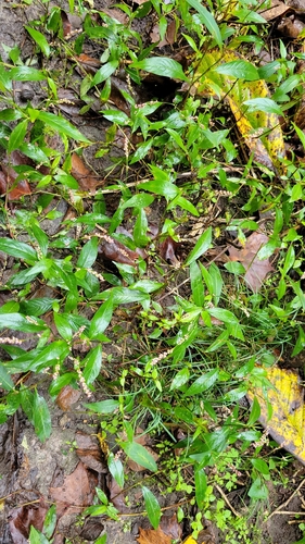
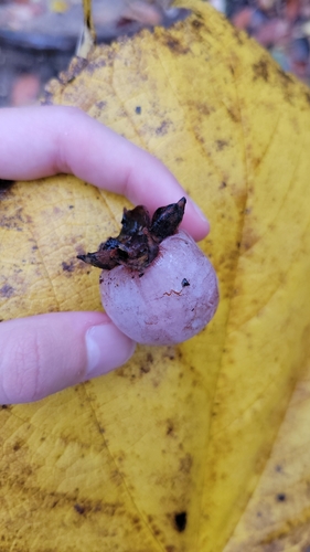
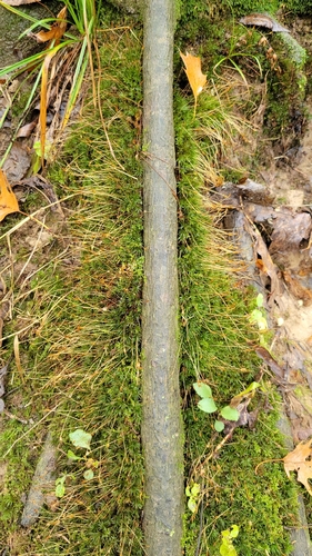
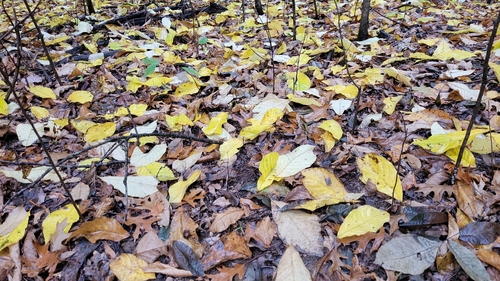
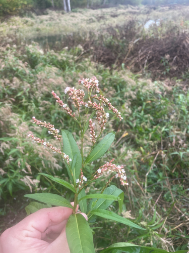
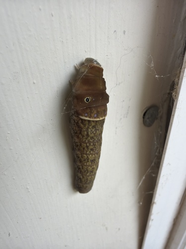
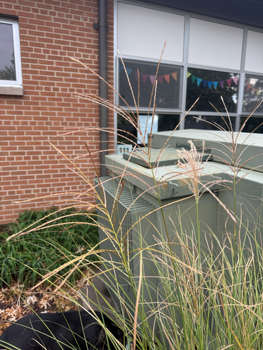
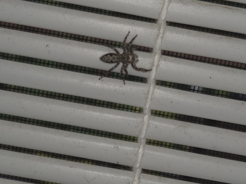
Research-grade observations from iNaturalist (within ~15 mi).
Nearest stream gauge
Events
Gallery
Sources
- • Wikipedia
- • US Census Bureau (ACS 5-year estimates)
- • NOAA National Weather Service
- • Wikidata
- • USGS Earthquake Catalog (global feed)
- • NCES via Urban Institute Education Data Portal
- • GBIF (Global Biodiversity Information Facility)
- • iNaturalist
- • CDC PLACES
- • Open-Meteo / sunrise-sunset.org
- • Wikipedia Pageviews API
- • Open Library