Browse / United States / Missouri / Columbia
Columbia
Missouricity

Columbia
Total population
130,913
Median home value
$311,700
Bachelor's+
Median income
$80,543
Founded
1821
Demographic figures from US Census Bureau · ACS 5-year estimates. Overview below cites Wikipedia and may reference a different year.
- Heat Advisory · ModerateHeat Advisory issued September 16 at 11:29AM CDT until September 18 at 8:00PM CDT by NWS St Louis MO
Source: NOAA National Weather Service.
City facts
Sister cities
Facts from Wikidata (CC0).
Overview
Columbia is a city in Boone County, Missouri, United States, and its county seat. It was founded in 1821 and had a population of 126,254 as recorded in the 2020 United States census, making it the fourth-most-populous city in Missouri. Columbia is a Midwestern college town, home to the University of Missouri, a major research institution also known as MU or Mizzou. In addition to the university and surrounding downtown Columbia are Stephens College and Columbia College, giving the city its educational focus and nearly 40,000 college students. It is the principal city of the Columbia metropolitan area, population 215,811, and the central city of the nine-county Columbia–Jefferson City–Moberly combined statistical area, with 415,747 residents. The city is the fastest-growing municipality in Missouri, with a growth of almost 40% since 2000, and a population estimated at 130,900 in 2024. Columbia is among the most-educated cities in the United States, with about half of citizens being college graduates and about a quarter holding advanced degrees.
Read more on WikipediaHistory & geography
History
Columbia's origins begin with the settlement of American pioneers from Kentucky and Virginia in an early 1800s region known as the Boonslick. Before 1815, settlement in the region was confined to small log forts due to the threat of Native American attack during the War of 1812. When the war ended, settlers came on foot, horseback, and wagon, often moving entire households along the Boone's Lick Road and often bringing enslaved African Americans. By 1818, the increased population clearly would necessitate a new county be created from territorial Howard County. The Moniteau Creek on the west and Cedar Creek on the east were obvious natural boundaries. Believing it was only a matter of time before a county seat was chosen, the Smithton Land Company was formed to purchase over to establish the village of Smithton (near the present-day intersection of Walnut and Garth). In 1819, Smithton was a small cluster of log cabins in an ancient forest of oak and hickory; chief among them was the cabin of Richard Gentry, a trustee of the Smithton Company, who would become first mayor of Columbia. In 1820, Boone County was formed and named after the recently deceased explorer Daniel Boone. The Missouri Legislature appointed John Gray, Jefferson Fulcher, Absalom Hicks, Lawrence Bass, and David Jackson as commissioners to select and establish a permanent county seat. Smithton never had more than 20 people, and well digging was soon found to be difficult because of the bedrock. Springs were discovered across the Flat Branch Creek, so in the spring of 1821, Columbia was laid out, and the inhabitants of Smithton moved their cabins to the new town. The first house in Columbia was built by Thomas Duly in 1820 at what became Fifth and Broadway. Columbia's permanence was ensured when it was…
Geography
Columbia, in northern mid-Missouri, is away from both St. Louis and Kansas City, and north of the state capital of Jefferson City. The city is near the Missouri River, between the Ozark Plateau and the Northern Plains. According to the United States Census Bureau, the city has a total area of , of which is covered by water. The city generally slopes from the highest point in the northeast to the lowest point in the southwest towards the Missouri River. Prominent tributaries of the river are Perche Creek, Hinkson Creek, and Flat Branch Creek. Along these and other creeks in the area can be found large valleys, cliffs, and cave systems such as that in Rock Bridge State Park just south of the city. These creeks are largely responsible for numerous stream valleys, giving Columbia hilly terrain similar to the Ozarks while also having prairie flatland typical of northern Missouri. Columbia also operates several greenbelts with trails and parks throughout town. Large mammals found in the city include urbanized coyotes, red foxes, and numerous whitetail deer. Eastern gray squirrels and other rodents are abundant, as are cottontail rabbits and nocturnal opossums and raccoons. Large bird species are abundant in parks and include Canada geese, mallard ducks, and shorebirds, including great egrets and great blue herons. Turkeys are also common in wooded areas and can occasionally be seen on the MKT recreation trail. Populations of bald eagles are found by the Missouri River. The city is on the Mississippi Flyway, used by migrating birds, and has a large variety of small bird species, common to the Eastern U.S. The Eurasian tree sparrow, an introduced species, is limited in North America to the counties surrounding St. Louis. Columbia has large areas of forested and open…
Excerpted from the corresponding Wikipedia article (CC BY-SA).
Demographics & economy
Race & ethnicity
Source: US Census Bureau — American Community Survey, 5-year estimates.
Geography
Coordinates & boundaries from the US Census TIGER/Line shapefiles.
Climate
10-year averages from ERA5 reanalysis (Open-Meteo).
Current forecast
Forecast for Columbia, MO from NOAA NWS API.
Air quality
Industrial & pollution facilities
Natural hazard risk
Health (adults)
Age-adjusted prevalence estimates from CDC PLACES (latest release).
Walkability
Amenities nearby
Wildlife & biodiversity
Most-observed species
- Northern CardinalCardinalis cardinalis (Linnaeus, 1758) · Aves26,901
- Black-capped ChickadeePoecile atricapillus (Linnaeus, 1766) · Aves20,492
- Red-bellied WoodpeckerMelanerpes carolinus (Linnaeus, 1758) · Aves19,789
- Tufted TitmouseBaeolophus bicolor (Linnaeus, 1766) · Aves19,205
- Downy WoodpeckerDryobates pubescens (Linnaeus, 1766) · Aves18,885
- Blue JayCyanocitta cristata (Linnaeus, 1758) · Aves18,319
- Mourning DoveZenaida macroura (Linnaeus, 1758) · Aves17,264
- American GoldfinchSpinus tristis (Linnaeus, 1758) · Aves14,724
Citizen-science & research observations from the Global Biodiversity Information Facility (GBIF).
Schools
Largest nearby schools
- DAVID H. HICKMAN HIGHHigh · COLUMBIA · 2,044 students · 17.2:1 ratio
- ROCK BRIDGE SR. HIGHHigh · COLUMBIA · 2,032 students · 18.8:1 ratio
- MURIEL W. BATTLE HIGH SCHOOLHigh · COLUMBIA · 1,581 students · 15.8:1 ratio
- ANN HAWKINS GENTRY MIDDLEMiddle · COLUMBIA · 719 students · 14.1:1 ratio
- BEULAH RALPH ELEMENTARYElementary · Columbia · 678 students · 15.1:1 ratio
- MARY PAXTON KEELEY ELEM.Elementary · COLUMBIA · 634 students · 15.8:1 ratio
- JEFFERSON MIDDLE SCHOOLMiddle · COLUMBIA · 625 students · 12.5:1 ratio
- MILL CREEK ELEM.Elementary · COLUMBIA · 593 students · 18.5:1 ratio
Public K–12 schools within ~10 mi from Urban Institute Education Data Portal (NCES Common Core of Data, 2022).
Earthquake history
Most recent
- M 2.59 — 2022-12-054 km SW of Madison, Missouri
- M 3.3 — 2005-07-31Missouri
- M 2.9 — 2004-02-086 km SSW of Stoutsville, Missouri
Events from the USGS Earthquake Catalog (global) (FDSN Event Web Service).
Photos
Sights & places nearby
Notable people from here


People born within ~10 km, from Wikidata (CC0). Click any name for their Wikipedia article.
Nearby places in Missouri
- Pierpont5.9 mi away
- Rocheport12.9 mi away
- Hallsville13 mi away · pop. 1,927
- Jamestown14.9 mi away · pop. 280
- Harrisburg15.1 mi away · pop. 312
- Prairie Home16.9 mi away
- New Bloomfield20.3 mi away · pop. 876
- Boonville22.6 mi away · pop. 7,689
- Auxvasse23.6 mi away
- Higbee26.8 mi away · pop. 507
- Clarksburg26.9 mi away
- Renick27.7 mi away
Geography & sun
Elevation, sunrise/sunset and daylight from Open-Meteo. Solar climatology from NASA POWER.
Nearby airports
Public attention
Pageview totals from the Wikimedia Pageviews API.
Books about Columbia


Search results from Open Library.
Recent natural events nearby
- RX Blanchard 1 Prescribed Fire, Stone, ArkansasWildfires · 2026-04-24 · 206 mi
- LO GAP Wildfire, Van Buren, ArkansasWildfires · 2026-04-17 · 233 mi
Wildfires, storms and other events from NASA EONET (last 12 months, within 250 mi).
Ground air-quality sensors
Recently spotted species
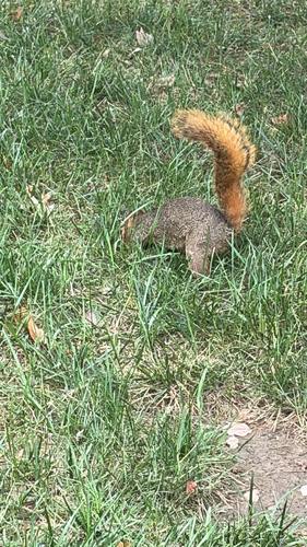
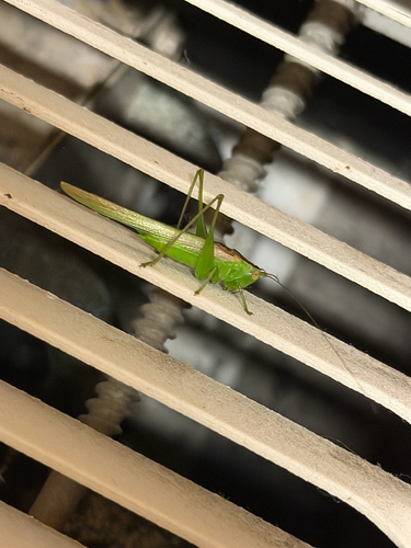
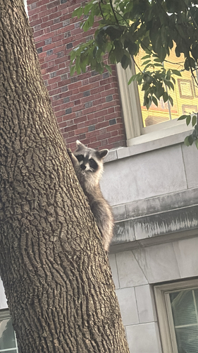
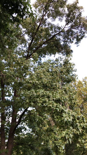
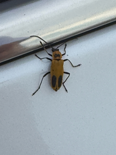
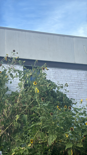
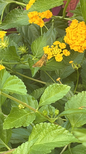
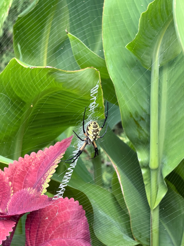
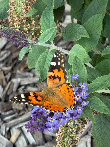
Research-grade observations from iNaturalist (within ~15 mi).
Nearest stream gauge
Live readings from USGS NWIS · measured 2026-09-17 01:00 UTC.
Events
Gallery
Geotagged photos within ~6 miles of Columbia, from Wikimedia Commons contributors.
 0.1 mi
 0.1 mi
 0.1 mi
 0.1 mi
 0.1 mi
 0.1 mi
 0.1 mi
 0.2 mi
_-_exterior,_front.jpg) 0.2 mi
0.2 mi 0.2 mi
 0.2 mi
 0.2 mi
 0.2 mi
 0.2 mi
 0.2 mi
 0.2 mi
 0.2 mi
 0.2 mi
 0.2 mi
 0.2 mi
 0.2 mi
 0.2 mi
 0.2 mi
 0.2 mi
Photos via Wikimedia Commons — see each image page for license & attribution.
Sources
- • Wikipedia
- • US Census Bureau (ACS 5-year estimates)
- • Open-Meteo (ERA5 reanalysis)
- • NOAA National Weather Service
- • Wikimedia Commons
- • Wikidata
- • USGS Earthquake Catalog (global feed)
- • USGS NWIS (water data)
- • NCES via Urban Institute Education Data Portal
- • GBIF (Global Biodiversity Information Facility)
- • iNaturalist
- • CDC PLACES
- • Open-Elevation
- • Open-Meteo / sunrise-sunset.org
- • Wikipedia Pageviews API
- • Open Library
- • NASA EONET