Browse / United States / Missouri / De Soto
De Soto
Missouricity

De Soto
Total population
6,470
Median home value
$160,700
Bachelor's+
Median income
$52,500
Founded
1869
Air quality index
Demographic figures from US Census Bureau · ACS 5-year estimates. Overview below cites Wikipedia and may reference a different year.
City facts
Facts from Wikidata (CC0).
Overview
De Soto is a city in Jefferson County, Missouri, United States. The population was 6,449 at the 2020 census and the city is part of the St. Louis metropolitan area. Isaac Van Metre was first to settle in De Soto in the year of 1803. The town was organized in 1857 and is named for the explorer Hernando De Soto, who claimed the Louisiana Territory for Spain. De Soto was the city closest to the mean center of U.S. population in 1980. The city celebrated its Bicentennial in 2003. The city made national news on and after May 6, 2003, when straight-line winds and a tornado struck the junior high gymnasium.
Read more on WikipediaHistory & geography
History
De Soto was platted in 1857 and named after Hernando de Soto (c. 1496/1497–1542), Spanish conquistador. A post office has been in operation at De Soto since 1858. The city is known as "Fountain City" because of its numerous artesian wells. Water from these wells and springs were bottled and shipped by tank car to the 1904 World Fair in St. Louis. The Central School Campus and Louis J. and Harriet Rozier House are listed on the National Register of Historic Places. In 1953 and 1959 De Soto was voted an All-America City by the National Civic League.
Geography
The community is located along Joachim Creek in southwest Jefferson County. Missouri Route 21 passes just west to the west and Missouri Route 110 connects to US Route 67 approximately three miles east of the town. According to the United States Census Bureau, the city has a total area of , all land.
Excerpted from the corresponding Wikipedia article (CC BY-SA).
Demographics & economy
Race & ethnicity
Source: US Census Bureau — American Community Survey, 5-year estimates.
Geography
Coordinates & boundaries from the US Census TIGER/Line shapefiles.
Climate
10-year averages from ERA5 reanalysis (Open-Meteo).
Current forecast
Forecast for De Soto, MO from NOAA NWS API.
Air quality
Current readings from Open-Meteo Air Quality API (Copernicus CAMS European reanalysis).
Industrial & pollution facilities
Natural hazard risk
Health (adults)
Age-adjusted prevalence estimates from CDC PLACES (latest release).
Walkability
Amenities nearby
Wildlife & biodiversity
Most-observed species
- Northern CardinalCardinalis cardinalis (Linnaeus, 1758) · Aves4,535
- Tufted TitmouseBaeolophus bicolor (Linnaeus, 1766) · Aves4,096
- Carolina ChickadeePoecile carolinensis (Audubon, 1834) · Aves3,954
- Blue JayCyanocitta cristata (Linnaeus, 1758) · Aves3,666
- Red-bellied WoodpeckerMelanerpes carolinus (Linnaeus, 1758) · Aves3,613
- Mourning DoveZenaida macroura (Linnaeus, 1758) · Aves3,583
- Downy WoodpeckerDryobates pubescens (Linnaeus, 1766) · Aves3,436
- White-breasted NuthatchSitta carolinensis Latham, 1790 · Aves2,976
Citizen-science & research observations from the Global Biodiversity Information Facility (GBIF).
Schools
Earthquake history
Photos
Sights & places nearby
Notable people from here


People born within ~10 km, from Wikidata (CC0). Click any name for their Wikipedia article.
Nearby places in Missouri
- Briarwood Estates1.7 mi away
- Olympian Village5.6 mi away
- Hillsboro6.4 mi away · pop. 3,500
- Pevely13.4 mi away
- Bonne Terre15.2 mi away
- Cedar Hill15.6 mi away · pop. 1,261
- Barnhart16 mi away · pop. 5,785
- Mineral Point16.2 mi away
- Goose Creek Lake16.7 mi away · pop. 481
- Imperial17.5 mi away · pop. 5,488
- Desloge18.5 mi away
- Potosi18.5 mi away
Geography & sun
Elevation, sunrise/sunset and daylight from Open-Meteo. Solar climatology from NASA POWER.
Nearby airports
Public attention
Pageview totals from the Wikimedia Pageviews API.
Books about De Soto
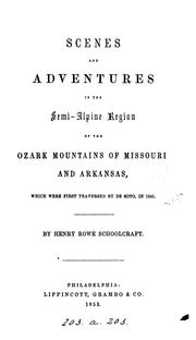

![The United States in Literature [with three long stories] -- Seventh Edition](https://covers.openlibrary.org/b/id/6699609-M.jpg)

Search results from Open Library.
Recent natural events nearby
Ground air-quality sensors
Recently spotted species
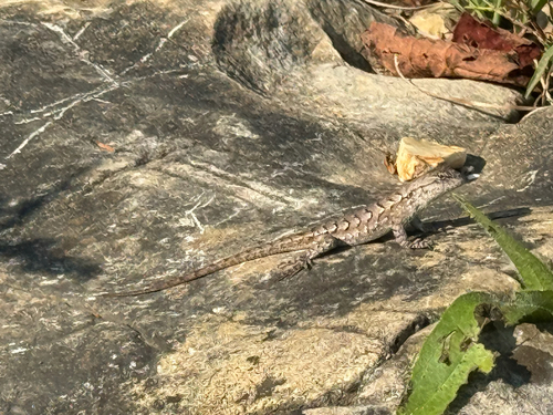
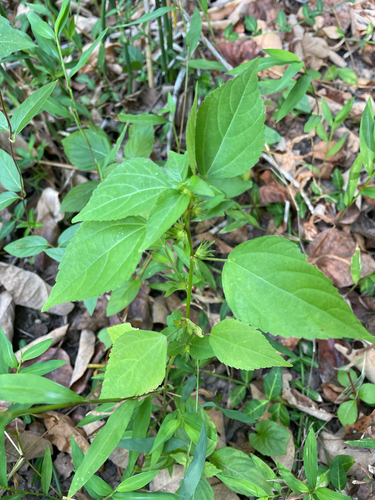
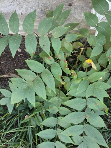
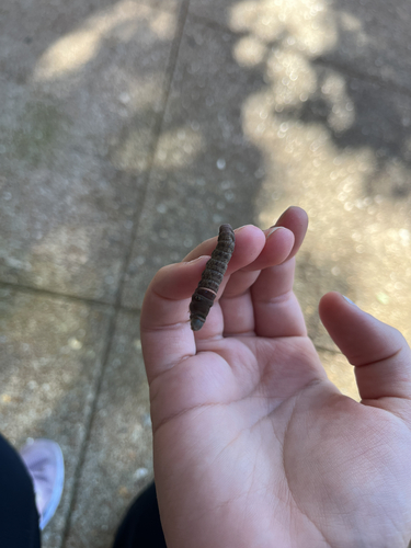
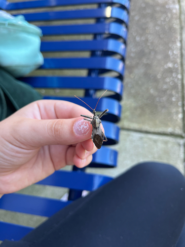
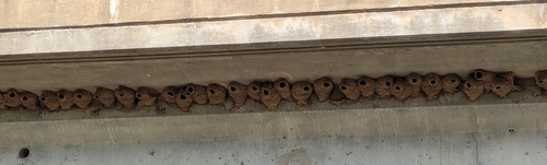
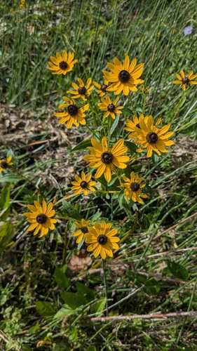
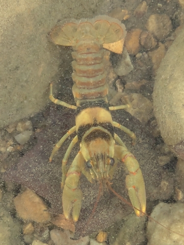
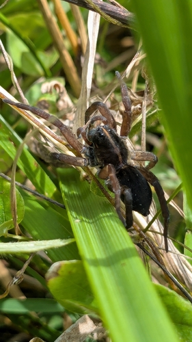
Research-grade observations from iNaturalist (within ~15 mi).
Nearest stream gauge
Live readings from USGS NWIS · measured 2026-10-16 01:25 UTC.
Events
Gallery
Sources
- • Wikipedia
- • US Census Bureau (ACS 5-year estimates)
- • Open-Meteo (ERA5 reanalysis)
- • NOAA National Weather Service
- • Wikidata
- • Open-Meteo Air Quality (CAMS)
- • USGS NWIS (water data)
- • GBIF (Global Biodiversity Information Facility)
- • iNaturalist
- • CDC PLACES
- • Open-Elevation
- • Open-Meteo / sunrise-sunset.org
- • Wikipedia Pageviews API
- • Open Library