Browse / United States / Missouri / Downing
Downing
Missouricity

Downing
Total population
277
Median home value
$79,200
Bachelor's+
Median income
$32,308
Founded
1872
Demographic figures from US Census Bureau · ACS 5-year estimates. Overview below cites Wikipedia and may reference a different year.
City facts
Facts from Wikidata (CC0).
Overview
Downing is a city in Schuyler County, Missouri, United States. As of the 2020 census, its population was 300. It is part of the Kirksville Micropolitan Statistical Area.
Read more on WikipediaHistory & geography
History
Although not being laid out as a town until 1872, the Downing area was one of the earliest settled areas of Schuyler County, with Henry Downing building a home and claiming land a few miles south of the area circa 1837. It was also near present-day Downing that the first school in the county was established. In the spring of 1841, a crude log cabin was built for this purpose near Henry Downing's home and Miss Esther Hathaway was employed as a teacher. One of the early names for the unincorporated settlement was Cherry Grove. During the Civil War, on July 1, 1862, a small skirmish took place near Cherry Grove. Cavalry from the second battalion, Eleventh Missouri State Militia, a pro-Union force, engaged a small number of Confederate troops under Colonel Joseph C. Porter. Porter's outnumbered forces were defeated, with four killed and several men and horses captured. The Union forces had one man badly injured, who would die a few days later. At the time of the skirmish, Porter was heavily involved in recruiting men in northeast Missouri for the Confederate cause. The following month, he suffered a larger defeat some twenty-five miles southwest at the Battle of Kirksville. In September 1872, the Missouri Town Company created the original town plat, naming it for the president of the company, H. H. Downing. Land for the town, the railroad right of way, and depot were donated by James Prime, and the Missouri, Iowa, and Nebraska Railway constructed the depot in April 1872. By the late 1880s, the Downing business district included four general stores, two drug stores, two grocers, two hardware stores, a restaurant, blacksmith, and two hotels. Manufacturing included two handle factories, a wagon maker, a hoop factory, a harness and saddle maker, and two combination saw/grist…
Geography
Downing is located at (40.487682, -92.368022). According to the United States Census Bureau, the city has a total area of , of which is land and is water.
Excerpted from the corresponding Wikipedia article (CC BY-SA).
Demographics & economy
Race & ethnicity
Source: US Census Bureau — American Community Survey, 5-year estimates.
Geography
Coordinates & boundaries from the US Census TIGER/Line shapefiles.
Climate
Current forecast
Forecast for Downing, MO from NOAA NWS API.
Air quality
Industrial & pollution facilities
Natural hazard risk
Health (adults)
Walkability
Amenities nearby
Wildlife & biodiversity
Most-observed species
- Blue JayCyanocitta cristata (Linnaeus, 1758) · Aves88
- American CrowCorvus brachyrhynchos C.L.Brehm, 1822 · Aves77
- American RobinTurdus migratorius Linnaeus, 1766 · Aves72
- Red-winged BlackbirdAgelaius phoeniceus (Linnaeus, 1766) · Aves67
- Turkey VultureCathartes aura (Linnaeus, 1758) · Aves63
- European StarlingSturnus vulgaris Linnaeus, 1758 · Aves63
- Northern CardinalCardinalis cardinalis (Linnaeus, 1758) · Aves60
- Northern FlickerColaptes auratus (Linnaeus, 1758) · Aves53
Citizen-science & research observations from the Global Biodiversity Information Facility (GBIF).
Schools
Earthquake history
Most recent
- M 2.5 — 2025-06-2510 km WNW of Marysville, Iowa
Events from the USGS Earthquake Catalog (global) (FDSN Event Web Service).
Photos
Sights & places nearby
Notable people from here

People born within ~10 km, from Wikidata (CC0). Click any name for their Wikipedia article.
Nearby places in Missouri
Geography & sun
Elevation, sunrise/sunset and daylight from Open-Meteo. Solar climatology from NASA POWER.
Nearby airports
Public attention
Pageview totals from the Wikimedia Pageviews API.
Books about Downing
Search results from Open Library.
Recent natural events nearby
Ground air-quality sensors
Recently spotted species
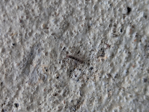
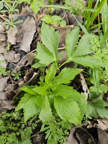
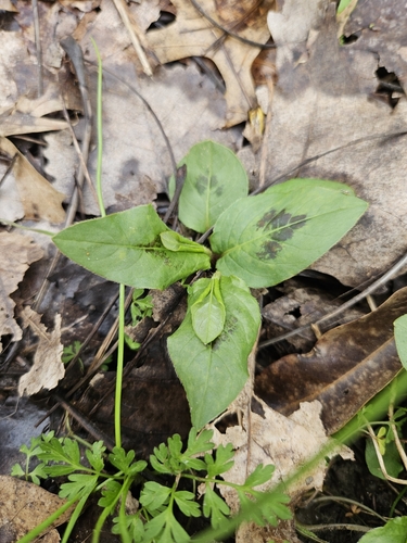
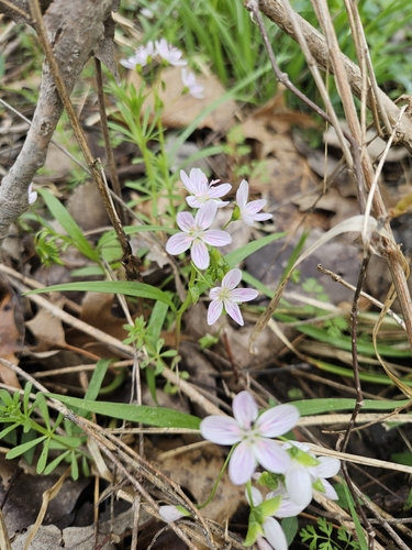
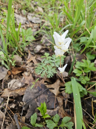
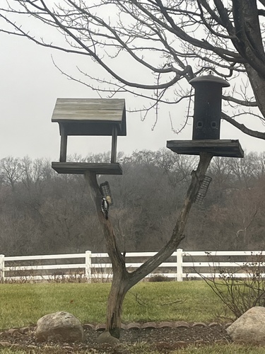
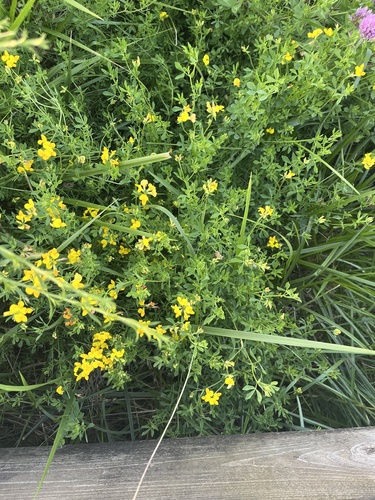
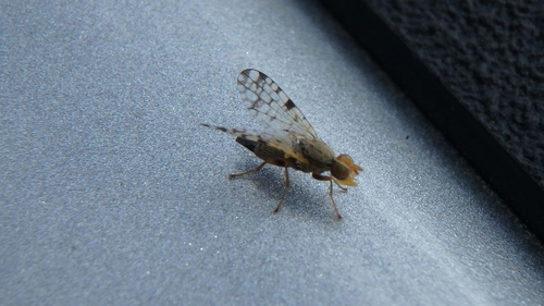
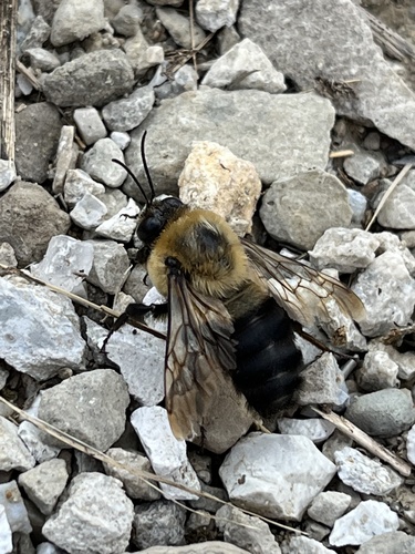
Research-grade observations from iNaturalist (within ~15 mi).
Nearest stream gauge
Events
Gallery
Sources
- • Wikipedia
- • US Census Bureau (ACS 5-year estimates)
- • NOAA National Weather Service
- • Wikidata
- • USGS Earthquake Catalog (global feed)
- • GBIF (Global Biodiversity Information Facility)
- • iNaturalist
- • Open-Meteo / sunrise-sunset.org
- • Wikipedia Pageviews API
- • Open Library