Browse / United States / Missouri / Excelsior Springs
Excelsior Springs
Missouricity

Excelsior Springs
Total population
10,484
Founded
1880
Demographic figures from US Census Bureau · ACS 5-year estimates. Overview below cites Wikipedia and may reference a different year.
City facts
Facts from Wikidata (CC0).
Overview
Excelsior Springs is a city in Clay and Ray counties in the U.S. state of Missouri and part of the Kansas City metropolitan area. The population was 10,553 at the 2020 census. It is located approximately 30 miles (48 km) northeast of central Kansas City, Missouri.
Read more on WikipediaHistory & geography
History
This location had a major incident during the historic march of Zion's Camp in 1834 when a contingent of about 200 Mormon believers, marching to rescue their brethren in Jackson County, faced an angry mob of more than 300. Near two forks of Fishing River, a terrible fight was about to start when a severe thunderstorm rolled in suddenly and put the mob to flight. Historical markers to the incident are located nearby. The town was founded because of the natural spring water that gushed from the depths of the earth. The spring was accidentally discovered in 1880 by a Black farmer, Travis Mellion, when his daughter Opal fell ill with scrofula, a form of cervical tuberculosis. He asked for advice from nearby campers, and they suggested the spring that oozed from the bank of the Fishing River. Water was brought to his daughter and in a few weeks, her health improved noticeably, and she eventually recovered. A log-cabin farmer, Frederick Kugler, also begin to treat his rheumatic knees and a recurring sore from a Civil War wound, and he soon recovered. Rev. John Van Buren Flack traveled there in 1880 after hearing about the medicinal values of the spring water. The spring belonged to land owner Anthony W. Wyman. After Flack investigated the water sources, he advised Wyman to have the land platted, water analyzed, and to begin advertising the cures the water held. Flack built a home on a tract that Wyman had platted and opened the town's first dry goods store and the first church. The spring was named Excelsior after a popular Longfellow poem, which later changed to Siloam. Within one year, nearly two hundred households were built in the valley and the nearby hillsides. The springs proved successful and brought many new people to the area, who camped out in tents or in…
Geography
Excelsior Springs is located along the East Fork Fishing River. According to the United States Census Bureau, the city has a total area of , of which is land and is water.
Excerpted from the corresponding Wikipedia article (CC BY-SA).
Demographics & economy
Geography
Coordinates & boundaries from the US Census TIGER/Line shapefiles.
Climate
Current forecast
Forecast for Excelsior Springs, MO from NOAA NWS API.
Air quality
Industrial & pollution facilities
Natural hazard risk
Health (adults)
Age-adjusted prevalence estimates from CDC PLACES (latest release).
Walkability
Amenities nearby
Wildlife & biodiversity
Most-observed species
- Northern CardinalCardinalis cardinalis (Linnaeus, 1758) · Aves2,310
- Blue JayCyanocitta cristata (Linnaeus, 1758) · Aves1,934
- Black-capped ChickadeePoecile atricapillus (Linnaeus, 1766) · Aves1,703
- Red-bellied WoodpeckerMelanerpes carolinus (Linnaeus, 1758) · Aves1,596
- Tufted TitmouseBaeolophus bicolor (Linnaeus, 1766) · Aves1,531
- Downy WoodpeckerDryobates pubescens (Linnaeus, 1766) · Aves1,528
- American GoldfinchSpinus tristis (Linnaeus, 1758) · Aves1,325
- American RobinTurdus migratorius Linnaeus, 1766 · Aves1,224
Citizen-science & research observations from the Global Biodiversity Information Facility (GBIF).
Schools
Earthquake history
Most recent
- M 2.53 — 2025-07-153 km W of Hale, Missouri
- M 3.5 — 2024-03-152 km NE of Ferrelview, Missouri
- M 2.6 — 2018-07-201 km WNW of Saint Joseph, Missouri
- M 3.1 — 2007-03-235 km N of Nortonville, Kansas
Events from the USGS Earthquake Catalog (global) (FDSN Event Web Service).
Photos
Sights & places nearby
Notable people from here


People born within ~10 km, from Wikidata (CC0). Click any name for their Wikipedia article.
Nearby places in Missouri
Geography & sun
Elevation, sunrise/sunset and daylight from Open-Meteo. Solar climatology from NASA POWER.
Nearby airports
Public attention
Pageview totals from the Wikimedia Pageviews API.
Books about Excelsior Springs


Search results from Open Library.
Recent natural events nearby
- Wildfire BISON, Osage, OklahomaWildfires · 2026-08-21 · 205 mi
- Wildfire B.B, Osage, OklahomaWildfires · 2026-08-06 · 207 mi
Wildfires, storms and other events from NASA EONET (last 12 months, within 250 mi).
Ground air-quality sensors
Recently spotted species
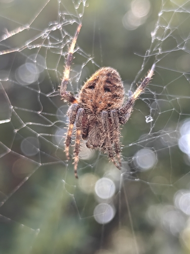
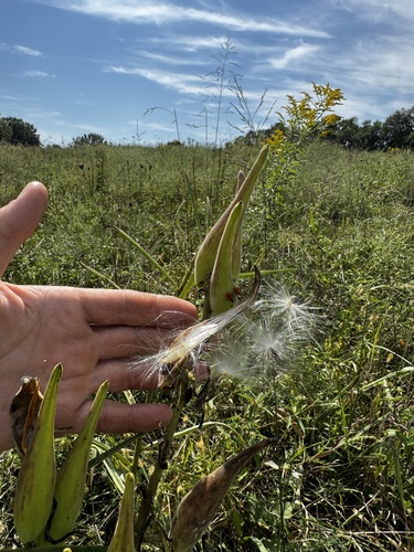
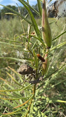
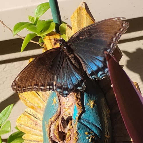
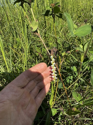
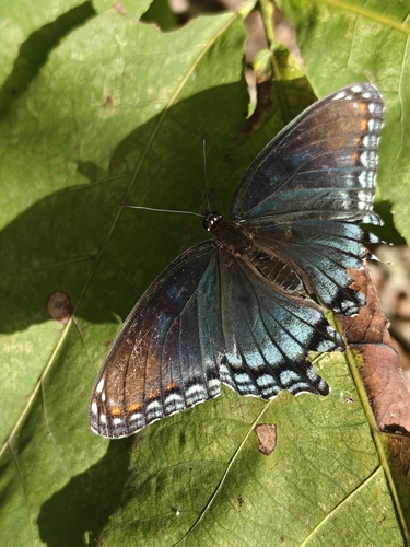
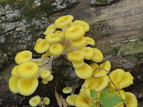
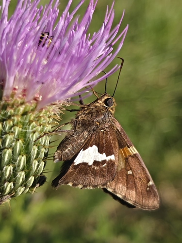
Research-grade observations from iNaturalist (within ~15 mi).
Nearest stream gauge
Events
Gallery
Sources
- • Wikipedia
- • NOAA National Weather Service
- • Wikidata
- • USGS Earthquake Catalog (global feed)
- • GBIF (Global Biodiversity Information Facility)
- • iNaturalist
- • CDC PLACES
- • Open-Meteo / sunrise-sunset.org
- • Wikipedia Pageviews API
- • Open Library
- • NASA EONET