Browse / United States / Missouri / Fremont
Fremont
MissouriCDP
Total population
107
Median home value
$0
Bachelor's+
Median income
$0
Demographic figures from US Census Bureau · ACS 5-year estimates. Overview below cites Wikipedia and may reference a different year.
City facts
Overview
Fremont is a small census-designated community that lies in Missouri, United States. Geographically it lies in the northern hemisphere at a warm temperate latitude (36.952°, -91.162°). Census-style estimates put the resident count near 107. At 214 people per km², the census-designated community shows loosely populated. Climatically, locations at this latitude tend to experience warm summers and cool winters. It covers a compact 0.5 km² of land area. The location receives about 1,602 kWh/m² of solar irradiance per year and sunshine for roughly 63% of daylight hours. Continue scrolling for population, climate, environmental and points-of-interest data drawn from public sources.
Summary composed automatically from structured open data on this page. See our Terms for details.
History & geography
Demographics & economy
Race & ethnicity
Source: US Census Bureau — American Community Survey, 5-year estimates.
Geography
Coordinates & boundaries from the US Census TIGER/Line shapefiles.
Climate
Current forecast
Forecast for Fremont, MO from NOAA NWS API.
Air quality
Industrial & pollution facilities
Natural hazard risk
Health (adults)
Walkability
Amenities nearby
Wildlife & biodiversity
Most-observed species
- American CrowCorvus brachyrhynchos C.L.Brehm, 1822 · Aves747
- Tufted TitmouseBaeolophus bicolor (Linnaeus, 1766) · Aves742
- Carolina ChickadeePoecile carolinensis (Audubon, 1834) · Aves729
- Turkey VultureCathartes aura (Linnaeus, 1758) · Aves689
- Northern CardinalCardinalis cardinalis (Linnaeus, 1758) · Aves650
- Red-bellied WoodpeckerMelanerpes carolinus (Linnaeus, 1758) · Aves645
- Blue JayCyanocitta cristata (Linnaeus, 1758) · Aves640
- Pileated WoodpeckerDryocopus pileatus (Linnaeus, 1758) · Aves632
Citizen-science & research observations from the Global Biodiversity Information Facility (GBIF).
Schools
Largest nearby schools
- VAN BUREN ELEM.Elementary · VAN BUREN · 291 students · 11.6:1 ratio
- VAN BUREN HIGHHigh · VAN BUREN · 225 students · 12.5:1 ratio
Public K–12 schools within ~10 mi from Urban Institute Education Data Portal (NCES Common Core of Data, 2022).
Earthquake history
Photos
Sights & places nearby
Notable people from here
Nearby places in Missouri
Geography & sun
Elevation, sunrise/sunset and daylight from Open-Meteo. Solar climatology from NASA POWER.
Nearby airports
Public attention
Pageview totals from the Wikimedia Pageviews API.
Books about this place
Recent natural events nearby
- Wildfire Bunker Fire, Calhoun, ArkansasWildfires · 2026-09-15 · 247 mi
- Wildfire Bunker Fire, Calhoun, ArkansasWildfires · 2026-09-14 · 247 mi
Wildfires, storms and other events from NASA EONET (last 12 months, within 250 mi).
Ground air-quality sensors
Recently spotted species
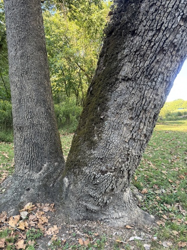
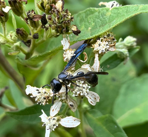
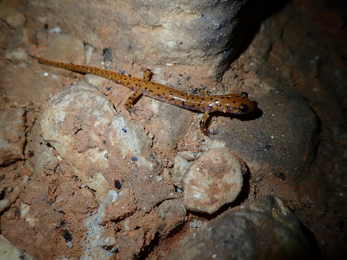
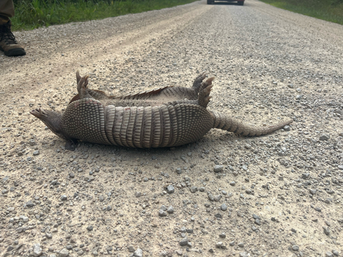
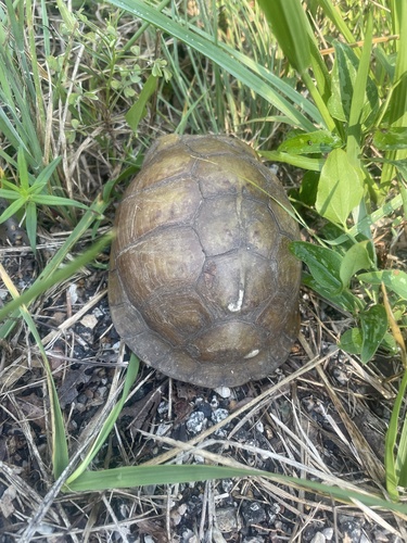
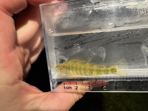
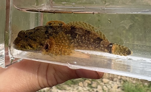
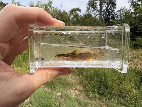
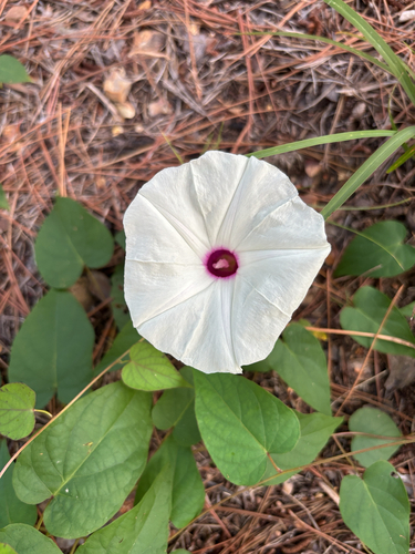
Research-grade observations from iNaturalist (within ~15 mi).
Nearest stream gauge
Events
Gallery
Sources
- • US Census Bureau (ACS 5-year estimates)
- • NOAA National Weather Service
- • NCES via Urban Institute Education Data Portal
- • GBIF (Global Biodiversity Information Facility)
- • iNaturalist
- • Open-Meteo / sunrise-sunset.org
- • Wikipedia Pageviews API
- • NASA EONET