Browse / United States / Missouri / Joplin
Joplin
Missouricity

Joplin
Total population
52,593
Founded
1873
Demographic figures from US Census Bureau · ACS 5-year estimates. Overview below cites Wikipedia and may reference a different year.
- Heat Advisory · ModerateHeat Advisory issued September 16 at 11:05AM CDT until September 19 at 8:00PM CDT by NWS Springfield MO
Source: NOAA National Weather Service.
City facts
Sister cities
Facts from Wikidata (CC0).
Overview
Joplin is a city in Jasper and Newton counties in the U.S. state of Missouri. Most of the city lies in Jasper County, with the southern portion of Joplin extending into Newton County. With a population of 51,762 at the 2020 census, Joplin is the 12th most-populous city in the state. The city covers an area of 38.21 square miles (99.0 km2) on the outer edge of the Ozark Mountains in southwestern Missouri. Joplin is the principal city of the three-county Joplin metropolitan area, which is home to 210,077 people and is the fifth-largest metropolitan area in Missouri. In May 2011, a violent EF5 tornado killed more than 150 people and destroyed one-third of the city.
Read more on WikipediaHistory & geography
History
Lead was discovered in the Joplin Creek Valley before the Civil War, but only after the war did significant development take place. By 1871, numerous mining camps sprang up in the valley and resident John C. Cox filed a plan for a city on the east side of the valley. Cox named his village Joplin City after the spring and creek nearby, which had been named for the Reverend Harris G. Joplin, who settled upon its banks circa 1840. Carthage resident Patrick Murphy filed a plan for a city on the opposite side of the valley and named it Murphysburg. As the nearest sheriff was in Carthage, frontier lawlessness abounded in Joplin. The historic period was referred to as the "Reign of Terror". The cities eventually merged into Union City, but when the merger was found illegal, the cities split. Murphy suggested that a combined city be named Joplin. The cities merged again on March 23, 1873, this time permanently, as the City of Joplin. While Joplin was first settled for lead mining, zinc, often referred to as "jack", was the most important mineral resource. As railroads were built to connect Joplin to major markets in other cities, it was on the verge of dramatic growth. By the start of the 20th century, the city was becoming a regional metropolis. Construction centered around Main Street, with many bars, hotels, and fine homes nearby. Joplin's three-story "House of Lords" was its most famous saloon, with a bar and restaurant on the first floor, gambling on the second, and a brothel on the third. Trolley and rail lines made Joplin the hub of southwest Missouri. As the center of the tri-state district, it soon became the lead- and zinc-mining capital of the world. As a result of extensive surface and deep mining, Joplin is dotted with open-pit mines and mineshafts. Mining left…
Geography
Joplin is the center of what is regionally known as the Four State Area: Oklahoma, Arkansas, Missouri, and Kansas. Joplin is located north of I-44, its passage to the west into Oklahoma. In recent years, the residential development of Joplin has spread north to Webb City. Route 66 (formerly US 66) passes through Joplin, as 7th Street. The city is drained by Joplin, Turkey, Silver and Shoal creeks. According to the United States Census Bureau, the city has a total area of , of which is land and is water. Roanoke, Arbor Hills, Blendville, Gateway Drive, Iron Gates, Eastmorland, Midway, Murphysburg, North Heights, Oak Pointe, Royal Heights, Silver Creek, Sunnyvale, Sunset Ridge, Westberry Square, and Cedar Ridge are among the many neighborhoods in Joplin. Joplin has a humid subtropical climate (Cfa), as defined by the Köppen climate classification system, with cool, dry winters and hot, humid summers; the severe weather season from April through June is the wettest time of year. The monthly daily average temperature ranges from in January to in July. }}
Excerpted from the corresponding Wikipedia article (CC BY-SA).
Demographics & economy
Geography
Coordinates & boundaries from the US Census TIGER/Line shapefiles.
Climate
Current forecast
Forecast for Joplin, MO from NOAA NWS API.
Air quality
Industrial & pollution facilities
Natural hazard risk
Health (adults)
Age-adjusted prevalence estimates from CDC PLACES (latest release).
Walkability
Amenities nearby
Wildlife & biodiversity
Most-observed species
- Northern CardinalCardinalis cardinalis (Linnaeus, 1758) · Aves7,463
- Carolina ChickadeePoecile carolinensis (Audubon, 1834) · Aves5,600
- Downy WoodpeckerDryobates pubescens (Linnaeus, 1766) · Aves4,741
- Tufted TitmouseBaeolophus bicolor (Linnaeus, 1766) · Aves4,693
- House SparrowPasser domesticus (Linnaeus, 1758) · Aves4,620
- American CrowCorvus brachyrhynchos C.L.Brehm, 1822 · Aves4,349
- Mourning DoveZenaida macroura (Linnaeus, 1758) · Aves4,260
- Red-bellied WoodpeckerMelanerpes carolinus (Linnaeus, 1758) · Aves4,029
Citizen-science & research observations from the Global Biodiversity Information Facility (GBIF).
Schools
Largest nearby schools
- JOPLIN HIGHHigh · JOPLIN · 2,233 students · 18.6:1 ratio
- WEBB CITY HIGHHigh · WEBB CITY · 1,349 students · 15.7:1 ratio
- Carl Junction High SchoolHigh · Carl Junction · 960 students · 15.7:1 ratio
- Carl Junction IntermediateMiddle · Carl Junction · 777 students · 14.9:1 ratio
- WEBB CITY JR. HIGHMiddle · WEBB CITY · 732 students · 14.9:1 ratio
- WEBB CITY MIDDLEMiddle · WEBB CITY · 696 students · 15.1:1 ratio
- Carl Junction Primary K-1Elementary · Carl Junction · 670 students · 16.3:1 ratio
- EAST MIDDLEMiddle · JOPLIN · 597 students · 13.9:1 ratio
Public K–12 schools within ~10 mi from Urban Institute Education Data Portal (NCES Common Core of Data, 2022).
Earthquake history
Most recent
- M 3 — 2014-10-019 km SSW of Galesburg, Kansas
- M 2.6 — 2010-05-212 km SW of Centerton, Arkansas
- M 2.5 — 2010-04-293 km SW of Centerton, Arkansas
Events from the USGS Earthquake Catalog (global) (FDSN Event Web Service).
Photos
Sights & places nearby
Notable people from here


People born within ~10 km, from Wikidata (CC0). Click any name for their Wikipedia article.
Nearby places in Missouri
Geography & sun
Elevation, sunrise/sunset and daylight from Open-Meteo. Solar climatology from NASA POWER.
Nearby airports
Public attention
Pageview totals from the Wikimedia Pageviews API.
Books about Joplin


Search results from Open Library.
Recent natural events nearby
- Wildfire BISON, Osage, OklahomaWildfires · 2026-08-21 · 102 mi
- Wildfire B.B, Osage, OklahomaWildfires · 2026-08-06 · 109 mi
- Wildfire WRIGHT, Hughes, OklahomaWildfires · 2026-08-29 · 156 mi
- Wildfire Snake Mountain, Pushmataha, OklahomaWildfires · 2026-08-14 · 183 mi
- Wildfire Alexander Trail Fire, Pushmataha, OklahomaWildfires · 2026-08-30 · 185 mi
- Wildfire Alexander Trail, Pushmataha, OklahomaWildfires · 2026-08-30 · 185 mi
- Wildfire Buck Creek, Pushmataha, OklahomaWildfires · 2026-08-25 · 190 mi
- Wildfire 2690, Caddo, OklahomaWildfires · 2026-08-21 · 244 mi
Wildfires, storms and other events from NASA EONET (last 12 months, within 250 mi).
Ground air-quality sensors
Recently spotted species
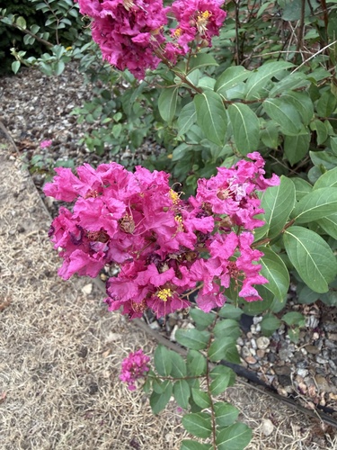
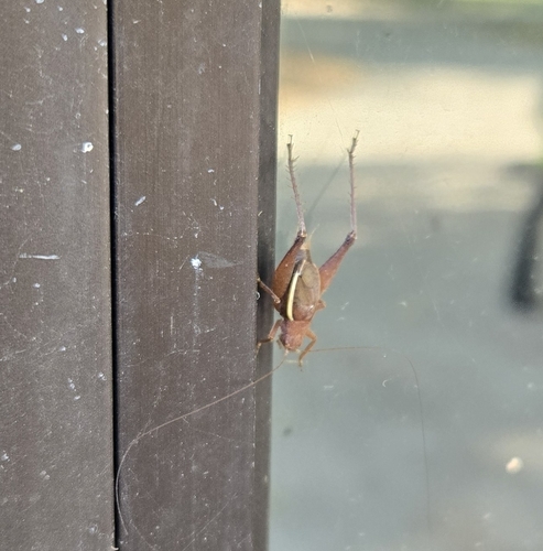
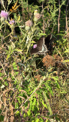
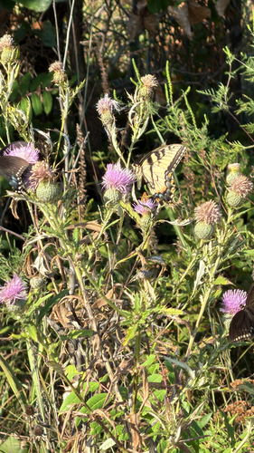
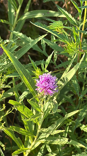
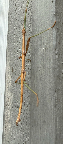
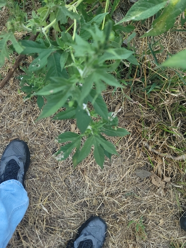
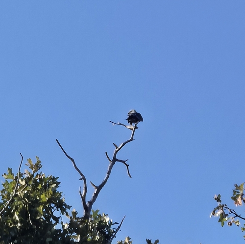
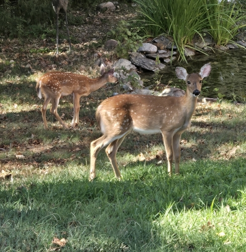
Research-grade observations from iNaturalist (within ~15 mi).
Nearest stream gauge
Events
Gallery
Sources
- • Wikipedia
- • NOAA National Weather Service
- • Wikidata
- • USGS Earthquake Catalog (global feed)
- • NCES via Urban Institute Education Data Portal
- • GBIF (Global Biodiversity Information Facility)
- • iNaturalist
- • CDC PLACES
- • Open-Meteo / sunrise-sunset.org
- • Wikipedia Pageviews API
- • Open Library
- • NASA EONET