Browse / United States / Missouri / Kingdom City
Kingdom City
Missourivillage

Kingdom City
Total population
114
Median home value
$86,400
Bachelor's+
Median income
$32,813
Demographic figures from US Census Bureau · ACS 5-year estimates. Overview below cites Wikipedia and may reference a different year.
City facts
Facts from Wikidata (CC0).
Overview
Kingdom City is a village in Callaway County, Missouri, United States. It is part of the Jefferson City Metropolitan Statistical Area. As of the 2020 census, Kingdom City had a population of 134. The village lies north of the intersection of Interstate 70 and U.S. Route 54.
Read more on WikipediaHistory & geography
History
The intersection that would give rise to Kingdom City was built in the late 1920s. The city of Fulton hoped that the planned US Route 40 would run from Columbia to their city, where it would intersect with the planned US Route 54. But residents of McCredie to the north fought for a route closer to their town, including staging a parade through the heart of Fulton with banners that read "54-40 or Fight". On December 30, 1925, the Supreme Court backed the Highway Commission's chosen route through a rural farm and forested area south of McCredie. When the road was being built and huge numbers of workers were brought in to do the work, McCredie became a boom town. The future Kingdom City received its first gas station and a two-story hotel, which burned down in 1930. At the time, the intersection was referred to only as the "Y". People in Fulton wanted to name it "North Fulton"; people in McCredie called it "South McCredie". The Kingdom Oil Company, owned by B.P. (Bernard Parker) Beamer, suggested Kingdom City after the nickname for Callaway County. Through the 1920s and 30s, numerous dance halls, restaurants, cafés, and hotels came and went in Kingdom City. Gasper's opened for business in 1965, and presently became a local landmark. In 1970, the McCredie Post Office moved to Kingdom City and took the community's name. This was the same year Kingdom City incorporated as a village and included the former unincorporated community of McCredie.
Geography
Kingdom City is located along U.S. Route 54 about a half-mile north of I-70. McKinney Creek flows past the south edge of the community and Auxvasse Creek passes two miles to the north. The town of Auxvasse lies about five miles north along Route 54. As of May 2024, the Route 54/I-70 intersection was to be upgraded, with roundabouts and a flyover, part of a larger project to expand I-70 in Missouri. According to the United States Census Bureau, the village has a total area of , of which of it is land and is water.
Excerpted from the corresponding Wikipedia article (CC BY-SA).
Demographics & economy
Race & ethnicity
Source: US Census Bureau — American Community Survey, 5-year estimates.
Geography
Coordinates & boundaries from the US Census TIGER/Line shapefiles.
Climate
Current forecast
Forecast for Kingdom City, MO from NOAA NWS API.
Air quality
Industrial & pollution facilities
Natural hazard risk
Health (adults)
Age-adjusted prevalence estimates from CDC PLACES (latest release).
Walkability
Amenities nearby
Wildlife & biodiversity
Most-observed species
- Blue JayCyanocitta cristata (Linnaeus, 1758) · Aves841
- Northern CardinalCardinalis cardinalis (Linnaeus, 1758) · Aves831
- Red-bellied WoodpeckerMelanerpes carolinus (Linnaeus, 1758) · Aves705
- Mourning DoveZenaida macroura (Linnaeus, 1758) · Aves655
- Tufted TitmouseBaeolophus bicolor (Linnaeus, 1766) · Aves653
- American RobinTurdus migratorius Linnaeus, 1766 · Aves627
- Downy WoodpeckerDryobates pubescens (Linnaeus, 1766) · Aves543
- Turkey VultureCathartes aura (Linnaeus, 1758) · Aves525
Citizen-science & research observations from the Global Biodiversity Information Facility (GBIF).
Schools
Largest nearby schools
- FULTON SR. HIGHHigh · FULTON · 678 students · 15.8:1 ratio
- FULTON MIDDLEMiddle · FULTON · 498 students · 12.1:1 ratio
- BUSH ELEM.Elementary · FULTON · 370 students · 13.7:1 ratio
- NORTH CALLAWAY HIGHHigh · KINGDOM CITY · 364 students · 12.1:1 ratio
- MCINTIRE ELEM.Elementary · FULTON · 363 students · 13.4:1 ratio
- HATTON-MCCREDIE ELEM.Elementary · KINGDOM CITY · 248 students · 12.4:1 ratio
- BARTLEY ELEM.Elementary · FULTON · 237 students · 12.5:1 ratio
- NORTH CALLAWAY MIDDLE SCHOOLMiddle · AUXVASSE · 234 students · 12.3:1 ratio
Public K–12 schools within ~10 mi from Urban Institute Education Data Portal (NCES Common Core of Data, 2022).
Earthquake history
Most recent
- M 2.59 — 2022-12-054 km SW of Madison, Missouri
- M 3.3 — 2005-07-31Missouri
- M 2.9 — 2004-02-086 km SSW of Stoutsville, Missouri
Events from the USGS Earthquake Catalog (global) (FDSN Event Web Service).
Photos
Sights & places nearby
Notable people from here


People born within ~10 km, from Wikidata (CC0). Click any name for their Wikipedia article.
Nearby places in Missouri
- New Bloomfield18 mi away · pop. 876
- Martinsburg18.8 mi away
- Hallsville19.6 mi away · pop. 1,927
- Pierpont21.1 mi away
- Montgomery City23.3 mi away
- Morrison25.2 mi away
- Sturgeon27.2 mi away
- McKittrick30 mi away
- Harrisburg31.1 mi away · pop. 312
- Bellflower31.6 mi away · pop. 238
- Jamestown32 mi away · pop. 280
- St. Martins32.3 mi away
Geography & sun
Elevation, sunrise/sunset and daylight from Open-Meteo. Solar climatology from NASA POWER.
Nearby airports
Public attention
Pageview totals from the Wikimedia Pageviews API.
Books about Kingdom City





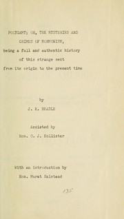

Search results from Open Library.
Recent natural events nearby
Ground air-quality sensors
Recently spotted species
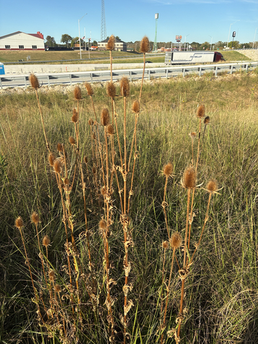
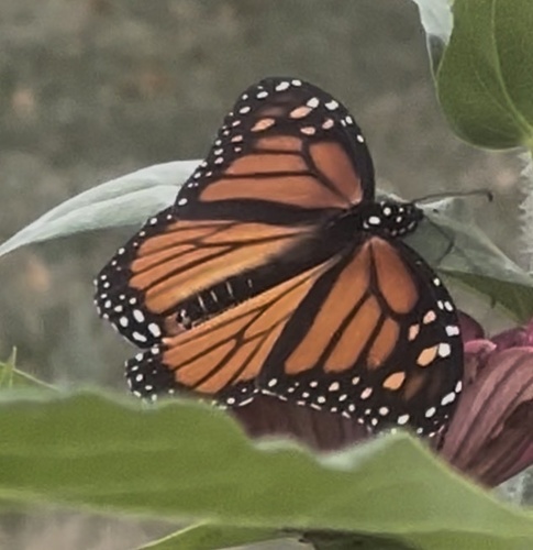

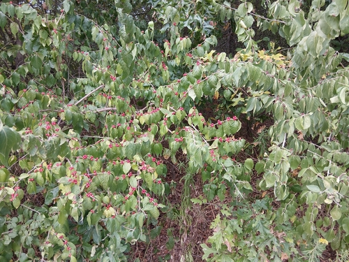


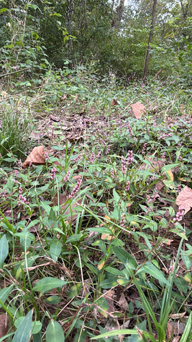


Research-grade observations from iNaturalist (within ~15 mi).
Nearest stream gauge
Events
Gallery
Sources
- • Wikipedia
- • US Census Bureau (ACS 5-year estimates)
- • NOAA National Weather Service
- • Wikidata
- • USGS Earthquake Catalog (global feed)
- • NCES via Urban Institute Education Data Portal
- • GBIF (Global Biodiversity Information Facility)
- • iNaturalist
- • CDC PLACES
- • Open-Meteo / sunrise-sunset.org
- • Wikipedia Pageviews API
- • Open Library