Browse / United States / Missouri / Lake St. Louis
Lake St. Louis
Missouricity

Lake St. Louis
Total population
18,066
Median home value
$405,900
Bachelor's+
Median income
$125,693
Founded
1961
Demographic figures from US Census Bureau · ACS 5-year estimates. Overview below cites Wikipedia and may reference a different year.
- Heat Advisory · ModerateHeat Advisory issued September 18 at 2:00PM CDT until September 19 at 8:00PM CDT by NWS St Louis MO
- Air Quality Alert · UnknownAir Quality Alert issued September 17 at 3:27PM CDT by NWS St Louis MO
Source: NOAA National Weather Service.
City facts
Facts from Wikidata (CC0).
Overview
The City of Lake St. Louis is a planned community and suburb of greater St. Louis, situated around two lakes between Interstate 70 and Interstate 64 in western St. Charles County, Missouri, United States. The population was 16,707 as of the 2020 US Census. Lake St. Louis is 43 miles (69 km) from the city of St. Louis.
Read more on WikipediaHistory & geography
History
In January 1961, Ellis Ellerman and Ira Nathan began planning a private resort community, a popular concept in the 1960s in the St. Louis region. The vision was for a weekend resort with a lake large enough for recreation and a location close to St. Louis. Ellerman and Nathan hired engineers to begin the initial planning of the lake and community, and Nathan named the project "Lake St. Louis" in 1961. Ellerman and Nathan formed Trails Lake Development Corp. in 1962, and by August 31 of that year, 10 lots had already been sold in the project, which was to feature a 625 lake (PD article 8–25–63). Ellerman and Nathan lacked adequate financing and business experience and soon found themselves in over their heads. They were soon joined by several other investors to keep the project afloat, including R. T. Crow. Financial troubles continued for Ellerman and Nathan, and The Healey Discount Corp., owned by Crow and three other investors, foreclosed on Trails Lake Development Corp. in June 1966. R. T. Crow felt the location of "Lake St. Louis" (indicating a change of ownership and the "planned community" concept), between two major highways, I-70 and Rt. 61, and St. Louis's westward growth justified building a new town, not just the weekend community Ellerman and Nathan envisioned. He investigated the idea of new towns, visiting many in the east. In the end, Crow bought out the other three investors who were part of The Healey Discount Corp. and became the sole developer of the Lake St. Louis development. St. Charles County approved the preliminary plan for Lake St. Louis in April 1967. People who had purchased lots from the first developers were given credits for lots in the new project. Lake St. Louis's first residents were the Neal family, who moved to an existing home on…
Geography
According to the United States Census Bureau, the city has an area of , of which is land and is water.
Excerpted from the corresponding Wikipedia article (CC BY-SA).
Demographics & economy
Race & ethnicity
Source: US Census Bureau — American Community Survey, 5-year estimates.
Geography
Coordinates & boundaries from the US Census TIGER/Line shapefiles.
Climate
Current forecast
Forecast for Lake St. Louis, MO from NOAA NWS API.
Air quality
Industrial & pollution facilities
Natural hazard risk
Health (adults)
Walkability
Amenities nearby
Wildlife & biodiversity
Most-observed species
- Northern CardinalCardinalis cardinalis (Linnaeus, 1758) · Aves10,665
- Blue JayCyanocitta cristata (Linnaeus, 1758) · Aves8,205
- Tufted TitmouseBaeolophus bicolor (Linnaeus, 1766) · Aves7,649
- Red-bellied WoodpeckerMelanerpes carolinus (Linnaeus, 1758) · Aves7,541
- American RobinTurdus migratorius Linnaeus, 1766 · Aves6,968
- Downy WoodpeckerDryobates pubescens (Linnaeus, 1766) · Aves6,626
- American GoldfinchSpinus tristis (Linnaeus, 1758) · Aves6,421
- Mourning DoveZenaida macroura (Linnaeus, 1758) · Aves6,239
Citizen-science & research observations from the Global Biodiversity Information Facility (GBIF).
Schools
Earthquake history
Most recent
- M 2.57 — 2024-09-191 km S of Old Monroe, Missouri
- M 2.84 — 2022-04-291 km SSW of Peerless Park, Missouri
- M 2.57 — 2019-09-116 km NNE of Bonne Terre, Missouri
- M 2.58 — 2017-06-068 km ENE of Bonne Terre, Missouri
- M 2.65 — 2015-09-055 km SE of High Ridge, Missouri
- M 2.6 — 2014-02-0318 km NW of Potosi, Missouri
Events from the USGS Earthquake Catalog (global) (FDSN Event Web Service).
Photos
Sights & places nearby
Notable people from here


People born within ~10 km, from Wikidata (CC0). Click any name for their Wikipedia article.
Geography & sun
Elevation, sunrise/sunset and daylight from Open-Meteo. Solar climatology from NASA POWER.
Nearby airports
Public attention
Pageview totals from the Wikimedia Pageviews API.
Books about Lake St. Louis


Search results from Open Library.
Recent natural events nearby
Ground air-quality sensors
Recently spotted species

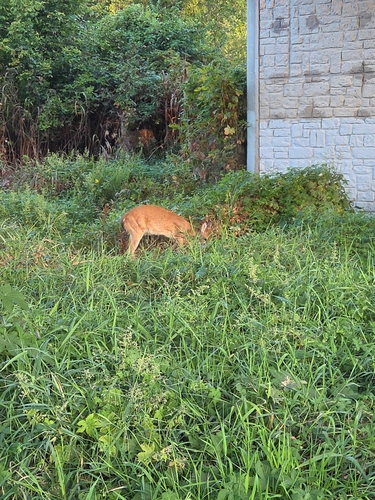



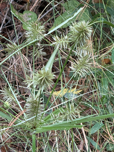



Research-grade observations from iNaturalist (within ~15 mi).
Nearest stream gauge
Events
Gallery
Sources
- • Wikipedia
- • US Census Bureau (ACS 5-year estimates)
- • NOAA National Weather Service
- • Wikidata
- • USGS Earthquake Catalog (global feed)
- • GBIF (Global Biodiversity Information Facility)
- • iNaturalist
- • Open-Meteo / sunrise-sunset.org
- • Wikipedia Pageviews API
- • Open Library