Browse / United States / Missouri / Mexico
Mexico
Missouricity

Mexico
Total population
11,477
Median home value
$139,800
Bachelor's+
Median income
$50,873
Founded
1836
Demographic figures from US Census Bureau · ACS 5-year estimates. Overview below cites Wikipedia and may reference a different year.
City facts
Facts from Wikidata (CC0).
Overview
Mexico, formerly known as New Mexico, is a city in and the county seat of Audrain County, Missouri, United States. It is home to the Missouri Military Academy and annually hosts the Miss Missouri Pageant. The city's population was 11,469 at the 2020 census. The micropolitan statistical area consists of Audrain County. It is a part of the Columbia, Missouri metropolitan area.
Read more on WikipediaHistory & geography
History
Mexico was laid out as "New Mexico" in 1836 and was a major stop for settlers heading to the Republic of Texas (thus the name "New Mexico"), and it became the county seat under its present name in 1837. The word "New" was dropped after the Mexican War that saw Texas become a part of the United States. There is an apocryphal story about the name. When a University of Missouri student, who was questioned on radio, was unable to give an account of her hometown's name, the question was put to L. Mitchell White, then editor and publisher of the Mexico Ledger: "'The first settlers found a wooden sign along the trail. It pointed southwest, and on it had been painted Mexico.'" To avoid unnecessary labor, the sign was left in place. "It was easier to call their town 'Mexico' than to take down the old sign." Mexico was incorporated as a town in 1855, was served by the Wabash Railroad in 1858 and by the Alton Railroad in 1872, and was first chartered as a city in 1874. The city is in the bluegrass region of Missouri, and was a shipping point for horses and mules. Mexico was a onetime major source for the nation's fire brick production, so much so that it adopted the moniker "Fire Brick Capital of the World". Bricks produced in Mexico were used in the construction of the NASA rocket launch site in Cape Canaveral. The industry fell on hard times and both major refractory plants in the area closed in 2002. There is no active quarrying for clay used in fire brick or refractories production in the area. Mexico is located in the central region of Missouri known as "Little Dixie," so named because of the settlement of the region by whites from border south states, intent on reproducing the ways and means of the Deep South. Over half of the enslaved population of Missouri was…
Geography
Mexico is located approximately 100 miles northwest of St Louis at the intersection of US Route 54 and state routes 22 and 15. According to the United States Census Bureau, the city has a total area of , of which is land and is water.
Excerpted from the corresponding Wikipedia article (CC BY-SA).
Demographics & economy
Race & ethnicity
Source: US Census Bureau — American Community Survey, 5-year estimates.
Geography
Coordinates & boundaries from the US Census TIGER/Line shapefiles.
Climate
Air quality
Industrial & pollution facilities
Natural hazard risk
Health (adults)
Age-adjusted prevalence estimates from CDC PLACES (latest release).
Walkability
Amenities nearby
Wildlife & biodiversity
Schools
Earthquake history
Photos
Sights & places nearby
Notable people from here


People born within ~10 km, from Wikidata (CC0). Click any name for their Wikipedia article.
Geography & sun
Elevation, sunrise/sunset and daylight from Open-Meteo. Solar climatology from NASA POWER.
Nearby airports
Public attention
Pageview totals from the Wikimedia Pageviews API.
Books about Mexico
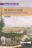
Search results from Open Library.
Recent natural events nearby
Ground air-quality sensors
Recently spotted species
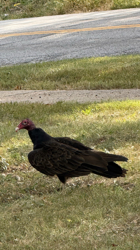
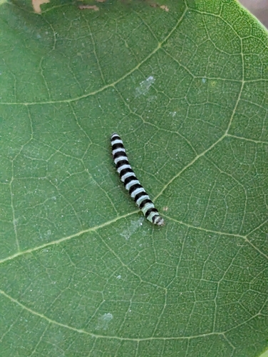
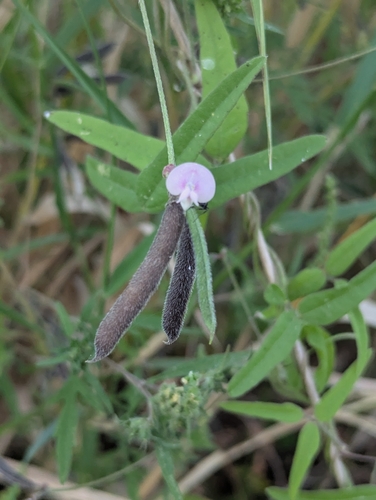
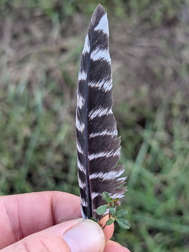
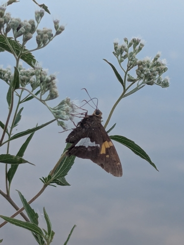
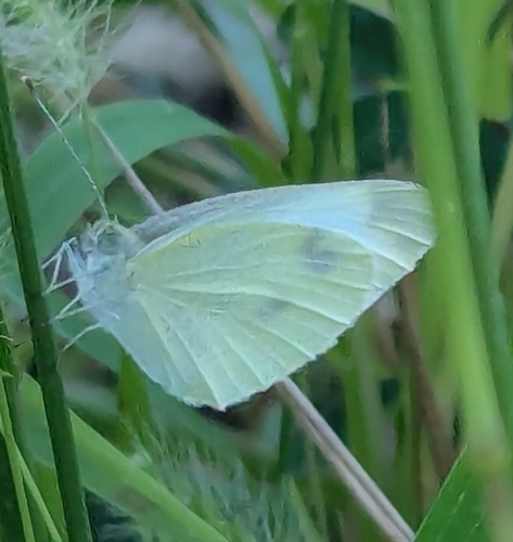
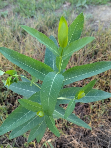
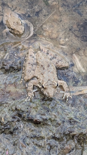
Research-grade observations from iNaturalist (within ~15 mi).
Nearest stream gauge
Events
Gallery
Sources
- • Wikipedia
- • US Census Bureau (ACS 5-year estimates)
- • Wikidata
- • iNaturalist
- • CDC PLACES
- • Open-Meteo / sunrise-sunset.org
- • Wikipedia Pageviews API
- • Open Library