Browse / United States / Missouri / Olean
Olean
Missouritown

Olean
Total population
168
Median home value
$0
Bachelor's+
Median income
$0
Demographic figures from US Census Bureau · ACS 5-year estimates. Overview below cites Wikipedia and may reference a different year.
- Heat Advisory · ModerateHeat Advisory issued September 18 at 1:32PM CDT until September 19 at 8:00PM CDT by NWS Springfield MO
Source: NOAA National Weather Service.
City facts
Facts from Wikidata (CC0).
Overview
Olean is a town in northern Miller County, Missouri, United States. The population was 114 at the 2020 census.
Read more on WikipediaHistory & geography
History
The community was laid in 1881-1882 by the Jefferson City, Lebanon and Southwestern Railway which became the Missouri Pacific Railroad. It was originally called "Proctor", after James G. Proctor, who was an early settler. The name was rejected because there was another Procter in Missouri. It was then changed to "Cove" because of its semicircular shape. That name was also rejected because of another similar name in the state. "Chester" was suggested but again was rejected because there was another Chester on the rail line. Ultimately, the railroad company imposed the name "Olean", after Olean, New York, apparently on a lark, as no documentation survives explaining any reasoning for choosing a city with no connections to the town in Missouri, which in turn had no connection to oil. Attribution to Dr. W.S. Allee appear not to be true, as Allee never lived in or visited New York State. At the turn of the 20th century, Olean contained a gristmill and a canning factory. The railroad left the community in 1962; its station is now listed on the National Register of Historic Places. Since 1993, the community has hosted an annual Testicle Festival featuring cooked testicles from various animals. The festival wasn't held for several due to COVID-19 pandemic. The Olean Railroad Depot was added to the National Register of Historic Places in 1993.
Geography
Olean is in northern Miller County, north-northeast of Eldon and southwest of Jefferson City, the state capital. According to the U.S. Census Bureau, Olean has an area of , all land. Blythe Creek passes through the southeast part of the town, flowing northeasterly toward South Moreau Creek, part of the Moreau watershed leading to the Missouri River.
Excerpted from the corresponding Wikipedia article (CC BY-SA).
Demographics & economy
Race & ethnicity
Source: US Census Bureau — American Community Survey, 5-year estimates.
Geography
Coordinates & boundaries from the US Census TIGER/Line shapefiles.
Climate
Current forecast
Forecast for Olean, MO from NOAA NWS API.
Air quality
Industrial & pollution facilities
Natural hazard risk
Health (adults)
Walkability
Amenities nearby
Wildlife & biodiversity
Most-observed species
- Northern CardinalCardinalis cardinalis (Linnaeus, 1758) · Aves600
- Blue JayCyanocitta cristata (Linnaeus, 1758) · Aves494
- Red-bellied WoodpeckerMelanerpes carolinus (Linnaeus, 1758) · Aves473
- Tufted TitmouseBaeolophus bicolor (Linnaeus, 1766) · Aves450
- Mourning DoveZenaida macroura (Linnaeus, 1758) · Aves439
- Red-winged BlackbirdAgelaius phoeniceus (Linnaeus, 1766) · Aves439
- Turkey VultureCathartes aura (Linnaeus, 1758) · Aves421
- European StarlingSturnus vulgaris Linnaeus, 1758 · Aves406
Citizen-science & research observations from the Global Biodiversity Information Facility (GBIF).
Schools
Earthquake history
Photos
Sights & places nearby
Notable people from here


People born within ~10 km, from Wikidata (CC0). Click any name for their Wikipedia article.
Nearby places in Missouri
- Eldon4.8 mi away · pop. 4,556
- Eugene7.9 mi away · pop. 158
- Latham13.1 mi away · pop. 75
- Lakeside15.1 mi away
- St. Martins16.7 mi away
- St. Thomas17.3 mi away
- Gravois Mills17.7 mi away · pop. 116
- St. Elizabeth17.8 mi away
- Clarksburg18.8 mi away · pop. 304
- Sunrise Beach21.9 mi away
- Taos24.5 mi away
- Jamestown24.9 mi away · pop. 280
Geography & sun
Elevation, sunrise/sunset and daylight from Open-Meteo. Solar climatology from NASA POWER.
Nearby airports
Public attention
Pageview totals from the Wikimedia Pageviews API.
Books about this place
Recent natural events nearby
- Wildfire BISON, Osage, OklahomaWildfires · 2026-08-21 · 234 mi
- Wildfire B.B, Osage, OklahomaWildfires · 2026-08-06 · 239 mi
Wildfires, storms and other events from NASA EONET (last 12 months, within 250 mi).
Ground air-quality sensors
Recently spotted species
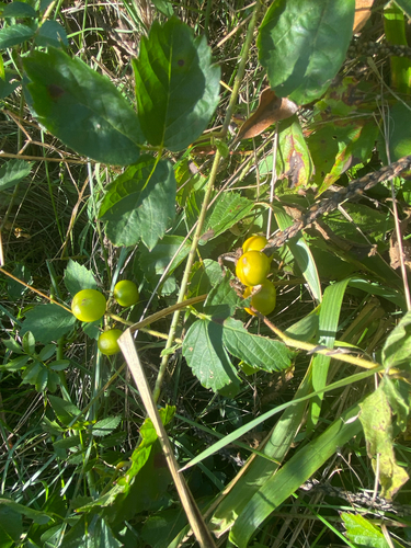
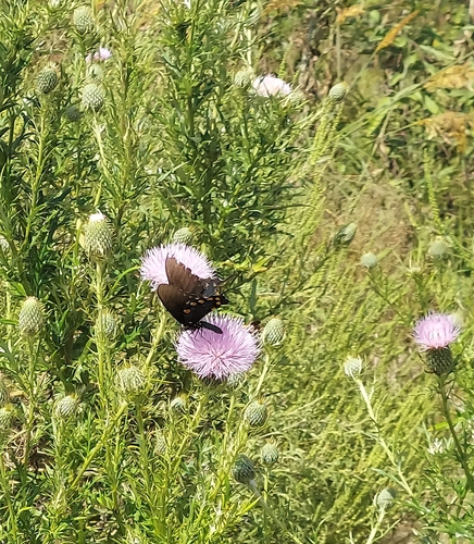
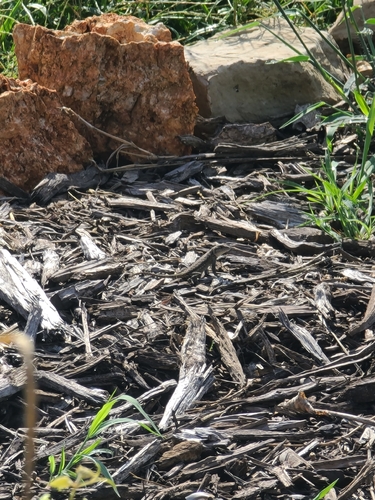
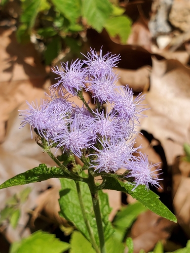
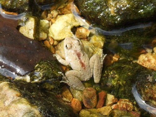
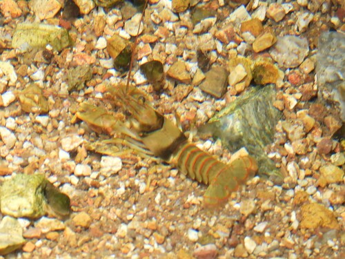
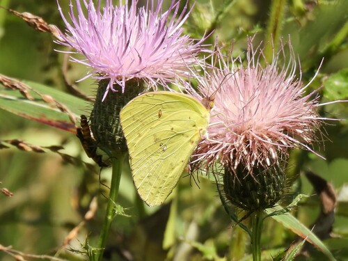
Research-grade observations from iNaturalist (within ~15 mi).
Nearest stream gauge
Live readings from USGS NWIS · measured 2026-09-18 17:00 UTC.
Events
Gallery
Sources
- • Wikipedia
- • US Census Bureau (ACS 5-year estimates)
- • NOAA National Weather Service
- • Wikidata
- • USGS NWIS (water data)
- • GBIF (Global Biodiversity Information Facility)
- • iNaturalist
- • Open-Meteo / sunrise-sunset.org
- • Wikipedia Pageviews API
- • NASA EONET