Browse / United States / Missouri / Park Hills
Park Hills
Missouricity

Park Hills
Total population
8,678
Median home value
$131,300
Bachelor's+
Median income
$52,563
Demographic figures from US Census Bureau · ACS 5-year estimates. Overview below cites Wikipedia and may reference a different year.
City facts
Overview
Park Hills is a city in St. Francois County, Missouri, United States. The population was 8,587 at the 2020 census.
Read more on WikipediaHistory & geography
History
The city was formed in an unusual four-way merger that took place in January 1994, in which the cities of Flat River, Elvins, Esther and the village of Rivermines joined to form the new city of Park Hills. The formerly incorporated village of Fairview Acres had previously merged with Flat River on November 8, 1983. The name of the new city was selected by entries submitted to a committee made up of citizens of the four cities. The name Park Hills was submitted by Mildred Lee, a lifelong resident and a former teacher of Flat River. The inspiration came from its hilly terrain in the foothills of the Ozark Mountains and the many parks that surround the area. Park Hills is located 7 miles northwest of Farmington, Missouri and approximately 65 miles south of St. Louis. It is adjacent to St. Joe State Park, and nearby the state parks of St. Francois, Hawn, Elephant Rocks, Johnson's Shut-Ins, Taum Sauk Mountain, and Washington. Park Hills is home to Mineral Area College, formerly known as Flat River Junior College. The town is located in the Old Lead Belt, formerly a large lead mining district. The Eugene Field School was added to the National Register of Historic Places in 2005.
Geography
Park Hills is located at (37.844538, -90.511038). According to the United States Census Bureau, the city has a total area of , of which is land and is water.
Excerpted from the corresponding Wikipedia article (CC BY-SA).
Demographics & economy
Race & ethnicity
Source: US Census Bureau — American Community Survey, 5-year estimates.
Geography
Coordinates & boundaries from the US Census TIGER/Line shapefiles.
Climate
Air quality
Industrial & pollution facilities
Natural hazard risk
Health (adults)
Age-adjusted prevalence estimates from CDC PLACES (latest release).
Walkability
Amenities nearby
Wildlife & biodiversity
Schools
Largest nearby schools
- FARMINGTON SR. HIGHHigh · FARMINGTON · 1,274 students · 15.5:1 ratio
- NORTH CO. SR. HIGHHigh · BONNE TERRE · 873 students · 16.8:1 ratio
- NORTH COUNTY PRIMARYElementary · BONNE TERRE · 750 students · 13.6:1 ratio
- FARMINGTON MIDDLEMiddle · FARMINGTON · 629 students · 15:1 ratio
- CENTRAL HIGHHigh · PARK HILLS · 629 students · 17.5:1 ratio
- CENTRAL ELEM.Elementary · PARK HILLS · 555 students · 12.9:1 ratio
- LINCOLN INTERMEDIATEMiddle · FARMINGTON · 551 students · 14.5:1 ratio
- WEST ELEM.Elementary · PARK HILLS · 438 students · 13.7:1 ratio
Public K–12 schools within ~10 mi from Urban Institute Education Data Portal (NCES Common Core of Data, 2022).
Earthquake history
Photos
Sights & places nearby
Notable people from here


People born within ~10 km, from Wikidata (CC0). Click any name for their Wikipedia article.
Geography & sun
Elevation, sunrise/sunset and daylight from Open-Meteo. Solar climatology from NASA POWER.
Nearby airports
Public attention
Pageview totals from the Wikimedia Pageviews API.
Books about Park Hills


Search results from Open Library.
Recent natural events nearby
Ground air-quality sensors
Recently spotted species

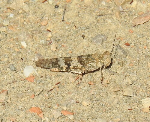
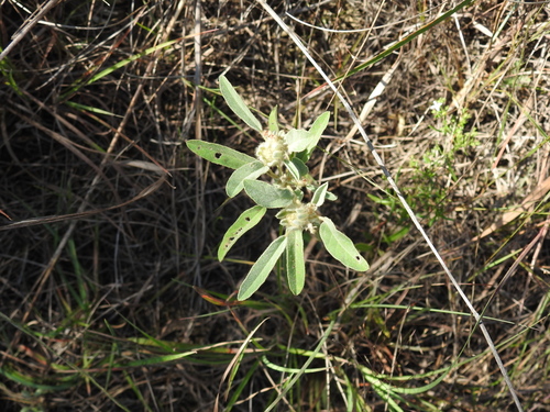
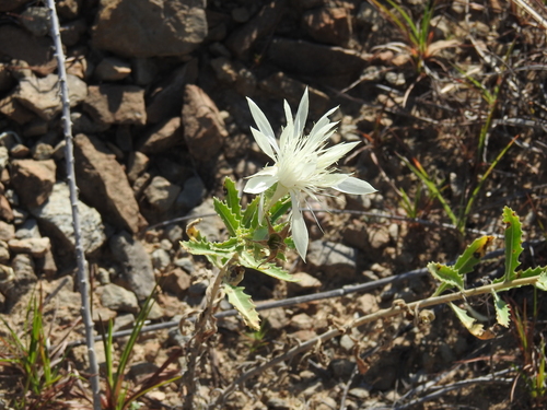

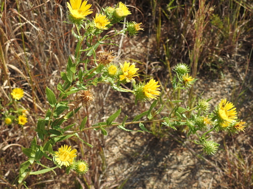
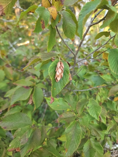
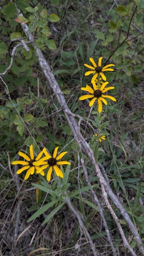
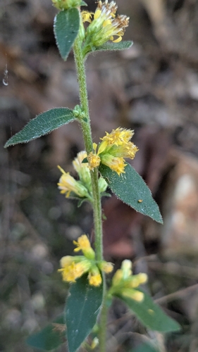
Research-grade observations from iNaturalist (within ~15 mi).
Nearest stream gauge
Events
Gallery
Sources
- • Wikipedia
- • US Census Bureau (ACS 5-year estimates)
- • Wikidata
- • NCES via Urban Institute Education Data Portal
- • iNaturalist
- • CDC PLACES
- • Open-Meteo / sunrise-sunset.org
- • Wikipedia Pageviews API
- • Open Library