Browse / United States / Missouri / Revere
Revere
Missouritown

Revere
Total population
47
Median home value
$0
Bachelor's+
Median income
$56,250
Demographic figures from US Census Bureau · ACS 5-year estimates. Overview below cites Wikipedia and may reference a different year.
City facts
Facts from Wikidata (CC0).
Overview
Revere is a city in Clark County, Missouri, United States. As of the 2020 census, its population was 76. It is part of the Fort Madison–Keokuk, IA-MO Micropolitan Statistical Area.
Read more on WikipediaHistory & geography
History
Founded on October 22, 1887, by the Santa Fe Railroad, Revere was "probably named in honor of Paul Revere." During the period prior to 1900, Revere flourished as an intermediate stop for the railroad. In 1898, Revere was incorporated as a city in the 4th class of Missouri. a weekly newspaper that consisted of five pages of world and local news including advertisements, train schedules and local markets. Circulation closed on July 18, 1901, when Talbott left for law school. Located at the former site of the Revere Methodist Church, Ar-Del Park was dedicated on May 30, 1946, as a memorial to Revere natives John Arnold Wallace and Delmar Brown, who died serving their country during World War II. A large boulder with a plaque dedicated to all Clark County veterans is located in the park. On July 26, 2011, the United States Postal Service announced plans to consider closing the Revere post office as part of a nationwide restructuring plan. On May 9, 2012, it was announced that a new strategy would preserve the nation's smallest post offices, reversing the earlier plan.
Geography
Revere is located in northern Clark County three miles from the Missouri-Iowa state line. The Atchison, Topeka and Santa Fe Railroad passes through the community. According to the United States Census Bureau, the city has a total area of , all land.
Excerpted from the corresponding Wikipedia article (CC BY-SA).
Demographics & economy
Race & ethnicity
Source: US Census Bureau — American Community Survey, 5-year estimates.
Geography
Coordinates & boundaries from the US Census TIGER/Line shapefiles.
Climate
Current forecast
Forecast for Revere, MO from NOAA NWS API.
Air quality
Industrial & pollution facilities
Natural hazard risk
Health (adults)
Age-adjusted prevalence estimates from CDC PLACES (latest release).
Walkability
Amenities nearby
Wildlife & biodiversity
Schools
Largest nearby schools
- BLACK HAWK ELEM.Elementary · KAHOKA · 365 students · 11.8:1 ratio
- CLARK CO. HIGHHigh · KAHOKA · 308 students · 12.8:1 ratio
- CLARK CO. MIDDLEMiddle · KAHOKA · 258 students · 17.2:1 ratio
- EARLY CHILDHOOD CENTEROther · Kahoka · 108 students · 27:1 ratio
Public K–12 schools within ~10 mi from Urban Institute Education Data Portal (NCES Common Core of Data, 2022).
Earthquake history
Photos
Sights & places nearby
Notable people from here


People born within ~10 km, from Wikidata (CC0). Click any name for their Wikipedia article.
Nearby places in Missouri
Geography & sun
Elevation, sunrise/sunset and daylight from Open-Meteo. Solar climatology from NASA POWER.
Nearby airports
Public attention
Pageview totals from the Wikimedia Pageviews API.
Books about Revere

![The United States in Literature [with three long stories] -- Seventh Edition](https://covers.openlibrary.org/b/id/6699609-M.jpg)
Search results from Open Library.
Recent natural events nearby
Ground air-quality sensors
Recently spotted species
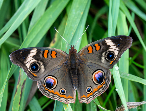
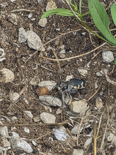
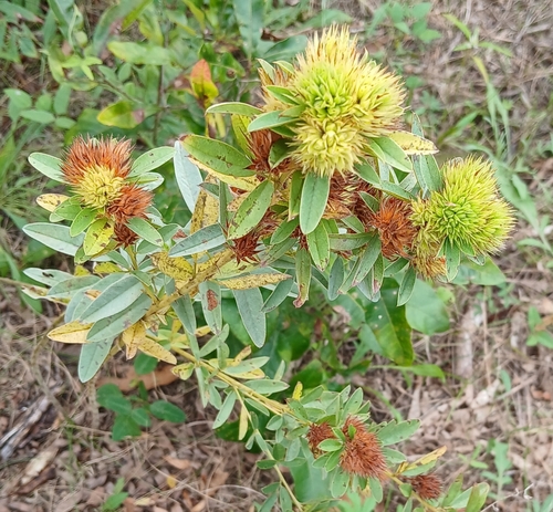
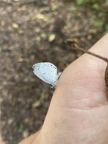
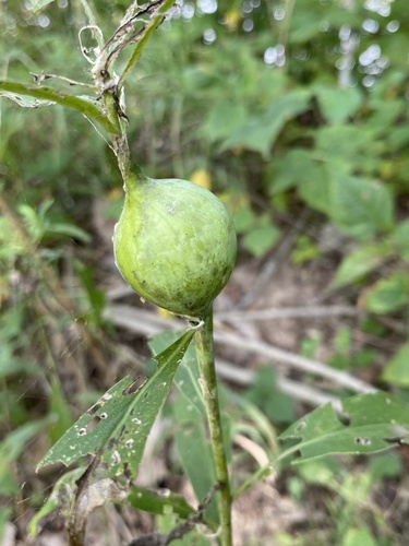
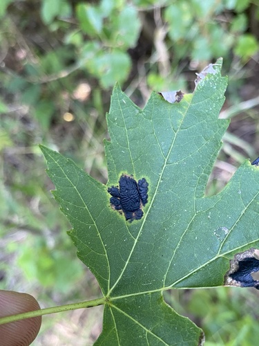
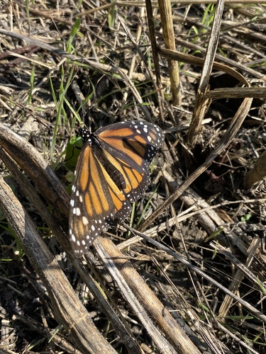
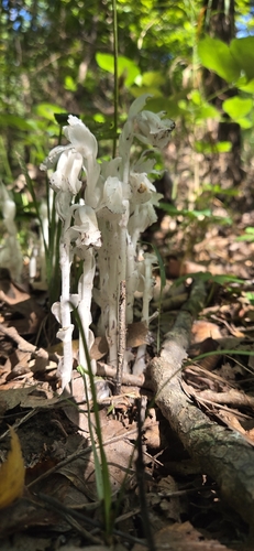
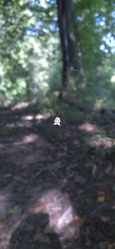
Research-grade observations from iNaturalist (within ~15 mi).
Nearest stream gauge
Events
Gallery
Sources
- • Wikipedia
- • US Census Bureau (ACS 5-year estimates)
- • NOAA National Weather Service
- • Wikidata
- • NCES via Urban Institute Education Data Portal
- • iNaturalist
- • CDC PLACES
- • Open-Meteo / sunrise-sunset.org
- • Wikipedia Pageviews API
- • Open Library