Browse / United States / Missouri / Springfield
Springfield
Missouricity

Springfield
Total population
170,572
Median home value
$207,900
Bachelor's+
Median income
$54,414
Founded
1838
Air quality index
Demographic figures from US Census Bureau · ACS 5-year estimates. Overview below cites Wikipedia and may reference a different year.
- Heat Advisory · ModerateHeat Advisory issued September 16 at 11:05AM CDT until September 19 at 8:00PM CDT by NWS Springfield MO
Source: NOAA National Weather Service.
City facts
Facts from Wikidata (CC0).
Overview
Springfield is the third most populous city in the U.S. state of Missouri and the county seat of Greene County. The city's population was 169,176 at the 2020 census. It is the principal city of the Springfield metropolitan area, which had an estimated population of 487,061 in 2022 and includes the counties of Christian, Dallas, Greene, Polk, and Webster. Springfield is the largest city in the Ozarks region, and sits on the Springfield Plateau, which ranges from nearly level to rolling hills.
Read more on WikipediaHistory & geography
History
Native American peoples had long lived in this area. In the 1830s, the native Osage Nation, the Kickapoo from Indiana, and the Lenape (Delaware) from the mid-Atlantic coast had settled in this general area trying to evade encroachment by European Americans on their lands. The Osage had been the dominant tribe for more than one century in the larger region. Campbell Township was one of the seven original townships organized on March 11, 1833, when Greene County was much larger. An 1876 map shows its boundaries include all the sections in T29N and R21 and 22W. It was bounded by Center Township on the west, Robberson, and Franklin Townships on the north, Taylor Township on the east, and Wilson and Clay Townships on the south. (Later, Campbell was split into Campbell No. 1 Township and Campbell No. 2 Township, then into North Campbell No. 1 Township, North Campbell No. 2 Township, and North Campbell No. 3 Township.) The county seat of Springfield is located in Campbell Township due to the efforts of John Polk Campbell. The township is named after John Polk Campbell, who donated the land for Springfield's public square and platted the town site. In 1835 he deeded 50 acres of land to the legislature for the creation of a county seat. Campbell laid out city streets and lots. The town was incorporated in 1838. In 1878, the town got its nickname as the "Queen City of the Ozarks". By 1861, Springfield's population had grown to approximately 2,000, and it had become an important commercial hub. In the late 1850s, telegraph lines, previously connected only as far as St. Louis, reached Springfield. News from points further west was brought to Springfield overland. It was sent by telegraph to what was then called the New York Associated Press. At the start of the American Civil…
Geography
Springfield is on the Springfield Plateau of the Ozarks region of southwest Missouri. According to the United States Census Bureau, the city has a total area of , of which is land and (0.7%) is water. The city of Springfield is mainly flat with rolling hills and cliffs surrounding its south, east, and north sections. Springfield is on the Springfield Plateau, which reaches from Northwest Arkansas to Central Missouri. Most of the plateau is characterized by forest, pastures and shrub-scrub habitats. Many streams and tributaries, such as the James River, Galloway Creek and Jordan Creek, flow within or near the city. Nearby lakes include Table Rock Lake, Stockton Lake, McDaniel Lake, Fellows Lake, Lake Springfield, and Pomme de Terre Lake. Springfield is near the population center of the United States, about to the east. {{climate chart |Springfied, Missouri |24.2|44.3|2.54 |28.0|49.5|2.40 |36.2|58.9|3.51 |45.6|68.4|4.71 |55.6|76.3|5.56 |64.6|85.2|4.47 |68.8|89.6|3.85 |67.3|89.1|3.59 |59.1|81.4|4.31 |47.3|69.9|3.60 |36.2|57.3|3.56 |27.8|47.0|2.61 |float=left |clear=left |units=imperial |source= It is placed within "Power Class 3" in the Wind Energy Resource Atlas published by a branch of the U.S. Department of Energy; having an average wind speed range of 6.4 to 7.0 miles per hour. Springfield lies in the northern limits of a humid subtropical climate (Cfa), as defined by the Köppen climate classification system. As such, it experiences times of exceptional humidity; especially in late summer. The monthly daily average temperature ranges from in January to in July. On average, there are 40 days with high temperatures of or greater, 2 days of or greater, 15 days where the high temperature fails to rise above freezing, and 1.3 nights of lows at or below per…
Excerpted from the corresponding Wikipedia article (CC BY-SA).
Demographics & economy
Race & ethnicity
Source: US Census Bureau — American Community Survey, 5-year estimates.
Geography
Coordinates & boundaries from the US Census TIGER/Line shapefiles.
Climate
10-year averages from ERA5 reanalysis (Open-Meteo).
Current forecast
Forecast for Springfield, MO from NOAA NWS API.
Air quality
Current readings from Open-Meteo Air Quality API (Copernicus CAMS European reanalysis).
Industrial & pollution facilities
Natural hazard risk
Health (adults)
Age-adjusted prevalence estimates from CDC PLACES (latest release).
Walkability
Amenities nearby
Wildlife & biodiversity
Most-observed species
- Northern CardinalCardinalis cardinalis (Linnaeus, 1758) · Aves9,253
- American CrowCorvus brachyrhynchos C.L.Brehm, 1822 · Aves7,318
- Tufted TitmouseBaeolophus bicolor (Linnaeus, 1766) · Aves6,538
- Carolina ChickadeePoecile carolinensis (Audubon, 1834) · Aves6,265
- American RobinTurdus migratorius Linnaeus, 1766 · Aves6,061
- Blue JayCyanocitta cristata (Linnaeus, 1758) · Aves6,057
- Red-bellied WoodpeckerMelanerpes carolinus (Linnaeus, 1758) · Aves5,501
- Canada Goose (canadensis Group)Branta canadensis (Linnaeus, 1758) · Aves5,289
Citizen-science & research observations from the Global Biodiversity Information Facility (GBIF).
Schools
Largest nearby schools
- KICKAPOO HIGHHigh · SPRINGFIELD · 1,881 students · 19.6:1 ratio
- REPUBLIC HIGHHigh · REPUBLIC · 1,542 students · 17.5:1 ratio
- CENTRAL HIGHHigh · SPRINGFIELD · 1,464 students · 13:1 ratio
- GLENDALE HIGHHigh · SPRINGFIELD · 1,307 students · 15.7:1 ratio
- PARKVIEW HIGHHigh · SPRINGFIELD · 1,234 students · 14.9:1 ratio
- HILLCREST HIGHHigh · SPRINGFIELD · 1,017 students · 16.9:1 ratio
- CHEROKEE MIDDLEMiddle · SPRINGFIELD · 758 students · 15.8:1 ratio
- PERSHING MIDDLEMiddle · SPRINGFIELD · 704 students · 16:1 ratio
Public K–12 schools within ~10 mi from Urban Institute Education Data Portal (NCES Common Core of Data, 2022).
Earthquake history
Most recent
- M 2.56 — 2025-04-233 km E of Hartville, Missouri
- M 2.51 — 2024-01-0413 km E of South Lead Hill, Arkansas
- M 2.53 — 2018-04-293 km WNW of Evergreen, Missouri
- M 2.52 — 2017-06-216 km N of Bergman, Arkansas
- M 2.89 — 2017-06-166 km N of Bergman, Arkansas
- M 3.6 — 2017-06-116 km NNE of Bergman, Arkansas
Events from the USGS Earthquake Catalog (global) (FDSN Event Web Service).
Photos
Sights & places nearby
Notable people from here


People born within ~10 km, from Wikidata (CC0). Click any name for their Wikipedia article.
Nearby places in Missouri
- Republic6.9 mi away
- Fremont Hills9.2 mi away · pop. 1,574
- Strafford10.9 mi away
- Ozark11.8 mi away · pop. 21,284
- Rogersville13.2 mi away
- Clever14.9 mi away · pop. 3,030
- Fair Grove15.2 mi away · pop. 1,717
- Ash Grove18 mi away · pop. 1,333
- Pleasant Hope18.8 mi away
- Fordland19.5 mi away · pop. 594
- Walnut Grove20.5 mi away
- Morrisville21.1 mi away
Geography & sun
Elevation, sunrise/sunset and daylight from Open-Meteo. Solar climatology from NASA POWER.
Nearby airports
Public attention
Pageview totals from the Wikimedia Pageviews API.
Books about Springfield




Search results from Open Library.
Recent natural events nearby
- Wildfire BISON, Osage, OklahomaWildfires · 2026-08-21 · 169 mi
- Wildfire B.B, Osage, OklahomaWildfires · 2026-08-06 · 176 mi
- Wildfire WRIGHT, Hughes, OklahomaWildfires · 2026-08-29 · 208 mi
- Wildfire Snake Mountain, Pushmataha, OklahomaWildfires · 2026-08-14 · 215 mi
- Wildfire Alexander Trail Fire, Pushmataha, OklahomaWildfires · 2026-08-30 · 219 mi
- Wildfire Alexander Trail, Pushmataha, OklahomaWildfires · 2026-08-30 · 219 mi
- Wildfire Buck Creek, Pushmataha, OklahomaWildfires · 2026-08-25 · 230 mi
- Wildfire Tram Trail, Pushmataha, OklahomaWildfires · 2026-09-14 · 233 mi
Wildfires, storms and other events from NASA EONET (last 12 months, within 250 mi).
Ground air-quality sensors
Recently spotted species
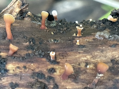
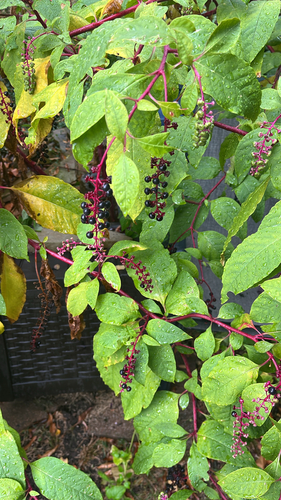
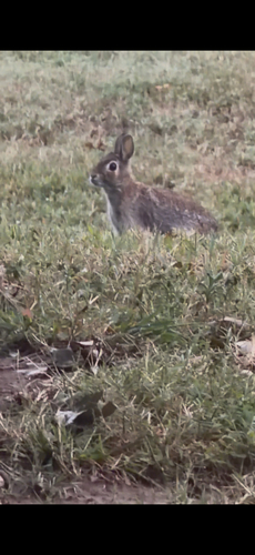
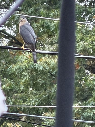
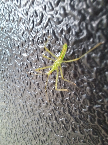
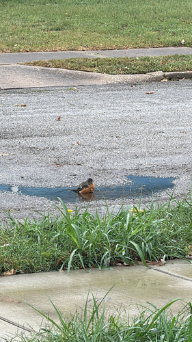
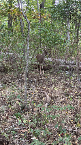
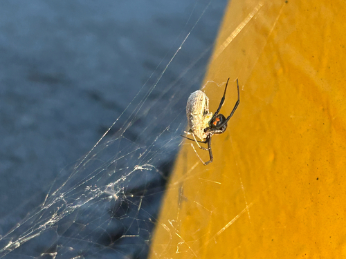
Research-grade observations from iNaturalist (within ~15 mi).
Nearest stream gauge
Live readings from USGS NWIS · measured 2026-09-17 01:30 UTC.
Events
Gallery
Sources
- • Wikipedia
- • US Census Bureau (ACS 5-year estimates)
- • Open-Meteo (ERA5 reanalysis)
- • NOAA National Weather Service
- • Wikidata
- • Open-Meteo Air Quality (CAMS)
- • USGS Earthquake Catalog (global feed)
- • USGS NWIS (water data)
- • NCES via Urban Institute Education Data Portal
- • GBIF (Global Biodiversity Information Facility)
- • iNaturalist
- • CDC PLACES
- • Open-Elevation
- • Open-Meteo / sunrise-sunset.org
- • Wikipedia Pageviews API
- • Open Library
- • NASA EONET
Notes: Climate data unavailable; Nearby POIs unavailable; Photos unavailable; Air quality unavailable; Earthquake data unavailable; Walkability unavailable; EPA pollution data unavailable; Livability counts unavailable; FEMA NRI data unavailable