Browse / United States / Mississippi / Shuqualak
Shuqualak
Mississippitown

Shuqualak
Total population
238
Median home value
$81,900
Bachelor's+
Median income
$14,393
Demographic figures from US Census Bureau · ACS 5-year estimates. Overview below cites Wikipedia and may reference a different year.
City facts
Facts from Wikidata (CC0).
Overview
Shuqualak is a town in Noxubee County, Mississippi, United States. As of the 2020 census, the population was 399. That is down from 501 from the 2010 census. Three locations in Shuqualak, including most of the downtown area, are included on the National Register of Historic Places.
Read more on WikipediaHistory & geography
History
Shaqualak was settled after the Treaty of Dancing Rabbit Creek was signed in 1830. is a name derived from the Choctaw language purported to mean 'beads'. A post office was established in 1855, and the town was incorporated in 1859. Shuqualak was a stop on the Mobile and Ohio Railroad, built in the 1850s. There was a devastating fire in 1885 that burned much of downtown.
Geography
Shuqualak is located on U.S. Route 45, midway between Columbus and Meridian. An auxiliary landing field for Columbus Air Force Base is located south of the town. The name of the auxiliary landing field is Gunshy.
Excerpted from the corresponding Wikipedia article (CC BY-SA).
Demographics & economy
Race & ethnicity
Source: US Census Bureau — American Community Survey, 5-year estimates.
Geography
Coordinates & boundaries from the US Census TIGER/Line shapefiles.
Climate
Current forecast
Forecast for Shuqualak, MS from NOAA NWS API.
Air quality
Industrial & pollution facilities
Natural hazard risk
Health (adults)
Walkability
Amenities nearby
Wildlife & biodiversity
Schools
Earthquake history
Photos
Sights & places nearby
Notable people from here
People born within ~10 km, from Wikidata (CC0). Click any name for their Wikipedia article.
Geography & sun
Elevation, sunrise/sunset and daylight from Open-Meteo. Solar climatology from NASA POWER.
Nearby airports
Public attention
Pageview totals from the Wikimedia Pageviews API.
Books about Shuqualak

Search results from Open Library.
Recent natural events nearby
- Wildfire RAY COAKER, Washington, AlabamaWildfires · 2026-09-09 · 112 mi
- Wildfire Merit Creek, Greene, MississippiWildfires · 2026-09-23 · 134 mi
- Wildfire Jackson - Hwy 90, Jackson, MississippiWildfires · 2026-08-16 · 177 mi
- Wildfire Round Prarie, Morehouse, LouisianaWildfires · 2026-09-20 · 199 mi
- Wildfire Pine Tree Rd, Union, ArkansasWildfires · 2026-08-20 · 228 mi
- Wildfire Bunker Fire, Calhoun, ArkansasWildfires · 2026-09-15 · 236 mi
- Wildfire Bunker Fire, Calhoun, ArkansasWildfires · 2026-09-14 · 236 mi
Wildfires, storms and other events from NASA EONET (last 12 months, within 250 mi).
Ground air-quality sensors
Recently spotted species
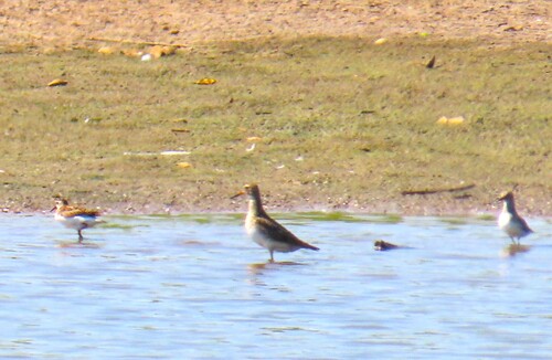
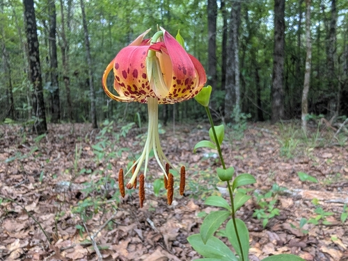
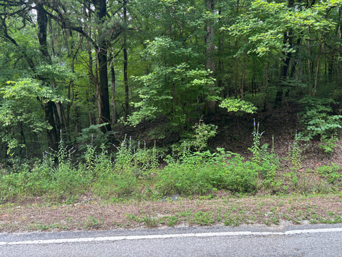
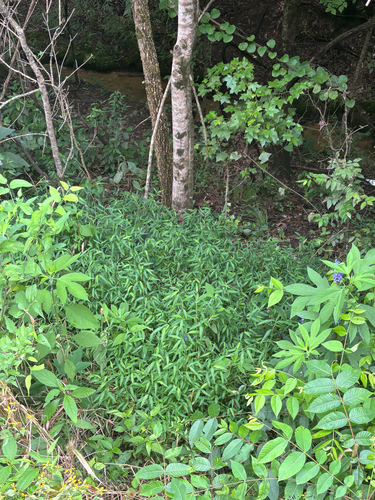
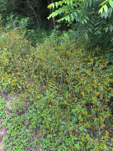
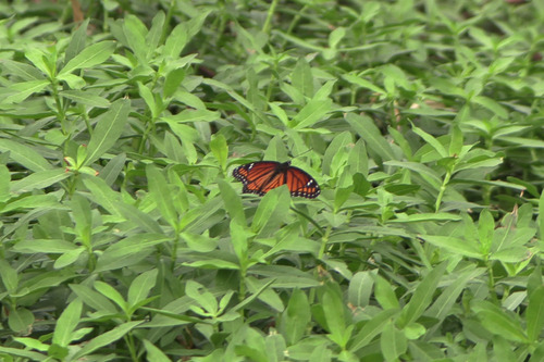
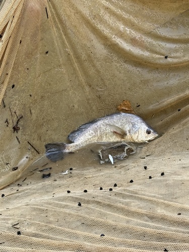
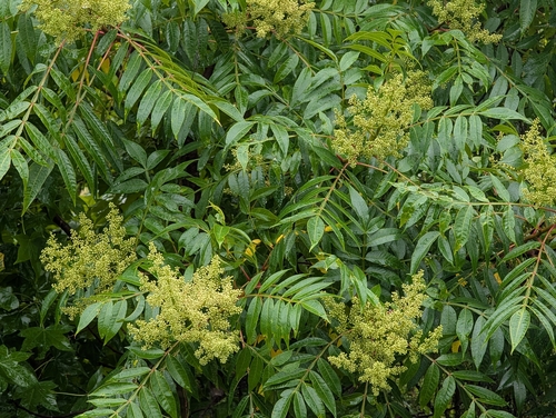
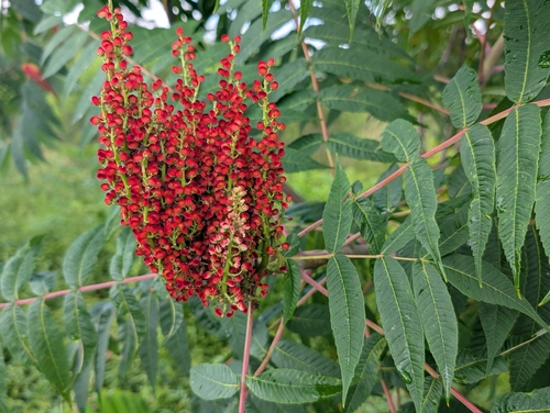
Research-grade observations from iNaturalist (within ~15 mi).
Nearest stream gauge
Live readings from USGS NWIS · measured 2026-09-26 17:00 UTC.
Events
Gallery
Sources
- • Wikipedia
- • US Census Bureau (ACS 5-year estimates)
- • NOAA National Weather Service
- • Wikidata
- • USGS NWIS (water data)
- • iNaturalist
- • Open-Meteo / sunrise-sunset.org
- • Wikipedia Pageviews API
- • Open Library
- • NASA EONET