Browse / United States / Mississippi / Terry
Terry
Mississippitown

Terry
Total population
1,620
Median home value
$162,100
Bachelor's+
Median income
$47,734
Founded
1811
Demographic figures from US Census Bureau · ACS 5-year estimates. Overview below cites Wikipedia and may reference a different year.
City facts
Facts from Wikidata (CC0).
Overview
Terry is a town in Hinds County, Mississippi, United States. As of the 2020 census, Terry had a population of 1,304. It is located along Interstate 55, about 15 miles (24 km) southwest of Jackson and located in Supervisors District Five of Hinds County. The town is part of the Jackson Metropolitan Statistical Area.
Read more on WikipediaHistory & geography
History
The town of Terry, originally known as Dry Grove, changed its name in honor of William D. Terry, whose land the town was built on. This information comes from the bronze plaque in the town's center at Utica and Cunningham streets. The area was established in 1811 by settlers from Virginia. In 1867, the town of Terry was established as a depot when the railroad was built through the area. The town's community burying ground, Terry Cemetery, lies just west of town near Interstate 55. Terry donated sites for churches, a school, and a cemetery, and that he was buried there on July 13, 1882, with other members of the Terry family. Published gravestone transcriptions record burials from the mid-19th century onward. A separate, older family burying ground known as the William S. Terry Family Cemetery, recorded near County Line Church with a first known grave in 1834, was reported as no longer extant by 2005; later generations of that family were buried in the town cemetery. For a number of years, Terry was the home of Mississippi governor Albert G. Brown.
Geography
Terry is in southeastern Hinds County and is bordered to the north by the city of Byram. Interstate 55 passes through the west side of the town, with access from Exit 78. I-55 leads north to Jackson and south to Crystal Springs. According to the United States Census Bureau, the town of Terry has a total area of , of which , or 0.50%, are water. The town is drained to the east by Rhodes Creek and Vaughn Creek, tributaries of the Pearl River.
Excerpted from the corresponding Wikipedia article (CC BY-SA).
Demographics & economy
Race & ethnicity
Source: US Census Bureau — American Community Survey, 5-year estimates.
Geography
Coordinates & boundaries from the US Census TIGER/Line shapefiles.
Climate
Current forecast
Forecast for Terry, MS from NOAA NWS API.
Air quality
Industrial & pollution facilities
Natural hazard risk
Health (adults)
Age-adjusted prevalence estimates from CDC PLACES (latest release).
Walkability
Amenities nearby
Wildlife & biodiversity
Most-observed species
- Northern CardinalCardinalis cardinalis (Linnaeus, 1758) · Aves132
- Tufted TitmouseBaeolophus bicolor (Linnaeus, 1766) · Aves120
- Turkey VultureCathartes aura (Linnaeus, 1758) · Aves115
- American CrowCorvus brachyrhynchos C.L.Brehm, 1822 · Aves115
- Carolina WrenThryothorus ludovicianus (Latham, 1790) · Aves109
- Blue JayCyanocitta cristata (Linnaeus, 1758) · Aves105
- Northern MockingbirdMimus polyglottos (Linnaeus, 1758) · Aves96
- Carolina ChickadeePoecile carolinensis (Audubon, 1834) · Aves95
Citizen-science & research observations from the Global Biodiversity Information Facility (GBIF).
Schools
Largest nearby schools
- TERRY HIGH SCHOOLHigh · Terry · 1,098 students · 15.5:1 ratio
- BYRAM MIDDLE SCHOOLMiddle · Terry · 772 students · 15.4:1 ratio
- GARY ROAD INTERMEDIATE SCHOOLElementary · Jackson · 703 students · 15:1 ratio
- GARY ROAD ELEMENTARYElementary · Jackson · 672 students · 12.9:1 ratio
Public K–12 schools within ~10 mi from Urban Institute Education Data Portal (NCES Common Core of Data, 2022).
Earthquake history
Most recent
- M 3 — 2025-03-155 km NNE of Magee, Mississippi
- M 2.5 — 2024-11-2812 km SE of Canton, Mississippi
- M 2.8 — 2019-08-09Mississippi
- M 2.6 — 2015-08-179 km N of Madison, Mississippi
- M 3.2 — 2015-06-296 km SSW of Canton, Mississippi
- M 3 — 2015-05-038 km WSW of Canton, Mississippi
Events from the USGS Earthquake Catalog (global) (FDSN Event Web Service).
Photos
Sights & places nearby
Notable people from here

People born within ~10 km, from Wikidata (CC0). Click any name for their Wikipedia article.
Nearby places in Mississippi
Geography & sun
Elevation, sunrise/sunset and daylight from Open-Meteo. Solar climatology from NASA POWER.
Nearby airports
Public attention
Pageview totals from the Wikimedia Pageviews API.
Books about Terry





Search results from Open Library.
Recent natural events nearby
- Wildfire RAY COAKER, Washington, AlabamaWildfires · 2026-09-09 · 126 mi
- Wildfire Pine Tree Rd, Union, ArkansasWildfires · 2026-08-20 · 148 mi
- Wildfire Jackson - Hwy 90, Jackson, MississippiWildfires · 2026-08-16 · 159 mi
- Wildfire Bunker Fire, Calhoun, ArkansasWildfires · 2026-09-15 · 167 mi
- Wildfire Bunker Fire, Calhoun, ArkansasWildfires · 2026-09-14 · 167 mi
- Prescribed Fire RX CALV BU 104-108, Vernon, LouisianaWildfires · 2026-09-16 · 187 mi
Wildfires, storms and other events from NASA EONET (last 12 months, within 250 mi).
Ground air-quality sensors
Recently spotted species
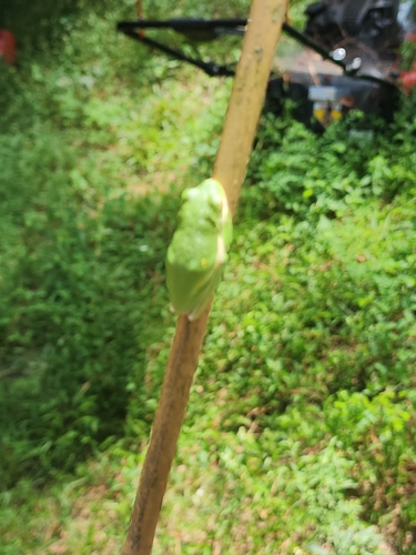
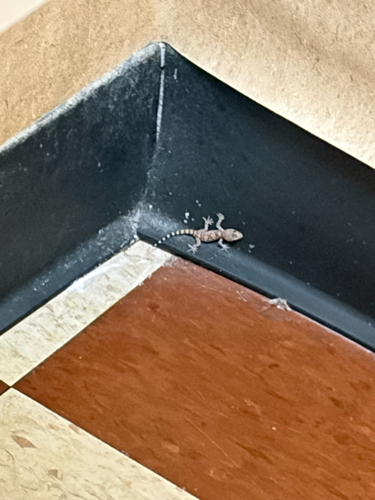
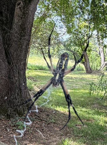
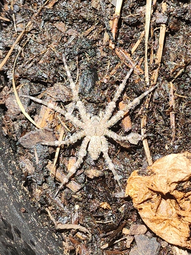

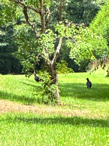
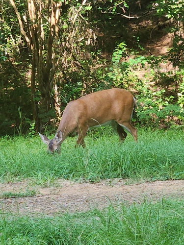
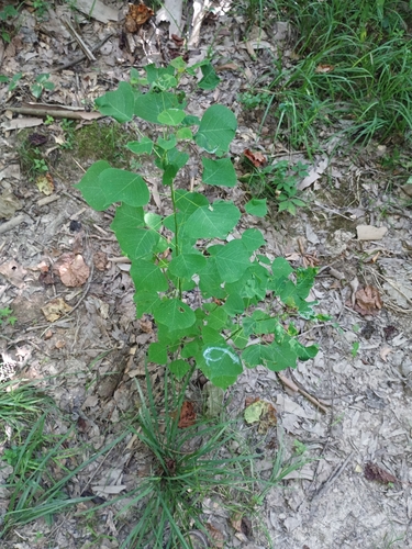
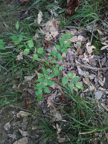
Research-grade observations from iNaturalist (within ~15 mi).
Nearest stream gauge
Events
Gallery
Sources
- • Wikipedia
- • US Census Bureau (ACS 5-year estimates)
- • NOAA National Weather Service
- • Wikidata
- • USGS Earthquake Catalog (global feed)
- • NCES via Urban Institute Education Data Portal
- • GBIF (Global Biodiversity Information Facility)
- • iNaturalist
- • CDC PLACES
- • Open-Meteo / sunrise-sunset.org
- • Wikipedia Pageviews API
- • Open Library
- • NASA EONET