Browse / United States / Montana / Basin
Basin
MontanaCDP

Basin
Total population
352
Median home value
$227,700
Bachelor's+
Median income
$46,597
Air quality index
Demographic figures from US Census Bureau · ACS 5-year estimates. Overview below cites Wikipedia and may reference a different year.
City facts
Facts from Wikidata (CC0).
Overview
Basin is an unincorporated community and census-designated place (CDP) in Jefferson County, Montana, United States. It lies approximately 10 miles (16 km) southeast of the Continental Divide in a high narrow canyon along Interstate 15 about halfway between Butte and Helena. Basin Creek flows roughly north to south through Basin and enters the Boulder River on the settlement's south side. As of the 2020 census, Basin had a population of 199.
Read more on WikipediaHistory & geography
History
Archeologists think it likely that the first people to live in Montana crossed from Asia to North America over the Bering Land Bridge that existed during the last major Ice Age about 12,000 years ago. Because the middle of the continent was covered with sheets of ice, people who migrated south did so on trails along the edges of glaciers melted by seasonal warming. One such trail, called the Great North Trail, is thought to have followed the Rocky Mountain Front into Montana, passing close to Helena, north of Basin, and continuing into the east-central part of the state. Evidence of these early Paleo-Indians or Clovis people has been found at three sites, one of them the McHaffie site near Clancy about north of Basin. The age of the Clancy artifacts is estimated to be 10,000 years. The Clovis people are thought to have disappeared in about 4,000 to 5,000 BCE when the Montana climate became more dry and would not support the animal populations the Clovis needed to survive. About 2,000 years ago, a new prehistoric people known as the Late Hunters appeared in Montana, thriving on a bison (buffalo) population living in open grassy areas on the plains and in river valleys. The earliest tribes are thought to have been the Kootenai, who stayed west of the Continental Divide, and the Flathead (Salish), and Pend d'Oreilles, who ventured east of the mountains into and east of the Three Forks country, southeast of Basin. In the 17th century, the Crow entered Montana from the east and the Shoshone from the south. Pressed by other tribes retreating west from white European settlers, the Blackfeet moved into Montana around 1730. Acquiring horses and firearms, and numbering about 15,000, they formed alliances with other incoming tribes, the Assiniboine and the…
Excerpted from the corresponding Wikipedia article (CC BY-SA).
Demographics & economy
Race & ethnicity
Source: US Census Bureau — American Community Survey, 5-year estimates.
Geography
Coordinates & boundaries from the US Census TIGER/Line shapefiles.
Climate
Current forecast
Forecast for Basin, MT from NOAA NWS API.
Air quality
Current readings from Open-Meteo Air Quality API (Copernicus CAMS European reanalysis).
Industrial & pollution facilities
Natural hazard risk
Health (adults)
Age-adjusted prevalence estimates from CDC PLACES (latest release).
Walkability
Amenities nearby
Wildlife & biodiversity
Most-observed species
- Clark's NutcrackerNucifraga columbiana (A.Wilson, 1811) · Aves1,410
- American RobinTurdus migratorius Linnaeus, 1766 · Aves1,125
- Pine SiskinSpinus pinus (A.Wilson, 1810) · Aves880
- Black-capped ChickadeePoecile atricapillus (Linnaeus, 1766) · Aves848
- Eurasian Collared-DoveStreptopelia decaocto (Frivaldszky, 1838) · Aves799
- Mountain BluebirdSialia currucoides (Bechstein, 1798) · Aves680
- American GoldfinchSpinus tristis (Linnaeus, 1758) · Aves628
- Northern FlickerColaptes auratus (Linnaeus, 1758) · Aves528
Citizen-science & research observations from the Global Biodiversity Information Facility (GBIF).
Schools
Earthquake history
Most recent
- M 2.9 — 2026-06-0614 km NNE of Twin Bridges, Montana
- M 3 — 2026-04-2716 km ESE of Butte, Montana
- M 2.8 — 2026-04-2619 km S of Lincoln, Montana
- M 2.5 — 2026-04-1416 km ESE of Harrison, Montana
- M 3.2 — 2025-12-0912 km NNW of Avon, Montana
- M 2.7 — 2025-07-2618 km W of Whitehall, Montana
Events from the USGS Earthquake Catalog (global) (FDSN Event Web Service).
Photos
Sights & places nearby
Notable people from here
Nearby places in Montana
Geography & sun
Elevation, sunrise/sunset and daylight from Open-Meteo. Solar climatology from NASA POWER.
Nearby airports
Public attention
Pageview totals from the Wikimedia Pageviews API.
Books about Basin

Search results from Open Library.
Recent natural events nearby
- Prescribed Fire Bonanza Ridge RX, Broadwater, MontanaWildfires · 2026-09-24 · 25 mi
- Prescribed Fire Kelly Gulch RX, Lewis and Clark, MontanaWildfires · 2026-09-22 · 41 mi
- Wildfire Bobcat Lakes, Beaverhead, MontanaWildfires · 2026-07-31 · 63 mi
- Wildfire Sand Creek, Beaverhead, MontanaWildfires · 2026-08-01 · 71 mi
- Wildfire Black Bear, Ravalli, MontanaWildfires · 2026-08-01 · 77 mi
- Wildfire Nature Grove, Ravalli, MontanaWildfires · 2026-08-23 · 79 mi
- Wildfire Ant Park, Meagher, MontanaWildfires · 2026-07-31 · 84 mi
- Wildfire Camp Creek, Powell, MontanaWildfires · 2026-08-21 · 88 mi
Wildfires, storms and other events from NASA EONET (last 12 months, within 250 mi).
Ground air-quality sensors
Recently spotted species
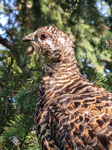
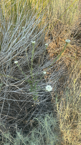
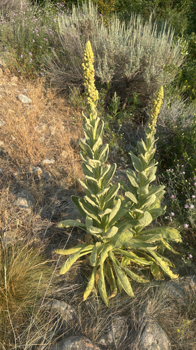
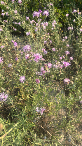
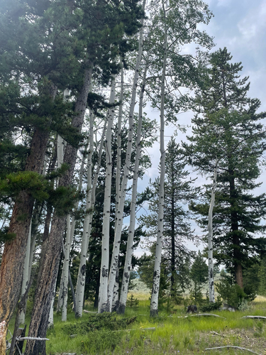
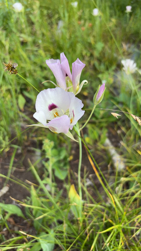
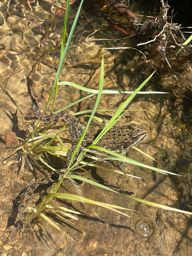
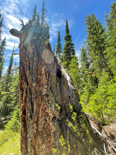
Research-grade observations from iNaturalist (within ~15 mi).
Nearest stream gauge
Events
Gallery
Sources
- • Wikipedia
- • US Census Bureau (ACS 5-year estimates)
- • NOAA National Weather Service
- • Wikidata
- • Open-Meteo Air Quality (CAMS)
- • USGS Earthquake Catalog (global feed)
- • GBIF (Global Biodiversity Information Facility)
- • iNaturalist
- • CDC PLACES
- • Open-Meteo / sunrise-sunset.org
- • Wikipedia Pageviews API
- • Open Library
- • NASA EONET