Browse / United States / Montana / Broadus
Broadus
Montanatown

Broadus
Total population
459
Median home value
$171,400
Bachelor's+
Median income
$60,000
Demographic figures from US Census Bureau · ACS 5-year estimates. Overview below cites Wikipedia and may reference a different year.
City facts
Facts from Wikidata (CC0).
Overview
Broadus is a town in and the county seat of Powder River County, Montana, United States. The population was 456 at the 2020 census.
Read more on WikipediaHistory & geography
History
The Powder River Battles, part of the Powder River Expedition of 1865, were fought near the present-day town from September 1–15, 1865, by the U.S. Army against Sioux, Cheyenne, and Arapaho warriors. On March 17, 1876, the Battle of Powder River occurred about southwest of present-day Broadus, and on June 13, 1876, six companies of the 7th Cavalry led by Major Marcus Reno marched along the Powder River to within north of the town's present location before turning west toward the Little Bighorn. The Broadus post office was established in 1900, and named after the Broaddus family, early settlers in the area. When the town's streets were being planned, they were made wide enough for a horse-drawn carriage to turn around. When Belle Creek Oil Field opened in the late 1960s, the economy of Broadus boomed. Oil and gas production continue to be important to the local economy.
Geography
According to the United States Census Bureau, the town has a total area of , all land. According to the Köppen Climate Classification system, Broadus has a semi-arid climate, abbreviated "BSk" on climate maps. Broadus has a cold semi-arid climate due to its very dry winters. There are significant diurnal temperature variations throughout the year, and strong continental seasonal swings between the warm to hot summers and the cold winters.
Excerpted from the corresponding Wikipedia article (CC BY-SA).
Demographics & economy
Race & ethnicity
Source: US Census Bureau — American Community Survey, 5-year estimates.
Geography
Coordinates & boundaries from the US Census TIGER/Line shapefiles.
Climate
Current forecast
Forecast for Broadus, MT from NOAA NWS API.
Air quality
Industrial & pollution facilities
Natural hazard risk
Health (adults)
Age-adjusted prevalence estimates from CDC PLACES (latest release).
Walkability
Amenities nearby
Wildlife & biodiversity
Schools
Largest nearby schools
- Broadus SchoolElementary · Broadus · 112 students · 14:1 ratio
- Powder River Co Dist HighHigh · Broadus · 74 students · 9.3:1 ratio
- Broadus 7-8Middle · Broadus · 38 students · 12.7:1 ratio
Public K–12 schools within ~10 mi from Urban Institute Education Data Portal (NCES Common Core of Data, 2022).
Earthquake history
Photos
Sights & places nearby
Notable people from here

People born within ~10 km, from Wikidata (CC0). Click any name for their Wikipedia article.
Nearby places in Montana
Geography & sun
Elevation, sunrise/sunset and daylight from Open-Meteo. Solar climatology from NASA POWER.
Nearby airports
Public attention
Pageview totals from the Wikimedia Pageviews API.
Books about Broadus
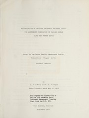

Search results from Open Library.
Recent natural events nearby
- Wildfire Harris, Rosebud, MontanaWildfires · 2026-08-09 · 62 mi
- Wildfire Snow, Custer, MontanaWildfires · 2026-09-02 · 73 mi
- Wildfire Montgomery Draw, Campbell, WyomingWildfires · 2026-08-06 · 78 mi
- Incident Complex Rattlesnake Complex, Prairie, MontanaWildfires · 2026-09-04 · 82 mi
- Wildfire Ayers Pond, Prairie, MontanaWildfires · 2026-09-03 · 88 mi
- Wildfire PK, Sheridan, WyomingWildfires · 2026-10-09 · 100 mi
- Wildfire Sarpy, Big Horn, MontanaWildfires · 2026-08-17 · 102 mi
- Wildfire Davis Coulee, Big Horn, MontanaWildfires · 2026-09-14 · 108 mi
Wildfires, storms and other events from NASA EONET (last 12 months, within 250 mi).
Ground air-quality sensors
Recently spotted species
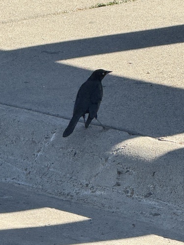
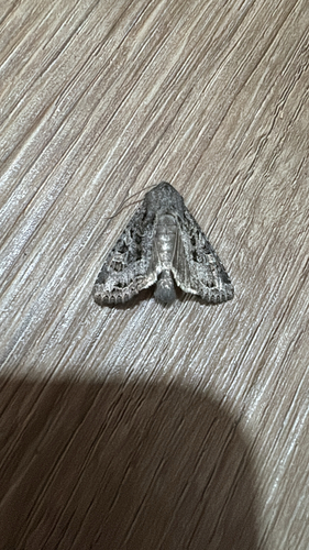
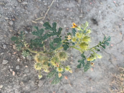
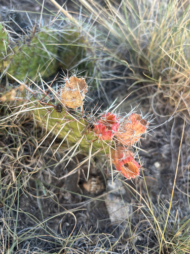
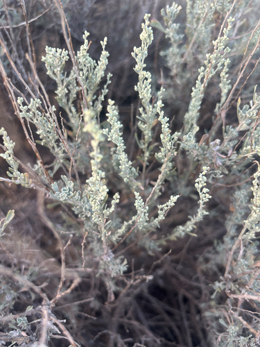
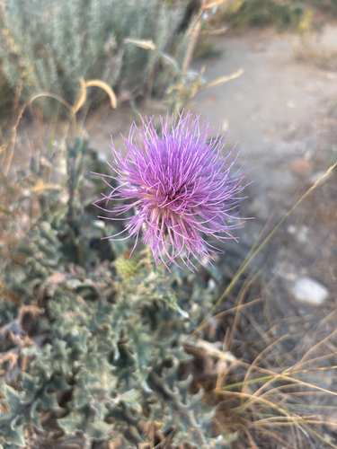
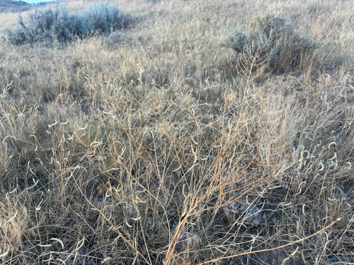
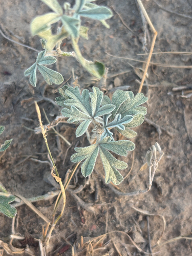
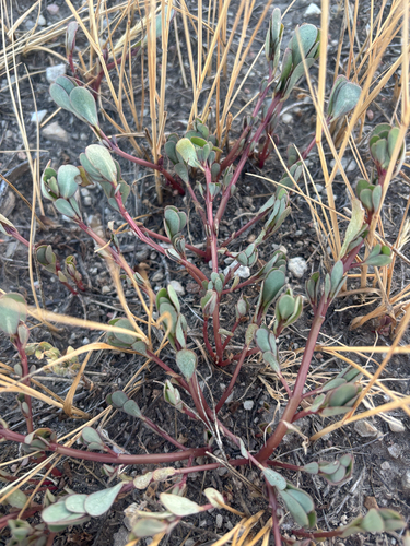
Research-grade observations from iNaturalist (within ~15 mi).
Nearest stream gauge
Live readings from USGS NWIS · measured 2026-10-14 11:45 UTC.
Events
Gallery
Sources
- • Wikipedia
- • US Census Bureau (ACS 5-year estimates)
- • NOAA National Weather Service
- • Wikidata
- • USGS NWIS (water data)
- • NCES via Urban Institute Education Data Portal
- • iNaturalist
- • CDC PLACES
- • Open-Meteo / sunrise-sunset.org
- • Wikipedia Pageviews API
- • Open Library
- • NASA EONET