Browse / United States / Montana / Colstrip
Colstrip
Montanacity

Colstrip
Total population
2,101
Median home value
$194,900
Bachelor's+
Median income
$82,500
Founded
1998
Demographic figures from US Census Bureau · ACS 5-year estimates. Overview below cites Wikipedia and may reference a different year.
City facts
Facts from Wikidata (CC0).
Overview
Colstrip is a city in Rosebud County, Montana, United States. The population was 2,096 at the 2020 census.
Read more on WikipediaHistory & geography
History
Colstrip was established by the Northern Pacific Railway in 1924 as a company town to provide coal for their steam locomotives. The mining at Rosebud Mine, two miles south of the town, is open pit strip mining, where draglines remove soil above the layer of bituminous coal from the Fort Union Formation. During The Second World War, the Colstrip mine was identified as strategically important because it supplied coal for the Northern Pacific Railway steam locomotives hauling military equipment for the war effort. The mine was guarded from sabotage, and the employees were not allowed to quit their jobs. In 1958, the railroad switched to using diesel locomotives and the Colstrip mine was shut down. In 1959, Montana Power Company purchased the rights to the mine and the town. It resumed mining operations in the 1970s, with plans to build coal-fired electrical plants. The Rosebud Mine opened in 1968. The power plants were built in the 1970s and 1980s by a collection of contractors including Bechtel. During this construction period, Colstrip was a boomtown, with a large increase in population. Plants 1 and 2 became operational in 1975 and 1976, and plants 3 and 4 became operational in 1984 and 1986. In 1974, construction of Colstrip's Castle Rock Lake (formerly called a surge pond) was completed. The Colstrip plants produce electricity from coal using steam. The water for the steam is pumped in an underground pipe from the Yellowstone River and stored in the lake. The lake is stocked with fish and is the home for a wide variety of wildlife. In 1990, the Colstrip Energy Limited Project began commercial operations. Located six miles (10 km) north of Colstrip, this experimental electricity production facility is owned by Rosebud Energy Corp., a partnership that…
Geography
The Powder River Basin contains the 25,000-acre Rosebud Mine, a strip mine a few miles south of Colstrip, and the Northern Cheyenne Indian Reservation. Bituminous coal lies in the Fort Union Formation. According to the United States Census Bureau, the city has a total area of , all land. There are 30 city parks and 300 acres of green space owned by the city. South of town , is Deer Medicine Rocks, a National Historic Landmark. These sandstone cliffs are covered with petroglyphs and pictographs. Hills covered in sandstone formations are typical of this area. The topography in the county is mostly rolling with small hills. Deer and pronghorn are plentiful.
Excerpted from the corresponding Wikipedia article (CC BY-SA).
Demographics & economy
Race & ethnicity
Source: US Census Bureau — American Community Survey, 5-year estimates.
Geography
Coordinates & boundaries from the US Census TIGER/Line shapefiles.
Climate
Current forecast
Forecast for Colstrip, MT from NOAA NWS API.
Air quality
Industrial & pollution facilities
Natural hazard risk
Health (adults)
Walkability
Amenities nearby
Wildlife & biodiversity
Most-observed species
- Canada Goose (canadensis Group)Branta canadensis (Linnaeus, 1758) · Aves67
- American RobinTurdus migratorius Linnaeus, 1766 · Aves66
- MallardAnas platyrhynchos Linnaeus, 1758 · Aves59
- Common GrackleQuiscalus quiscula (Linnaeus, 1758) · Aves52
- Black-capped ChickadeePoecile atricapillus (Linnaeus, 1766) · Aves48
- American CootFulica americana Gmelin, 1789 · Aves43
- Northern FlickerColaptes auratus (Linnaeus, 1758) · Aves40
- Red-winged BlackbirdAgelaius phoeniceus (Linnaeus, 1766) · Aves40
Citizen-science & research observations from the Global Biodiversity Information Facility (GBIF).
Schools
Earthquake history
Most recent
- M 3 — 2026-06-0218 km WSW of Colstrip, Montana
- M 3.5 — 2026-05-2930 km NNE of Ranchester, Wyoming
- M 3.5 — 2026-04-2831 km NE of Ranchester, Wyoming
- M 2.6 — 2026-04-2729 km NE of Ranchester, Wyoming
- M 2.6 — 2026-03-3026 km ENE of Ranchester, Wyoming
- M 3.4 — 2026-03-2733 km NE of Ranchester, Wyoming
Events from the USGS Earthquake Catalog (global) (FDSN Event Web Service).
Photos
Sights & places nearby
Notable people from here
Nearby places in Montana
Geography & sun
Elevation, sunrise/sunset and daylight from Open-Meteo. Solar climatology from NASA POWER.
Nearby airports
Public attention
Pageview totals from the Wikimedia Pageviews API.
Books about Colstrip
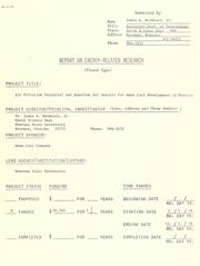
Search results from Open Library.
Recent natural events nearby
- Wildfire Sarpy, Big Horn, MontanaWildfires · 2026-08-17 · 43 mi
- Wildfire Harris, Rosebud, MontanaWildfires · 2026-08-09 · 48 mi
- Wildfire Davis Coulee, Big Horn, MontanaWildfires · 2026-09-14 · 54 mi
- Wildfire Snow, Custer, MontanaWildfires · 2026-09-02 · 80 mi
- Wildfire PK, Sheridan, WyomingWildfires · 2026-10-09 · 84 mi
- Incident Complex Rattlesnake Complex, Prairie, MontanaWildfires · 2026-09-04 · 94 mi
- Wildfire Ayers Pond, Prairie, MontanaWildfires · 2026-09-03 · 101 mi
- Wildfire Montgomery Draw, Campbell, WyomingWildfires · 2026-08-06 · 112 mi
Wildfires, storms and other events from NASA EONET (last 12 months, within 250 mi).
Ground air-quality sensors
Recently spotted species
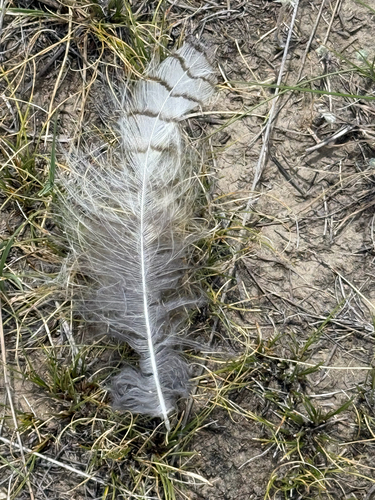
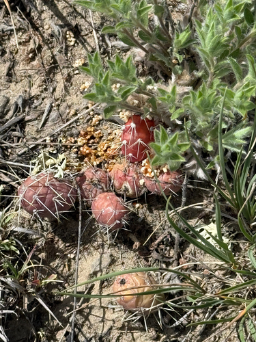
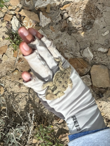
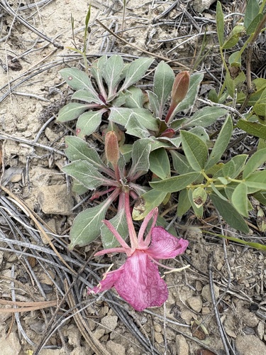
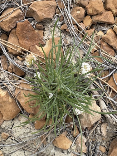
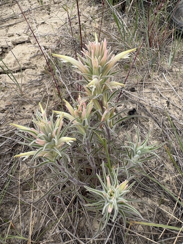
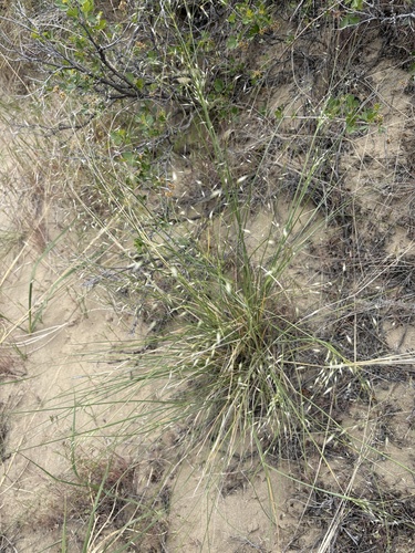
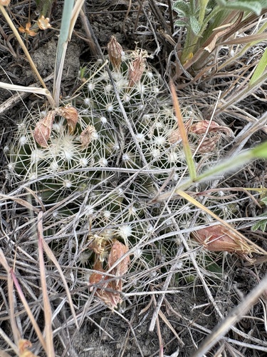
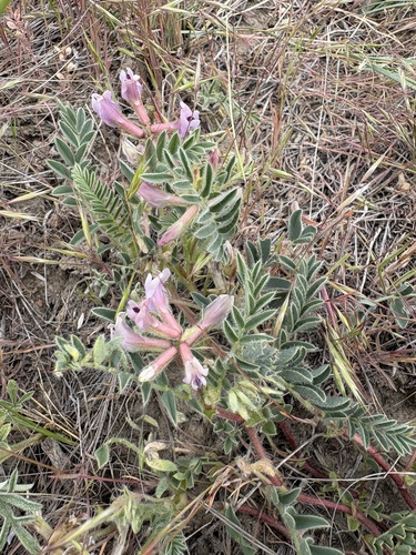
Research-grade observations from iNaturalist (within ~15 mi).
Nearest stream gauge
Live readings from USGS NWIS · measured 2026-10-16 08:45 UTC.
Events
Gallery
Sources
- • Wikipedia
- • US Census Bureau (ACS 5-year estimates)
- • NOAA National Weather Service
- • Wikidata
- • USGS Earthquake Catalog (global feed)
- • USGS NWIS (water data)
- • GBIF (Global Biodiversity Information Facility)
- • iNaturalist
- • Open-Meteo / sunrise-sunset.org
- • Wikipedia Pageviews API
- • Open Library
- • NASA EONET