Browse / United States / Montana / Cut Bank
Cut Bank
Montanacity

Cut Bank
Total population
3,028
Median home value
$164,100
Bachelor's+
Median income
$49,432
Demographic figures from US Census Bureau · ACS 5-year estimates. Overview below cites Wikipedia and may reference a different year.
City facts
Facts from Wikidata (CC0).
Overview
Cut Bank is a city in and the county seat of Glacier County, Montana, United States, located just east of the "cut bank" (gorge) along Cut Bank Creek. The population was 3,056 at the 2020 census. The town was founded in 1891 with the arrival of the Great Northern Railway.
Read more on WikipediaHistory & geography
Geography
Cut Bank is located in eastern Glacier County. The Blackfeet Indian Reservation is located just west of Cut Bank, on the western side of Cut Bank Creek. According to the United States Census Bureau, the city has a total area of , all land. The city is located south of the Canada–United States border. The name of the city comes from the cut bank (gorge) a scenic hazard to navigation and a geologic feature of the same name. The Cut Bank Creek river is spanned cliffs to cliffs by a scenic elevated railway bridge high above the canyon floor less than a mile from the edge of the town. Cut Bank experiences a semi-arid climate (Köppen BSk), with long, cold, dry winters and short, warm, wetter summers. In winter, bitterly cold arctic air masses move south and impact the eastern side of the American Continental Divide. During such invasions, Cut Bank, with its comparatively high elevation and topography, is frequently the coldest location in the lower 48 U.S. States. Being close to the eastern slopes of the Rocky Mountains also makes the area subject to occasional Chinook winds that can rapidly increase the local temperature.
Excerpted from the corresponding Wikipedia article (CC BY-SA).
Demographics & economy
Race & ethnicity
Source: US Census Bureau — American Community Survey, 5-year estimates.
Geography
Coordinates & boundaries from the US Census TIGER/Line shapefiles.
Climate
Air quality
Industrial & pollution facilities
Natural hazard risk
Health (adults)
Age-adjusted prevalence estimates from CDC PLACES (latest release).
Walkability
Amenities nearby
Wildlife & biodiversity
Most-observed species
- House SparrowPasser domesticus (Linnaeus, 1758) · Aves125
- Rock PigeonColumba livia J.F.Gmelin, 1789 · Aves112
- Eurasian Collared-DoveStreptopelia decaocto (Frivaldszky, 1838) · Aves110
- European StarlingSturnus vulgaris Linnaeus, 1758 · Aves104
- American RobinTurdus migratorius Linnaeus, 1766 · Aves101
- Common RavenCorvus corax Linnaeus, 1758 · Aves97
- Mourning DoveZenaida macroura (Linnaeus, 1758) · Aves86
- Red-tailed HawkButeo jamaicensis (Gmelin, 1788) · Aves68
Citizen-science & research observations from the Global Biodiversity Information Facility (GBIF).
Schools
Largest nearby schools
- Cut Bank High SchoolHigh · Cut Bank · 227 students · 14.2:1 ratio
- H C Davis ElementaryElementary · Cut Bank · 225 students · 11.8:1 ratio
- Cut Bank Middle SchoolMiddle · Cut Bank · 173 students · 15.7:1 ratio
- Anna Jeffries ElementaryElementary · Cut Bank · 95 students · 13.6:1 ratio
- Horizon ElementaryElementary · Cut Bank · 12 students · 12:1 ratio
Public K–12 schools within ~10 mi from Urban Institute Education Data Portal (NCES Common Core of Data, 2022).
Earthquake history
Most recent
- M 2.7 — 2024-04-1017 km NNW of Santa Rita, Montana
- M 2.8 — 2024-01-208 km S of Cardston, Canada
- M 2.5 — 2019-06-0319 km W of Heart Butte, Montana
- M 3.1 — 2018-10-2226 km NNW of Santa Rita, Montana
- M 3.3 — 2017-11-2221 km S of Magrath, Canada
- M 2.5 — 2016-11-2916 km S of Cardston, Canada
Events from the USGS Earthquake Catalog (global) (FDSN Event Web Service).
Photos
Sights & places nearby
Notable people from here
Nearby places in Montana
Geography & sun
Elevation, sunrise/sunset and daylight from Open-Meteo. Solar climatology from NASA POWER.
Nearby airports
Public attention
Pageview totals from the Wikimedia Pageviews API.
Books about Cut Bank


Search results from Open Library.
Recent natural events nearby
- Wildfire Middle Coulee, Chouteau, MontanaWildfires · 2026-08-02 · 88 mi
- Wildfire Camp Creek, Powell, MontanaWildfires · 2026-08-21 · 91 mi
- Wildfire Deer Creek, Lincoln, MontanaWildfires · 2026-08-20 · 131 mi
- Prescribed Fire Kelly Gulch RX, Lewis and Clark, MontanaWildfires · 2026-09-22 · 134 mi
- Wildfire Ant Park, Meagher, MontanaWildfires · 2026-07-31 · 153 mi
- Prescribed Fire Bonanza Ridge RX, Broadwater, MontanaWildfires · 2026-09-24 · 167 mi
- Wildfire Dudley, Shoshone, IdahoWildfires · 2026-08-26 · 182 mi
- Wildfire Black Bear, Ravalli, MontanaWildfires · 2026-08-01 · 185 mi
Wildfires, storms and other events from NASA EONET (last 12 months, within 250 mi).
Ground air-quality sensors
Recently spotted species
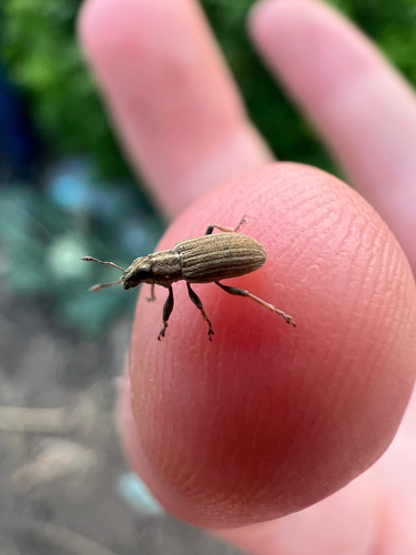

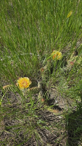
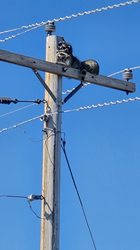
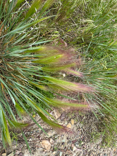
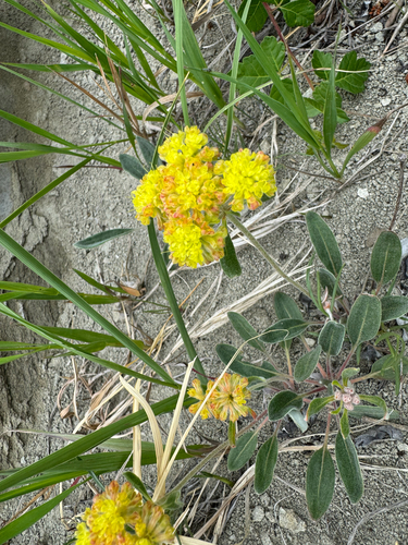
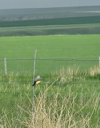
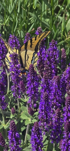

Research-grade observations from iNaturalist (within ~15 mi).
Nearest stream gauge
Live readings from USGS NWIS · measured 2026-10-11 03:30 UTC.
Events
Gallery
Sources
- • Wikipedia
- • US Census Bureau (ACS 5-year estimates)
- • Wikidata
- • USGS Earthquake Catalog (global feed)
- • USGS NWIS (water data)
- • NCES via Urban Institute Education Data Portal
- • GBIF (Global Biodiversity Information Facility)
- • iNaturalist
- • CDC PLACES
- • Open-Meteo / sunrise-sunset.org
- • Wikipedia Pageviews API
- • Open Library
- • NASA EONET