Browse / United States / Montana / East End Colony
East End Colony
MontanaCDP
Total population
0
Median home value
$0
Median income
$0
Demographic figures from US Census Bureau · ACS 5-year estimates. Overview below cites Wikipedia and may reference a different year.
City facts
Overview
East End Colony, a census-designated community in Montana, United States, forms part of the country's settled landscape. No reliable population estimate is published for this entry in the open data we rely on. Its coordinates of 48.752°, -109.547° place it in the temperate zone of the northern hemisphere. Based on its temperate position, residents likely encounter four distinct seasons with warm summers and cold winters. Solar-resource estimates put the area at about 1,453 kWh/m² of solar irradiance per year with sunshine for roughly 57% of daylight hours. Total area is recorded as a compact 1.2 km². Further detail — demographics, climate, nearby amenities and natural-hazard data — is compiled below from public open-data sources.
Summary composed automatically from structured open data on this page. See our Terms for details.
History & geography
Demographics & economy
Source: US Census Bureau — American Community Survey, 5-year estimates.
Geography
Coordinates & boundaries from the US Census TIGER/Line shapefiles.
Climate
Air quality
Industrial & pollution facilities
Natural hazard risk
Health (adults)
Walkability
Amenities nearby
Wildlife & biodiversity
Most-observed species
- Horned LarkEremophila alpestris (Linnaeus, 1758) · Aves26
- Western MeadowlarkSturnella neglecta Audubon, 1844 · Aves19
- Vesper SparrowPooecetes gramineus (J.F.Gmelin, 1789) · Aves11
- Red-winged BlackbirdAgelaius phoeniceus (Linnaeus, 1766) · Aves11
- MallardAnas platyrhynchos Linnaeus, 1758 · Aves11
- Mourning DoveZenaida macroura (Linnaeus, 1758) · Aves8
- Canada Goose (canadensis Group)Branta canadensis (Linnaeus, 1758) · Aves8
- Northern ShovelerSpatula clypeata (Linnaeus, 1758) · Aves8
Citizen-science & research observations from the Global Biodiversity Information Facility (GBIF).
Schools
Earthquake history
Events from the USGS Earthquake Catalog (global) (FDSN Event Web Service).
Photos
Sights & places nearby
Notable people from here
Nearby places in Montana
Geography & sun
Elevation, sunrise/sunset and daylight from Open-Meteo. Solar climatology from NASA POWER.
Nearby airports
Public attention
Pageview totals from the Wikimedia Pageviews API.
Books about East End Colony

Search results from Open Library.
Recent natural events nearby
- Wildfire Middle Coulee, Chouteau, MontanaWildfires · 2026-08-02 · 97 mi
- Wildfire Ant Park, Meagher, MontanaWildfires · 2026-07-31 · 148 mi
- Prescribed Fire Kelly Gulch RX, Lewis and Clark, MontanaWildfires · 2026-09-22 · 172 mi
- Wildfire Camp Creek, Powell, MontanaWildfires · 2026-08-21 · 188 mi
- Wildfire Windmill, Stillwater, MontanaWildfires · 2026-08-19 · 201 mi
- Prescribed Fire Bonanza Ridge RX, Broadwater, MontanaWildfires · 2026-09-24 · 202 mi
- Wildfire Sarpy, Big Horn, MontanaWildfires · 2026-08-17 · 231 mi
- Wildfire Davis Coulee, Big Horn, MontanaWildfires · 2026-09-14 · 240 mi
Wildfires, storms and other events from NASA EONET (last 12 months, within 250 mi).
Ground air-quality sensors
Recently spotted species
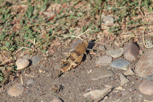
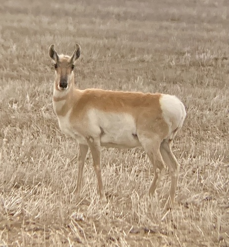
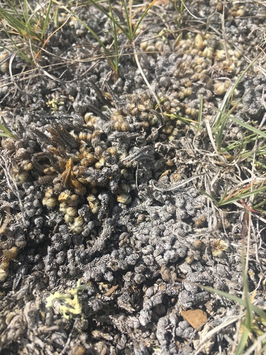
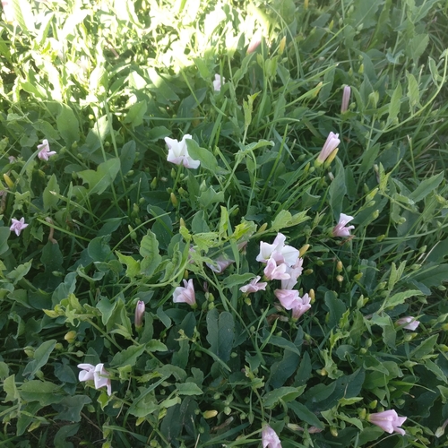
Research-grade observations from iNaturalist (within ~15 mi).
Nearest stream gauge
Live readings from USGS NWIS.
Events
Gallery
Sources
- • US Census Bureau (ACS 5-year estimates)
- • Wikidata
- • USGS Earthquake Catalog (global feed)
- • USGS NWIS (water data)
- • GBIF (Global Biodiversity Information Facility)
- • iNaturalist
- • Open-Meteo / sunrise-sunset.org
- • Wikipedia Pageviews API
- • Open Library
- • NASA EONET