Browse / United States / Montana / Fort Peck
Fort Peck
Montanatown

Fort Peck
Total population
280
Median home value
$273,900
Bachelor's+
Median income
$90,833
Demographic figures from US Census Bureau · ACS 5-year estimates. Overview below cites Wikipedia and may reference a different year.
City facts
Facts from Wikidata (CC0).
Overview
Fort Peck is a town in Valley County, Montana, United States. The population was 239 at the 2020 census.
Read more on WikipediaHistory & geography
History
The name Fort Peck is associated with Col. Campbell K. Peck, the partner of Elias H. Durfee in the Leavenworth, Kansas trading firm of Durfee and Peck. In 1867, company employee Abe Farwell constructed the Fort Peck trading post along the Missouri River, which enjoyed a virtual monopoly in trade with the Sioux and Assiniboine people. After its short life as a trading post, Fort Peck served as an Indian agency from 1873 until 1878. At that time, the agency was moved to its current location at Poplar. Fort Peck had a post office from 1879 to 1881. A new town of Fort Peck, located approximately two miles north of the original, was built in 1934 to house Army Corps of Engineers employees involved in the construction of the Fort Peck Dam. Designed to be temporary, the government-owned town nevertheless included many features of a permanent town, including an administrative headquarters, a hospital, stores, a theater, a recreation hall, and other facilities. Totally inadequate to house the 10,000-plus employees, Fort Peck was soon joined by numerous shanty towns, including Wheeler, New Deal, Delano Heights, and Park Grove. The Fort Peck Original Houses Historic District, the Fort Peck Theatre, and the hospital, administration building, and other associated public works properties are listed in the National Register. The Administration Building, the Employee's Hotel and Garage, the Garage and Fire Station, the Hospital, and the Recreation Hall of the government-run town are listed on the National Register of Historic Places.
Geography
According to the United States Census Bureau, the town has a total area of , all land.
Excerpted from the corresponding Wikipedia article (CC BY-SA).
Demographics & economy
Race & ethnicity
Source: US Census Bureau — American Community Survey, 5-year estimates.
Geography
Coordinates & boundaries from the US Census TIGER/Line shapefiles.
Climate
Current forecast
Forecast for Fort Peck, MT from NOAA NWS API.
Air quality
Industrial & pollution facilities
Natural hazard risk
Health (adults)
Walkability
Amenities nearby
Wildlife & biodiversity
Most-observed species
- American RobinTurdus migratorius Linnaeus, 1766 · Aves773
- Mourning DoveZenaida macroura (Linnaeus, 1758) · Aves691
- Canada Goose (canadensis Group)Branta canadensis (Linnaeus, 1758) · Aves593
- Western MeadowlarkSturnella neglecta Audubon, 1844 · Aves553
- Ring-billed GullLarus delawarensis Ord, 1815 · Aves541
- Yellow WarblerSetophaga petechia (Linnaeus, 1766) · Aves482
- Northern FlickerColaptes auratus (Linnaeus, 1758) · Aves465
- Double-crested CormorantPhalacrocorax auritus (Lesson, 1831) · Aves453
Citizen-science & research observations from the Global Biodiversity Information Facility (GBIF).
Schools
Earthquake history
Events from the USGS Earthquake Catalog (global) (FDSN Event Web Service).
Photos
Sights & places nearby
Notable people from here
Nearby places in Montana
Geography & sun
Elevation, sunrise/sunset and daylight from Open-Meteo. Solar climatology from NASA POWER.
Nearby airports
Public attention
Pageview totals from the Wikimedia Pageviews API.
Books about Fort Peck
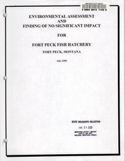
Search results from Open Library.
Recent natural events nearby
- Incident Complex Rattlesnake Complex, Prairie, MontanaWildfires · 2026-09-04 · 121 mi
- Wildfire Ayers Pond, Prairie, MontanaWildfires · 2026-09-03 · 121 mi
- Wildfire Snow, Custer, MontanaWildfires · 2026-09-02 · 121 mi
- Wildfire Sarpy, Big Horn, MontanaWildfires · 2026-08-17 · 165 mi
- Wildfire Davis Coulee, Big Horn, MontanaWildfires · 2026-09-14 · 179 mi
- Wildfire Harris, Rosebud, MontanaWildfires · 2026-08-09 · 194 mi
- Wildfire Alice, Harding, South DakotaWildfires · 2026-07-26 · 203 mi
- Wildfire Windmill, Stillwater, MontanaWildfires · 2026-08-19 · 208 mi
Wildfires, storms and other events from NASA EONET (last 12 months, within 250 mi).
Ground air-quality sensors
Recently spotted species
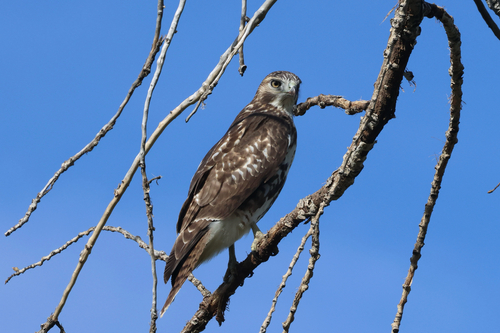
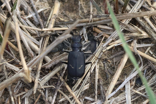
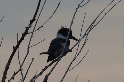
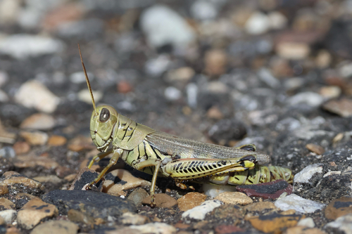
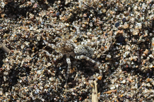
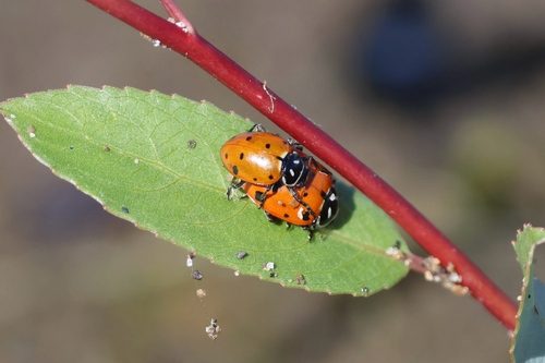
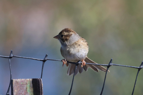
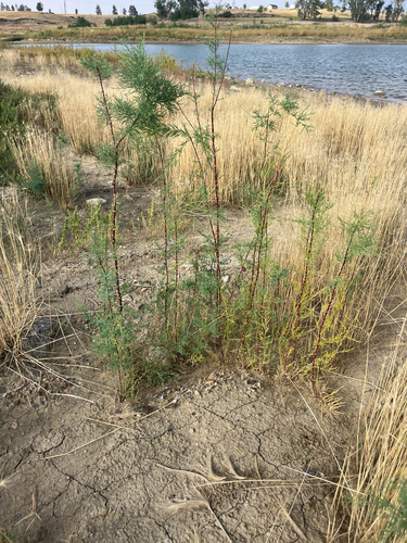
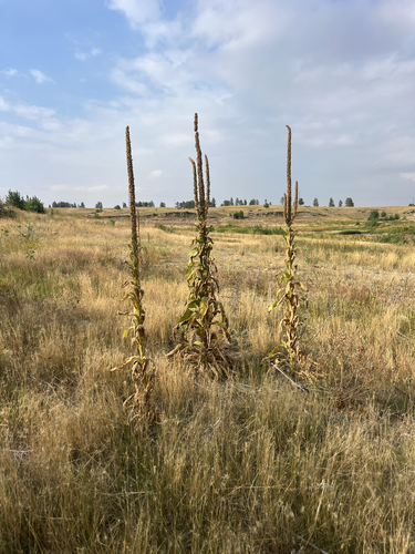
Research-grade observations from iNaturalist (within ~15 mi).
Nearest stream gauge
Events
Gallery
Sources
- • Wikipedia
- • US Census Bureau (ACS 5-year estimates)
- • NOAA National Weather Service
- • Wikidata
- • USGS Earthquake Catalog (global feed)
- • GBIF (Global Biodiversity Information Facility)
- • iNaturalist
- • Open-Meteo / sunrise-sunset.org
- • Wikipedia Pageviews API
- • Open Library
- • NASA EONET