Browse / Malta / Malta / Marsalforn
Marsalforn
Maltavillage

Marsalforn
Demographic figures from National Statistics Office (Malta). Overview below cites Wikipedia and may reference a different year.
City facts
Facts from Wikidata (CC0).
Overview
Marsalforn, also written as M'Forn for shortcut purposes, is a town on the north coast of Gozo, the second largest island of the Maltese archipelago. The town lies between the hilltop towns of Xagħra and Żebbuġ. Associated with this town is the bay of Qbajjar. The town is part of the Żebbuġ local council.
Read more on WikipediaHistory & geography
History
Marsalforn dates back to Roman times. Until the sixteenth century, the port was the most important in Gozo. Imported food supplies from Sicily were unloaded at Marsalforn, and it was from there that passengers boarded to travel to Licata in Sicily and other continental ports. By the late sixteenth and early seventeenth centuries the Knights of the Order of Saint John, the rulers of Malta at the time, considered abandoning the old Citadel in the centre of the island and building a new town overlooking the port. Hostility from the Gozitan people meant that the plans were never realised. They protested that they were too poor to pay the extra tax needed to finance the move and the disruption caused by the transfer of their homes from Victoria to Marsalforn would be too great. Marsalforn's church, St Paul's Church, was built in 1730. It was restored in 1939. With the development of Mġarr harbour, Marsalforn lost its importance and for several centuries, it remained a quiet fishing town inhabited by a small community of fishermen and their families. During the siege of Malta, on 12 April 1942, Marsalforn was hit by several bombs. On 19 May 2019, the Ministry for Gozo installed a WWII memorial commemorating the attack on Marsalforn on 3 March 1942.
Geography
To the south of Marsalforn is a fertile valley named after the town. The valley is bounded by several hillocks and used to be known as the "haven of hillocks". The most famous of these is tas-Salvatur (Our Saviours Hill) also referred locally as Tal-Merzuq Hill (Ray of Light) due to the legends surrounding it, recorded by Giovanni Abela in the seventeenth century. This volcano-like hill has acquired the attention of the people since 1901, when a large wooden cross was erected on its peak. Three years later, when Gozo was consecrated to Christ the Saviour, a stone statue of Christ replaced the cross. This was in turn replaced by a gigantic concrete statue towering twelve metres above the hill, which remains to this day. As recorded in the Acts of the Apostles, Paul the Apostle was shipwrecked in Malta, but legend maintains that it was from Marsalforn that he embarked for Sicily and Rome. Today, this legend is symbolised by the town's emblem, which consists of a viper encircling a sword. This refers to an episode involving Saint Paul when he remained unharmed after being bit by a viper. The town church of "Saint Paul Shipwreck" is also dedicated to the memory of Saint Paul's departure from Marsalforn. The church, originally raised in the fourteenth century, has been rebuilt and enlarged many times. The foundation stone of the present church was laid in 1730. The feast is celebrated on 10 February every year. To the west, over a small headland, lies a smaller bay, Qbajjar.
Excerpted from the corresponding Wikipedia article (CC BY-SA).
Geography
Coordinates & boundaries from the US Census TIGER/Line shapefiles.
Climate
10-year averages from ERA5 reanalysis (Open-Meteo).
Air quality
Walkability
Amenities nearby
Wildlife & biodiversity
Most-observed species
- Spanish SparrowPasser hispaniolensis (Temminck, 1820) · Aves1,292
- Sardinian WarblerCurruca melanocephala (J.F.Gmelin, 1789) · Aves805
- Yellow-legged GullLarus michahellis J.F.Naumann, 1840 · Aves752
- Filfola Wall LizardPodarcis filfolensis (Bedriaga, 1876) · Squamata717
- Zitting CisticolaCisticola juncidis (Rafinesque, 1810) · Aves616
- Little Egret/Western Reef-HeronEgretta garzetta (Linnaeus, 1766) · Aves542
- White WagtailMotacilla alba Linnaeus, 1758 · Aves504
- Common SandpiperActitis hypoleucos (Linnaeus, 1758) · Aves497
Citizen-science & research observations from the Global Biodiversity Information Facility (GBIF).
Earthquake history
Most recent
- M 3.3 — 2025-04-1713 km NE of Sliema, Malta
- M 4.5 — 2022-11-2213 km NW of G?arb, Malta
- M 4.5 — 2020-12-227 km NNW of Scoglitti, Italy
- M 4.4 — 2020-09-3019 km SSW of ?urrieq, Malta
- M 3.3 — 2019-10-089 km NE of ?ebbu?, Malta
- M 3 — 2017-12-011 km SE of Marsaxlokk, Malta
Events from the USGS Earthquake Catalog (global) (FDSN Event Web Service).
Photos
Sights & places nearby
Notable people from here


People born within ~10 km, from Wikidata (CC0). Click any name for their Wikipedia article.
Geography & sun
Elevation, sunrise/sunset and daylight from Open-Meteo. Solar climatology from NASA POWER.
Nearby airports
Public attention
Pageview totals from the Wikimedia Pageviews API.
Books about Marsalforn
Search results from Open Library.
Recent natural events nearby
Ground air-quality sensors
Recently spotted species
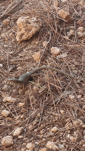
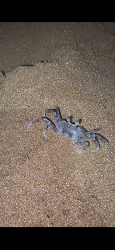
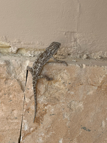
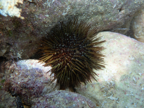
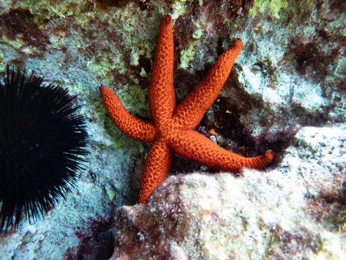
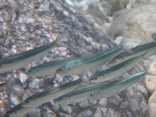
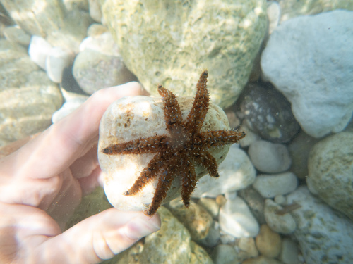
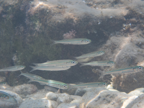
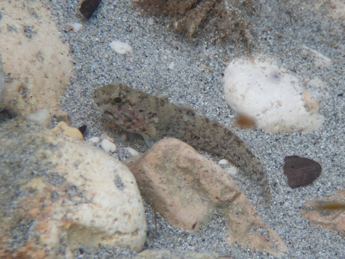
Research-grade observations from iNaturalist (within ~15 mi).
Events
Gallery
Sources
- • Wikipedia
- • Open-Meteo (ERA5 reanalysis)
- • Wikidata
- • USGS Earthquake Catalog (global feed)
- • GBIF (Global Biodiversity Information Facility)
- • iNaturalist
- • Open-Meteo / sunrise-sunset.org
- • Wikipedia Pageviews API
- • Open Library