Browse / United States / Montana / Pray
Pray
MontanaCDP
Total population
1,129
Median home value
$629,600
Bachelor's+
Median income
$96,250
Demographic figures from US Census Bureau · ACS 5-year estimates. Overview below cites Wikipedia and may reference a different year.
- Fire Weather Watch · SevereFire Weather Watch issued October 7 at 4:51PM MDT until October 9 at 9:00PM MDT by NWS Billings MT
Source: NOAA National Weather Service.
City facts
Facts from Wikidata (CC0).
Overview
Pray is an unincorporated community in Park County, Montana, United States, in the Paradise Valley. The town was founded in 1907 by Valentine Eggar, an entrepreneur. He named it after Congressman Charles Nelson Pray. For statistical purposes, the United States Census Bureau has defined Pray as a census-designated place (CDP). The CDP does not correspond to the local understanding of the townsite. As of the 2020 census, Pray had a population of 790. Pray has a post office with ZIP code 59065, which opened on December 8, 1909.
Read more on WikipediaHistory & geography
Demographics & economy
Race & ethnicity
Source: US Census Bureau — American Community Survey, 5-year estimates.
Geography
Coordinates & boundaries from the US Census TIGER/Line shapefiles.
Climate
Current forecast
Forecast for Pray, MT from NOAA NWS API.
Air quality
Industrial & pollution facilities
Natural hazard risk
Health (adults)
Age-adjusted prevalence estimates from CDC PLACES (latest release).
Walkability
Amenities nearby
Wildlife & biodiversity
Most-observed species
- American RobinTurdus migratorius Linnaeus, 1766 · Aves728
- Black-billed MagpiePica hudsonia (Sabine, 1823) · Aves665
- Common RavenCorvus corax Linnaeus, 1758 · Aves481
- OspreyPandion haliaetus (Linnaeus, 1758) · Aves358
- Bald EagleHaliaeetus leucocephalus (Linnaeus, 1766) · Aves356
- Red-winged BlackbirdAgelaius phoeniceus (Linnaeus, 1766) · Aves347
- Western MeadowlarkSturnella neglecta Audubon, 1844 · Aves336
- Red-tailed HawkButeo jamaicensis (Gmelin, 1788) · Aves335
Citizen-science & research observations from the Global Biodiversity Information Facility (GBIF).
Schools
Earthquake history
Most recent
- M 2.77 — 2026-09-083 km ESE of Hebgen Lake Estates, Montana
- M 3.33 — 2026-07-1639 km SSE of Mammoth, Wyoming
- M 2.5 — 2026-04-1416 km ESE of Harrison, Montana
- M 2.9 — 2026-04-0530 km W of Hebgen Lake Estates, Montana
- M 2.56 — 2026-01-1010 km W of Hebgen Lake Estates, Montana
- M 2.71 — 2025-12-3133 km E of West Yellowstone, Montana
Events from the USGS Earthquake Catalog (global) (FDSN Event Web Service).
Photos
Sights & places nearby
Notable people from here
Geography & sun
Elevation, sunrise/sunset and daylight from Open-Meteo. Solar climatology from NASA POWER.
Nearby airports
Public attention
Pageview totals from the Wikimedia Pageviews API.
Books about Pray

Search results from Open Library.
Recent natural events nearby
- Wildfire Windmill, Stillwater, MontanaWildfires · 2026-08-19 · 62 mi
- Prescribed Fire Bonanza Ridge RX, Broadwater, MontanaWildfires · 2026-09-24 · 79 mi
- Wildfire Ant Park, Meagher, MontanaWildfires · 2026-07-31 · 91 mi
- Prescribed Fire Kelly Gulch RX, Lewis and Clark, MontanaWildfires · 2026-09-22 · 105 mi
- Wildfire Roe 2, Beaverhead, MontanaWildfires · 2026-08-27 · 109 mi
- Wildfire Bobcat Lakes, Beaverhead, MontanaWildfires · 2026-07-31 · 125 mi
- Wildfire Sand Creek, Beaverhead, MontanaWildfires · 2026-08-01 · 130 mi
- Wildfire Big Rock, Jefferson, IdahoWildfires · 2026-07-31 · 133 mi
Wildfires, storms and other events from NASA EONET (last 12 months, within 250 mi).
Ground air-quality sensors
Recently spotted species
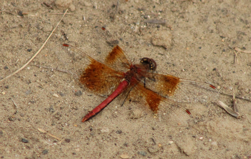
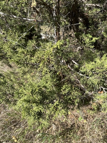
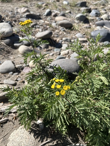
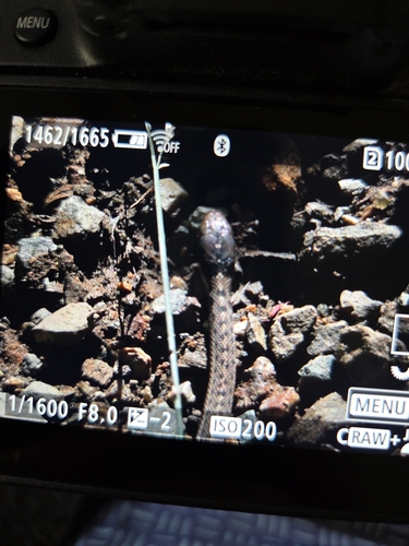
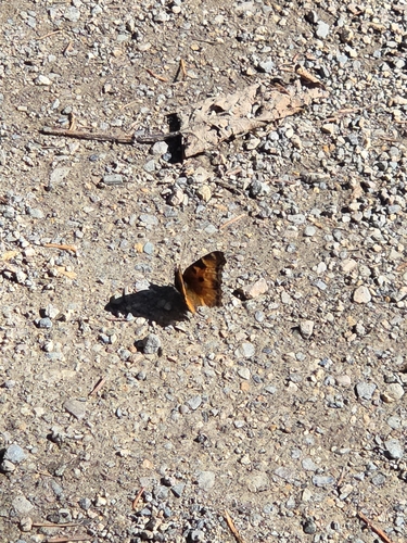
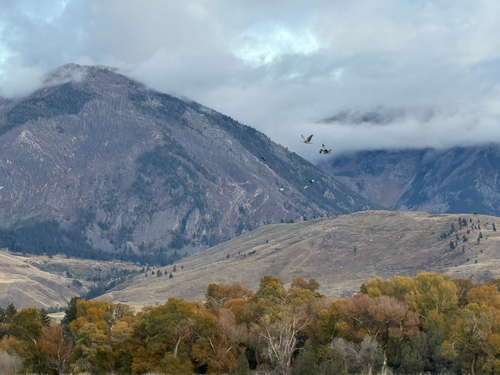
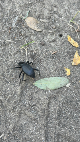
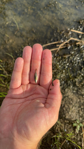
Research-grade observations from iNaturalist (within ~15 mi).
Nearest stream gauge
Live readings from USGS NWIS · measured 2026-10-07 16:00 UTC.
Events
Gallery
Sources
- • Wikipedia
- • US Census Bureau (ACS 5-year estimates)
- • NOAA National Weather Service
- • Wikidata
- • USGS Earthquake Catalog (global feed)
- • USGS NWIS (water data)
- • GBIF (Global Biodiversity Information Facility)
- • iNaturalist
- • CDC PLACES
- • Open-Meteo / sunrise-sunset.org
- • Wikipedia Pageviews API
- • Open Library
- • NASA EONET