Browse / United States / Montana / Snowslip
Snowslip
MontanaCDP
Total population
71
Median home value
$675,000
Bachelor's+
Median income
$186,750
Demographic figures from US Census Bureau · ACS 5-year estimates. Overview below cites Wikipedia and may reference a different year.
City facts
Facts from Wikidata (CC0).
Overview
Snowslip is an unincorporated community and census-designated place (CDP) in Flathead County, Montana, United States. As of the 2020 census, Snowslip had a population of 39. It is in the eastern part of the county, along U.S. Route 2, 7 miles (11 km) southwest of where the highway crosses the Continental Divide at Marias Pass. The community is in the valley of Bear Creek and is surrounded by Flathead National Forest. The BNSF Railway Hi-Line route passes along the northwest side of the valley just outside the CDP. Glacier National Park is to the northwest, across the Hi-Line.
Read more on WikipediaHistory & geography
Demographics & economy
Race & ethnicity
Source: US Census Bureau — American Community Survey, 5-year estimates.
Geography
Coordinates & boundaries from the US Census TIGER/Line shapefiles.
Climate
Current forecast
Forecast for Snowslip, MT from NOAA NWS API.
Air quality
Industrial & pollution facilities
Natural hazard risk
Health (adults)
Walkability
Amenities nearby
Wildlife & biodiversity
Most-observed species
- American RobinTurdus migratorius Linnaeus, 1766 · Aves233
- Yellow-rumped WarblerSetophaga coronata (Linnaeus, 1766) · Aves229
- Pine SiskinSpinus pinus (A.Wilson, 1810) · Aves195
- Swainson's ThrushCatharus ustulatus (Nuttall, 1840) · Aves181
- Warbling VireoVireo gilvus (Vieillot, 1808) · Aves175
- Common RavenCorvus corax Linnaeus, 1758 · Aves174
- Ruby-crowned KingletRegulus calendula (Linnaeus, 1766) · Aves131
- Dark-eyed JuncoJunco hyemalis (Linnaeus, 1758) · Aves131
Citizen-science & research observations from the Global Biodiversity Information Facility (GBIF).
Schools
Earthquake history
Most recent
- M 2.5 — 2024-06-2324 km E of Swan Lake, Montana
- M 2.7 — 2024-04-1017 km NNW of Santa Rita, Montana
- M 3 — 2024-03-1517 km SSE of Swan Lake, Montana
- M 2.8 — 2024-01-208 km S of Cardston, Canada
- M 2.9 — 2022-09-264 km N of Elmo, Montana
- M 2.5 — 2022-07-146 km WNW of Bear Dance, Montana
Events from the USGS Earthquake Catalog (global) (FDSN Event Web Service).
Photos
Sights & places nearby
Notable people from here
Geography & sun
Elevation, sunrise/sunset and daylight from Open-Meteo. Solar climatology from NASA POWER.
Nearby airports
Public attention
Pageview totals from the Wikimedia Pageviews API.
Books about Snowslip
Search results from Open Library.
Recent natural events nearby
- Wildfire Camp Creek, Powell, MontanaWildfires · 2026-08-21 · 60 mi
- Wildfire Skillet, Lincoln, MontanaWildfires · 2026-07-29 · 67 mi
- Wildfire Deer Creek, Lincoln, MontanaWildfires · 2026-08-20 · 76 mi
- Wildfire Middle Coulee, Chouteau, MontanaWildfires · 2026-08-02 · 119 mi
- Wildfire Dudley, Shoshone, IdahoWildfires · 2026-08-26 · 125 mi
- Wildfire Moose Mountain, Clearwater, IdahoWildfires · 2026-07-30 · 132 mi
- Wildfire Black Bear, Ravalli, MontanaWildfires · 2026-08-01 · 146 mi
- Wildfire Nature Grove, Ravalli, MontanaWildfires · 2026-08-23 · 148 mi
Wildfires, storms and other events from NASA EONET (last 12 months, within 250 mi).
Ground air-quality sensors
Recently spotted species
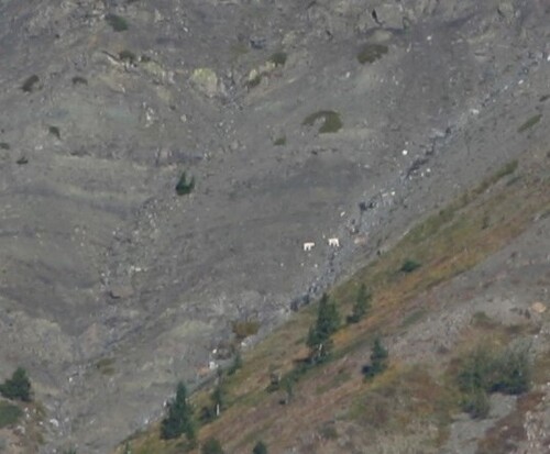
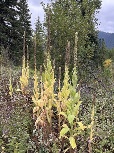
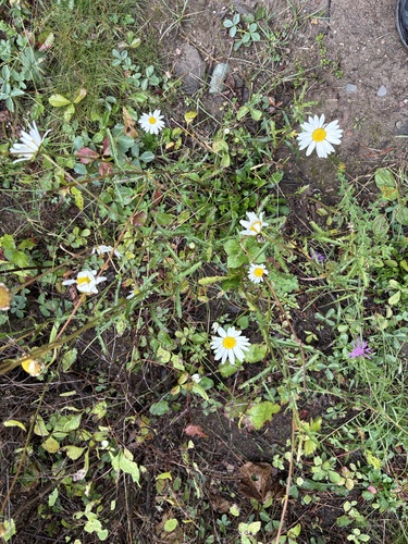
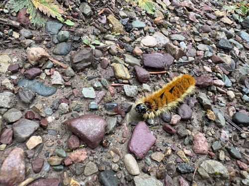
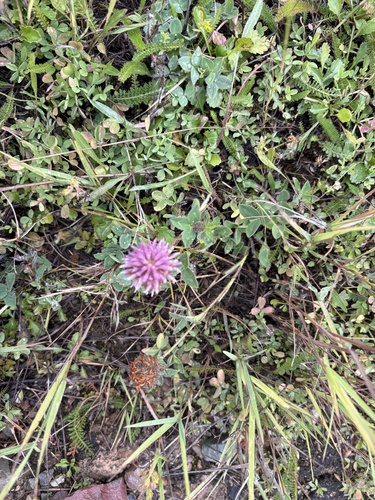
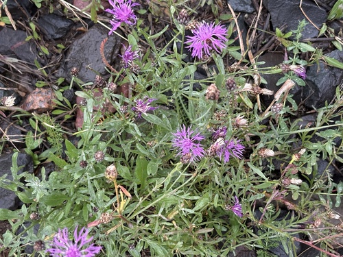
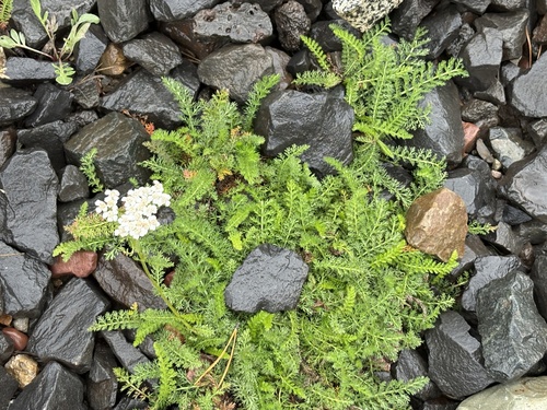
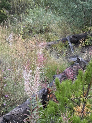
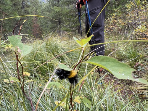
Research-grade observations from iNaturalist (within ~15 mi).
Nearest stream gauge
Events
Gallery
Sources
- • Wikipedia
- • US Census Bureau (ACS 5-year estimates)
- • NOAA National Weather Service
- • Wikidata
- • USGS Earthquake Catalog (global feed)
- • GBIF (Global Biodiversity Information Facility)
- • iNaturalist
- • Open-Meteo / sunrise-sunset.org
- • Wikipedia Pageviews API
- • Open Library
- • NASA EONET