Browse / United States / Montana / Trego
Trego
MontanaCDP
Total population
692
Median home value
$328,800
Bachelor's+
Median income
$108,750
Demographic figures from US Census Bureau · ACS 5-year estimates. Overview below cites Wikipedia and may reference a different year.
City facts
Facts from Wikidata (CC0).
Overview
Trego is an unincorporated community, and census-designated place (CDP), in Lincoln County, Montana, United States. As of the 2020 US Census, Trego has a population of 515. Trego is located 1.5 miles west of US Highway 93 and serves as the gateway community to the Tobacco Valley when traveling from Flathead County heading north.
Read more on WikipediaHistory & geography
History
The Fortin Family The Fortin's are the most notable family in Trego's history, being the first homesteaders to the region. In 1894, Octave Fortin and his family settled on 160 acres of meadowland just east of where "Trego" would eventually stand. This homestead would eventually become to be known as the OF Ranch (what today is known as Blarney Ranch). Octave's brother, Phillip Fortin, also homesteaded in the region, about four miles north of Octave's claim (what today is known as the Dunlap Hay Ranch). The Fort Steele/Kalispell Trail bordered the Fortin Ranch along the eastern boundary, and remnants of this original Native American/horse/wagon trail are still visible on the ranch, as are the remnants of the original buildings the Fortin's constructed. Today, much of the trail was filled over and paved for modern day "Ant Flat Road." Octave Fortin, and wife Lena, had five sons, Edward and Walter Ritter (Lena's sons from a previous marriage where their father, William Ritter, died), as well as Oscar, Philip, and Henry. The family primarily raised cattle on the ranch, but also produced other goods such as butter, milk, hay and grains. Fortin to Fortine The confusion arises from an unnamed railroad engineer who mounted the sign "Trego" on what was supposed to be the Fortine station/siding, and mounted the "Fortine" sign on what was supposed to be the Trego station/siding. Once the mistake had been realized, the Great Northern Railway had already printed all of their maps, publications, and informational flyers detailing their new rail line from Kalispell/Whitefish to Eureka, so instead of re-printing everything and the great expense involved, they opted to just leave the names, which has remained to this day. The Fortin Family Legacy on the Region In 1905, Octave…
Geography
Trego is in northeastern Lincoln County and occupies a large portion of the valley of Fortine Creek and surrounding countryside. U.S. Route 93 runs along the northeast edge of the CDP, approximately northeast of the original railroad-station community of Trego, while the CDP extends southwest from the rail station up Fortine Creek for . US 93 leads northwest to Eureka and southeast to Whitefish. Trego is located about 25 miles south of the Roosville Border Crossing with British Columbia, Canada, 16 miles south of Eureka, Montana, 5 miles south of Fortine, Montana, and 7 miles north of Stryker, Montana. According to the U.S. Census Bureau, the Trego CDP has a total area of , of which are land and , or 1.78%, are water. The Trego area is characterized by dense coniferous forests, open meadowlands, and abundance of small creeks and lakes. The landscape is dominated by the Whitefish Range, which lies just east of Highway 93, punctuated by Stryker Peak and Mount Marston. Dickey Lake is the largest lake in Trego, followed by Murphy Lake, both of which offer recreational activities including boat ramps, campgrounds, hiking trails, and swimming beaches. Fortine Creek, the largest in Trego, offers recreation opportunities with public access.
Excerpted from the corresponding Wikipedia article (CC BY-SA).
Demographics & economy
Race & ethnicity
Source: US Census Bureau — American Community Survey, 5-year estimates.
Geography
Coordinates & boundaries from the US Census TIGER/Line shapefiles.
Climate
Current forecast
Forecast for Trego, MT from NOAA NWS API.
Air quality
Industrial & pollution facilities
Natural hazard risk
Health (adults)
Age-adjusted prevalence estimates from CDC PLACES (latest release).
Walkability
Amenities nearby
Wildlife & biodiversity
Most-observed species
- Common RavenCorvus corax Linnaeus, 1758 · Aves144
- Red-breasted NuthatchSitta canadensis Linnaeus, 1766 · Aves126
- American RobinTurdus migratorius Linnaeus, 1766 · Aves121
- Dark-eyed JuncoJunco hyemalis (Linnaeus, 1758) · Aves101
- Black-capped ChickadeePoecile atricapillus (Linnaeus, 1766) · Aves78
- Pine SiskinSpinus pinus (A.Wilson, 1810) · Aves76
- Swainson's ThrushCatharus ustulatus (Nuttall, 1840) · Aves69
- Ruby-crowned KingletRegulus calendula (Linnaeus, 1766) · Aves66
Citizen-science & research observations from the Global Biodiversity Information Facility (GBIF).
Schools
Earthquake history
Most recent
- M 2.9 — 2026-03-1332 km S of Pincher Creek, Canada
- M 3.1 — 2025-11-2120 km N of Heron, Montana
- M 2.6 — 2023-09-174 km NW of Happys Inn, Montana
- M 2.9 — 2022-09-264 km N of Elmo, Montana
- M 2.5 — 2022-07-146 km WNW of Bear Dance, Montana
- M 2.6 — 2021-03-017 km WSW of Whitefish, Montana
Events from the USGS Earthquake Catalog (global) (FDSN Event Web Service).
Photos
Sights & places nearby
Notable people from here
Geography & sun
Elevation, sunrise/sunset and daylight from Open-Meteo. Solar climatology from NASA POWER.
Nearby airports
Public attention
Pageview totals from the Wikimedia Pageviews API.
Books about Trego
Search results from Open Library.
Recent natural events nearby
- Wildfire Deer Creek, Lincoln, MontanaWildfires · 2026-08-20 · 35 mi
- Wildfire Parker Lake, Boundary, IdahoWildfires · 2026-08-23 · 79 mi
- Wildfire Silver, Boundary, IdahoWildfires · 2026-08-23 · 79 mi
- Wildfire Dudley, Shoshone, IdahoWildfires · 2026-08-26 · 90 mi
- Wildfire Camp Creek, Powell, MontanaWildfires · 2026-08-21 · 120 mi
- Wildfire FAIRVIEW, Spokane, WashingtonWildfires · 2026-08-01 · 128 mi
- Wildfire Moose Mountain, Clearwater, IdahoWildfires · 2026-07-30 · 130 mi
- Wildfire AUTUMN LANE, Spokane, WashingtonWildfires · 2026-08-01 · 137 mi
Wildfires, storms and other events from NASA EONET (last 12 months, within 250 mi).
Ground air-quality sensors
Recently spotted species
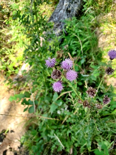
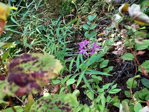
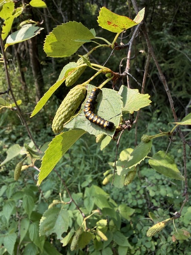
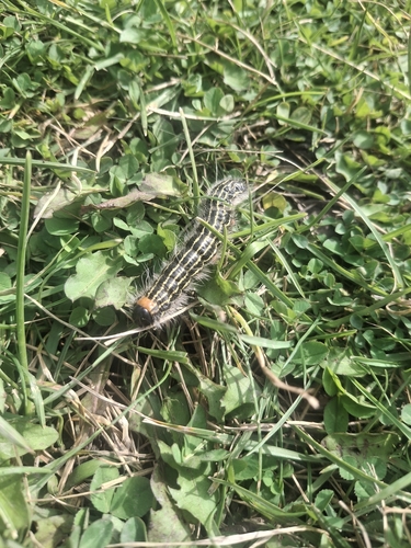
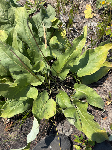
Research-grade observations from iNaturalist (within ~15 mi).
Nearest stream gauge
Live readings from USGS NWIS · measured 2026-09-27 04:30 UTC.
Events
Gallery
Sources
- • Wikipedia
- • US Census Bureau (ACS 5-year estimates)
- • NOAA National Weather Service
- • Wikidata
- • USGS Earthquake Catalog (global feed)
- • USGS NWIS (water data)
- • GBIF (Global Biodiversity Information Facility)
- • iNaturalist
- • CDC PLACES
- • Open-Meteo / sunrise-sunset.org
- • Wikipedia Pageviews API
- • Open Library
- • NASA EONET