Browse / United States / Montana / Wibaux
Wibaux
Montanatown

Wibaux
Total population
672
Median home value
$95,800
Bachelor's+
Median income
$66,856
Demographic figures from US Census Bureau · ACS 5-year estimates. Overview below cites Wikipedia and may reference a different year.
City facts
Facts from Wikidata (CC0).
Overview
Wibaux is a town in and the county seat of Wibaux County, Montana, United States. It is the only incorporated town in Wibaux County. The population was 462 at the 2020 census.
Read more on WikipediaHistory & geography
History
The town originally had names such as Keith, Beaver, and Mingusville (named for Minnie and Gus Grisy, who ran the town's post office in the late 19th century). In 1895, the town was renamed for prominent local cattle rancher Pierre Wibaux, who had immigrated to the area from France in 1883. Wibaux expanded his herds by buying stock from less fortunate ranchers. After Wibaux's arrival, the town became a major cattle shipping center for the Northern Pacific Railroad, The great cattle drives of the 1880s often passed by Wibaux on their way from Texas to the northern ranges. Theodore Roosevelt had a famous encounter with a bully at Nolan's Hotel in Wibaux (Mingusville, at the time) shortly after moving to the North Dakota Badlands in 1884. Arriving at the hotel late at night, Roosevelt was accosted by a drunk sheep herder carrying cocked revolvers in both hands, and ordered to buy drinks for the crowd. Roosevelt pretended to move towards the bar, then punched the man three times in quick succession, causing the drunk to fire his revolvers as he fell. The future president then took away the man's guns before several other occupants of the hotel dragged him out into a shed.
Geography
Wibaux is located at Montana's border to North Dakota. According to the United States Census Bureau, the town has a total area of , all land. Beaver Creek runs through the town and has been known to contain large walleye and Northern Pike. According to the Köppen Climate Classification system, Wibaux has a cold semi-arid climate, abbreviated "BSk" on climate maps. The hottest temperature recorded in Wibaux was on August 1, 1918, May 29, 1919, and August 7, 1949, while the coldest temperature recorded was in January 1916. |source 2 = National Weather Service }}
Excerpted from the corresponding Wikipedia article (CC BY-SA).
Demographics & economy
Race & ethnicity
Source: US Census Bureau — American Community Survey, 5-year estimates.
Geography
Coordinates & boundaries from the US Census TIGER/Line shapefiles.
Climate
Current forecast
Forecast for Wibaux, MT from NOAA NWS API.
Air quality
Industrial & pollution facilities
Natural hazard risk
Health (adults)
Age-adjusted prevalence estimates from CDC PLACES (latest release).
Walkability
Amenities nearby
Wildlife & biodiversity
Most-observed species
- Mourning DoveZenaida macroura (Linnaeus, 1758) · Aves353
- American RobinTurdus migratorius Linnaeus, 1766 · Aves283
- Western MeadowlarkSturnella neglecta Audubon, 1844 · Aves274
- Red-winged BlackbirdAgelaius phoeniceus (Linnaeus, 1766) · Aves265
- Common GrackleQuiscalus quiscula (Linnaeus, 1758) · Aves204
- Ring-necked PheasantPhasianus colchicus Linnaeus, 1758 · Aves173
- MallardAnas platyrhynchos Linnaeus, 1758 · Aves166
- House SparrowPasser domesticus (Linnaeus, 1758) · Aves156
Citizen-science & research observations from the Global Biodiversity Information Facility (GBIF).
Schools
Earthquake history
Most recent
- M 2.6 — 2026-08-132 km SE of Amidon, North Dakota
- M 2.6 — 2014-05-0612 km NNW of Knife River, Montana
Events from the USGS Earthquake Catalog (global) (FDSN Event Web Service).
Photos
Sights & places nearby
Notable people from here
People born within ~10 km, from Wikidata (CC0). Click any name for their Wikipedia article.
Nearby places in Montana
Geography & sun
Elevation, sunrise/sunset and daylight from Open-Meteo. Solar climatology from NASA POWER.
Nearby airports
Public attention
Pageview totals from the Wikimedia Pageviews API.
Books about Wibaux


Search results from Open Library.
Recent natural events nearby
- Wildfire Ayers Pond, Prairie, MontanaWildfires · 2026-09-03 · 38 mi
- Incident Complex Rattlesnake Complex, Prairie, MontanaWildfires · 2026-09-04 · 45 mi
- Wildfire Snow, Custer, MontanaWildfires · 2026-09-02 · 58 mi
- Wildfire Harris, Rosebud, MontanaWildfires · 2026-08-09 · 170 mi
- Wildfire Sarpy, Big Horn, MontanaWildfires · 2026-08-17 · 179 mi
- Wildfire Lumin, Sheridan, WyomingWildfires · 2026-07-31 · 184 mi
- Wildfire Davis Coulee, Big Horn, MontanaWildfires · 2026-09-14 · 192 mi
- Wildfire Montgomery Draw, Campbell, WyomingWildfires · 2026-08-06 · 198 mi
Wildfires, storms and other events from NASA EONET (last 12 months, within 250 mi).
Ground air-quality sensors
Recently spotted species
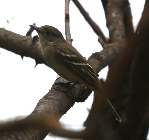
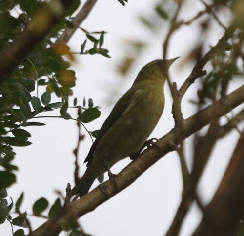
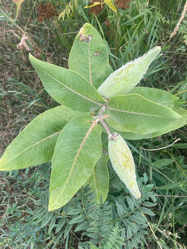

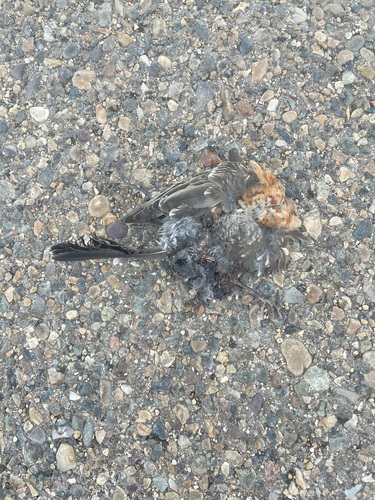
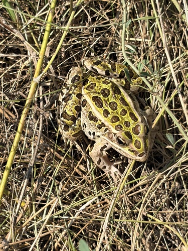
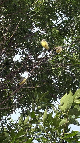

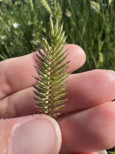
Research-grade observations from iNaturalist (within ~15 mi).
Nearest stream gauge
Events
Gallery
Sources
- • Wikipedia
- • US Census Bureau (ACS 5-year estimates)
- • NOAA National Weather Service
- • Wikidata
- • USGS Earthquake Catalog (global feed)
- • GBIF (Global Biodiversity Information Facility)
- • iNaturalist
- • CDC PLACES
- • Open-Meteo / sunrise-sunset.org
- • Wikipedia Pageviews API
- • Open Library
- • NASA EONET