Browse / Mauritius / Plaines Wilhems / Curepipe
Curepipe
Plaines Wilhemscity

Curepipe
Total population
81,600
Demographic figures from Statistics Mauritius. Overview below cites Wikipedia and may reference a different year.
City facts
Sister cities
Facts from Wikidata (CC0).
Overview
Curepipe, also known as La Ville-Lumière, is a town in Mauritius, located mainly in the Plaines Wilhems District. Its eastern part lies in the Moka District. Known for its colonial architecture, the town is administered by the Municipal Council of Curepipe. Curepipe lies at a higher elevation, often referred to as the "Central Plateau". According to the census made by Statistics Mauritius in 2018, the population of the town was at 78,618.
Read more on WikipediaHistory & geography
Geography
The town officially covers an area of . It is located in the Plaine Wilhems district on the central plateau of Mauritius at an altitude of 561 meters. Of the larger towns of the island's central plateau, Curepipe is the most southern and also the highest. As a consequence of its height, Curepipe is known for its relatively cooler and rainier climate. The dormant volcano Trou aux Cerfs is nearby.
Excerpted from the corresponding Wikipedia article (CC BY-SA).
Geography
Coordinates & boundaries from the US Census TIGER/Line shapefiles.
Climate
Air quality
Walkability
Amenities nearby
Wildlife & biodiversity
Earthquake history
Photos
Sights & places nearby
Notable people from here
Nearby places in Plaines Wilhems
Geography & sun
Elevation, sunrise/sunset and daylight from Open-Meteo. Solar climatology from NASA POWER.
Nearby airports
Public attention
Pageview totals from the Wikimedia Pageviews API.
Books about this place
Recent natural events nearby
Ground air-quality sensors
Recently spotted species
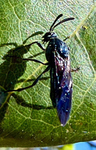
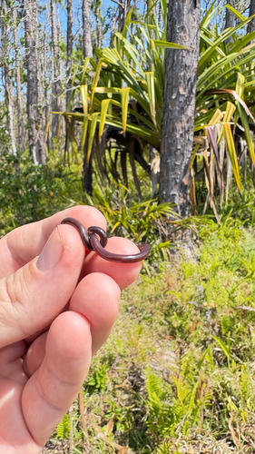
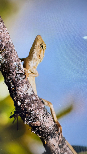
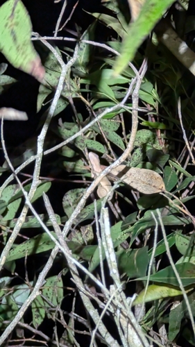
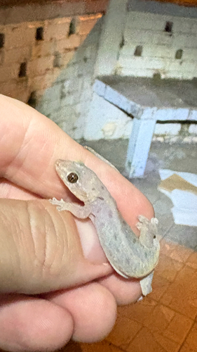
Research-grade observations from iNaturalist (within ~15 mi).
Events
Gallery
Sources
- • Wikipedia
- • Wikidata
- • iNaturalist
- • Open-Meteo / sunrise-sunset.org
- • Wikipedia Pageviews API