Browse / Mauritius / Plaines Wilhems / Ebene Cybercity
Ebene Cybercity
Plaines Wilhemssuburb

Ebene Cybercity
Demographic figures from Statistics Mauritius. Overview below cites Wikipedia and may reference a different year.
City facts
Overview
Ébène is a suburb of Quatre Bornes, Mauritius, 15 kilometres (9.3 mi) south of the capital, Port Louis. Construction began in November 2001, with the suburb being promoted as a new information technology hub for Mauritius and as a link between African and Asian markets. The aim was to create a hi-tech office area in order to dynamise the country. As a result, it is also referred to as Ébène Cybercity or Cyber City.
Read more on WikipediaHistory & geography
Geography
Coordinates & boundaries from the US Census TIGER/Line shapefiles.
Climate
Air quality
Walkability
Amenities nearby
Wildlife & biodiversity
Most-observed species
- Red-whiskered BulbulPycnonotus jocosus (Linnaeus, 1758) · Aves421
- Common MynaAcridotheres tristis (Linnaeus, 1766) · Aves413
- Red FodyFoudia madagascariensis (Linnaeus, 1766) · Aves402
- Zebra DoveGeopelia striata (Linnaeus, 1766) · Aves355
- House SparrowPasser domesticus (Linnaeus, 1758) · Aves322
- Village WeaverPloceus cucullatus (Statius Muller, 1776) · Aves308
- Mauritius Gray White-eyeZosterops mauritianus (Gmelin, 1789) · Aves231
- Madagascar turtle-doveNesoenas picturatus (Temminck, 1813) · Aves228
Citizen-science & research observations from the Global Biodiversity Information Facility (GBIF).
Earthquake history
Events from the USGS Earthquake Catalog (global) (FDSN Event Web Service).
Photos
Sights & places nearby
Notable people from here


People born within ~10 km, from Wikidata (CC0). Click any name for their Wikipedia article.
Nearby places in Plaines Wilhems
Geography & sun
Elevation, sunrise/sunset and daylight from Open-Meteo. Solar climatology from NASA POWER.
Nearby airports
Public attention
Pageview totals from the Wikimedia Pageviews API.
Books about this place
Recent natural events nearby
Ground air-quality sensors
Recently spotted species
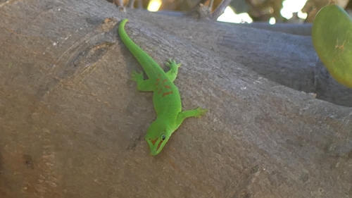
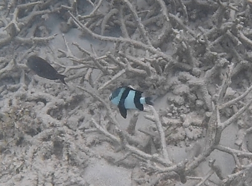
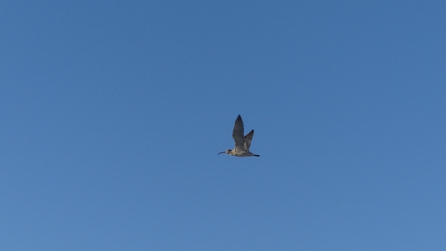
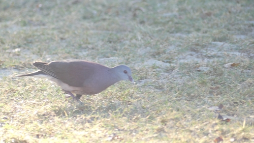
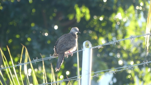
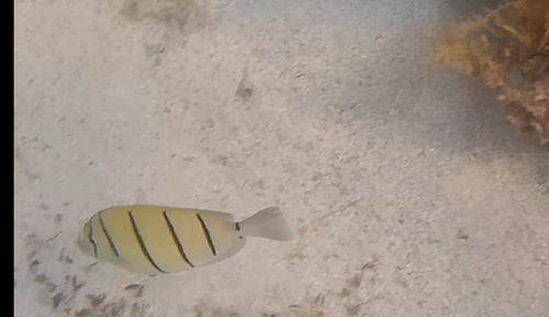
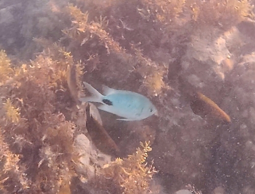
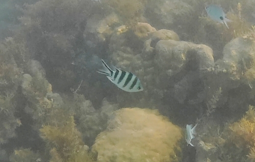
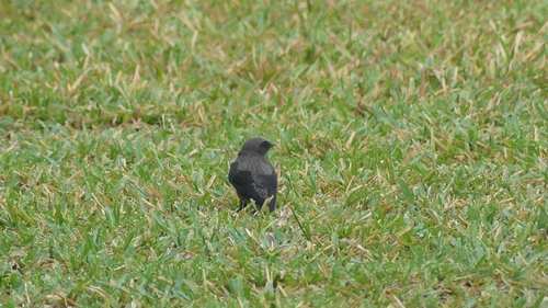
Research-grade observations from iNaturalist (within ~15 mi).
Events
Gallery
Sources
- • Wikipedia
- • Wikidata
- • USGS Earthquake Catalog (global feed)
- • GBIF (Global Biodiversity Information Facility)
- • iNaturalist
- • Open-Meteo / sunrise-sunset.org
- • Wikipedia Pageviews API