Browse / Mauritius / Rivière du Rempart / Roches Noires
Roches Noires
Rivière du Rempartvillage
No image yet
Total population
5,700
Coordinates-20.11°, 57.72°
Demographic figures from Statistics Mauritius. Overview below cites Wikipedia and may reference a different year.
Loading additional data from public sources…0 / 11
CensusWikipediaWeatherPlacesPeopleEnvironmentHealth & SchoolsRelatedGeography & CultureLive MonitoringEvents & Gallery
0% completeCity facts
Overview
Roches Noire is a village located in the Rivière du Rempart district on the east coast of Mauritius.
Read more on WikipediaHistory & geography
History
La Cave Madame is a significant location for locals as it was formerly used by enslaved peoples as a hiding place.
Excerpted from the corresponding Wikipedia article (CC BY-SA).
Geography
Latitude
-20.1111
Longitude
57.7182
Water area
—
Coordinates & boundaries from the US Census TIGER/Line shapefiles.
Climate
Air quality
Walkability
Amenities nearby
Wildlife & biodiversity
Earthquake history
Photos
Sights & places nearby
Notable people from here
É
Édouard Maunick
Mauritian writer (1931–2021)

Abu Kasenally
Mauritian physician and politician (1941-2026)
N
Napoléon de Lastelle
A
Aatish Lubah
badminton player

Dharam Gokhool
president of Mauritius since 2024
People born within ~10 km, from Wikidata (CC0). Click any name for their Wikipedia article.
Geography & sun
Nearby airports
Public attention
Books about this place
Recent natural events nearby
Ground air-quality sensors
Recently spotted species
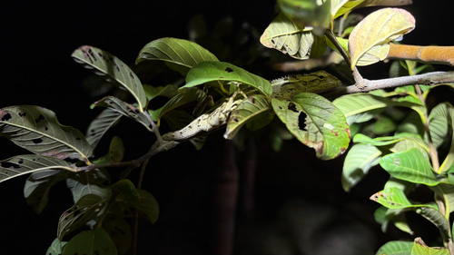
Indian Garden Lizard
Calotes versicolor
Seen 2026-09-24
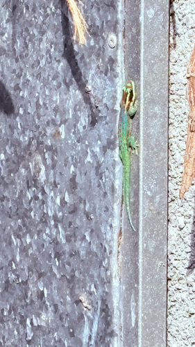
Ornate Day Gecko
Phelsuma ornata
Seen 2026-09-22
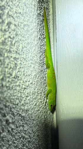
Madagascar Giant Day Gecko
Phelsuma grandis
Seen 2026-09-21
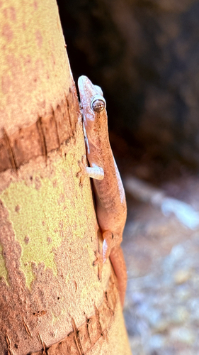
Asian House Gecko
Hemidactylus frenatus
Seen 2026-09-21
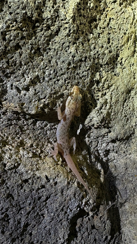
Spotted House Gecko
Hemidactylus parvimaculatus
Seen 2026-09-21
Research-grade observations from iNaturalist (within ~15 mi).
Events
Gallery
Sources
- • Wikipedia
- • Wikidata
- • iNaturalist