Browse / Mauritius / Savanne / Surinam
Surinam
Savannetown
No image yet
Total population
10,500
Elevation23 m
Coordinates-20.51°, 57.51°
Demographic figures from Statistics Mauritius. Overview below cites Wikipedia and may reference a different year.
Loading additional data from public sources…0 / 11
CensusWikipediaWeatherPlacesPeopleEnvironmentHealth & SchoolsRelatedGeography & CultureLive MonitoringEvents & Gallery
0% completeCity facts
Elevation
23 m
Facts from Wikidata (CC0).
Overview
Surinam is a village located in the Savanne District of Mauritius. According to the 2011 census by Statistics Mauritius, the population was 10,507.
Read more on WikipediaHistory & geography
Geography
Latitude
-20.5123
Longitude
57.5097
Water area
—
Coordinates & boundaries from the US Census TIGER/Line shapefiles.
Climate
Air quality
Walkability
Amenities nearby
Wildlife & biodiversity
Earthquake history
Photos
Sights & places nearby
Notable people from here
Nearby places in Savanne
Geography & sun
Elevation
82 ft (25 m)
Avg solar (kWh/m²/day)
5.56
Annual solar (kWh/m²)
2,029
Elevation, sunrise/sunset and daylight from Open-Meteo. Solar climatology from NASA POWER.
Nearby airports
Public attention
Wikipedia views (last 30 days)
127
Avg daily Wikipedia views
4
Attention level
Obscure
Pageview totals from the Wikimedia Pageviews API.
Books about Surinam

Search results from Open Library.
Recent natural events nearby
Ground air-quality sensors
Recently spotted species
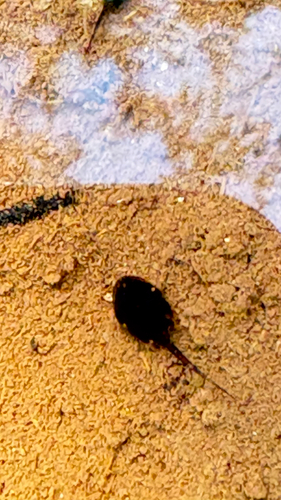
Guttural Toad
Sclerophrys gutturalis
Seen 2026-09-23
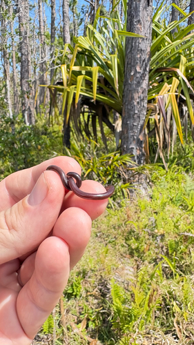
Brahminy Blindsnake
Indotyphlops braminus
Seen 2026-09-23
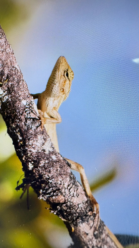
Indian Garden Lizard
Calotes versicolor
Seen 2026-09-23
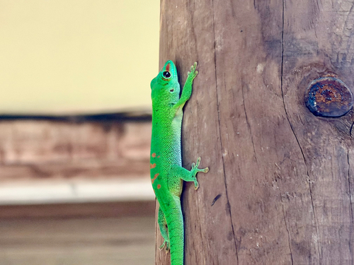
Madagascar Giant Day Gecko
Phelsuma grandis
Seen 2026-09-20
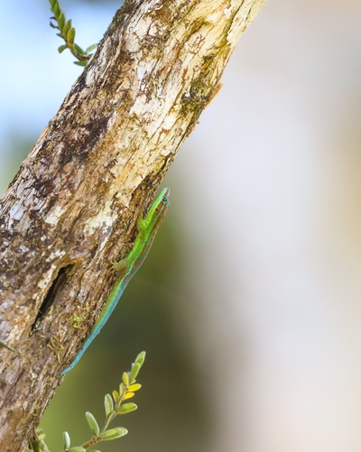
Bluetail Day Gecko
Phelsuma cepediana
Seen 2026-09-19
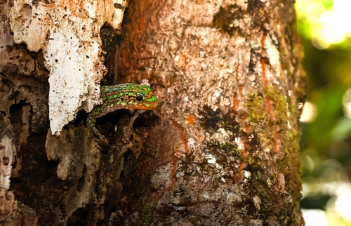
Upland forest day gecko
Phelsuma rosagularis
Seen 2026-09-19
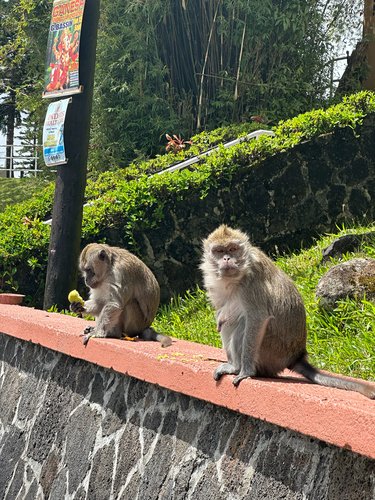
Long-tailed Macaque
Macaca fascicularis
Seen 2026-09-16
Research-grade observations from iNaturalist (within ~15 mi).
Events
Gallery
Sources
- • Wikipedia
- • Wikidata
- • iNaturalist
- • Open-Elevation
- • Open-Meteo / sunrise-sunset.org
- • Wikipedia Pageviews API
- • Open Library