Browse / Malawi / Northern / Chintheche
Chintheche
Northerntown
Demographic figures from National Statistical Office (Malawi). Overview below cites Wikipedia and may reference a different year.
City facts
Facts from Wikidata (CC0).
Overview
Chintheche is a settlement in the Nkhata Bay District of the Northern Region of Malawi. It is on the shore of Lake Malawi, and is approximately 40 kilometres (25 mi) south of Nkhata Bay. The town is on the main road (M5) between Nkhata Bay and Nkhotakota.
Read more on WikipediaHistory & geography
History
Chintheche Town was until about 1950 the headquarters of Nkhata Bay district then called West Nyasa. In the 1970s, the government of Hastings Banda planned to develop Chintheche into a new town of 25000 people, with a new harbour and a paper-processing plant. To accommodate the new development, residents of Chintheche were displaced further inland. The scheme would have created employment for thousands of people, but for the most part did not come to fruition; however, the displaced residents though not officially allowed to return to their lakeshore homes, actually returned at the revert to multiparty democracy in the early 1990s. Prominent people to have come from Chintheche Town or its hinterland include Elliot Kamwana, Yesaya Zerenji Mwasi and Clements Kadalie
Excerpted from the corresponding Wikipedia article (CC BY-SA).
Geography
Coordinates & boundaries from the US Census TIGER/Line shapefiles.
Climate
Air quality
Walkability
Amenities nearby
Wildlife & biodiversity
Earthquake history
Photos
Sights & places nearby
Notable people from here
Nearby places in Northern
Geography & sun
Elevation, sunrise/sunset and daylight from Open-Meteo. Solar climatology from NASA POWER.
Nearby airports
Public attention
Pageview totals from the Wikimedia Pageviews API.
Books about this place
Recent natural events nearby
Ground air-quality sensors
Recently spotted species
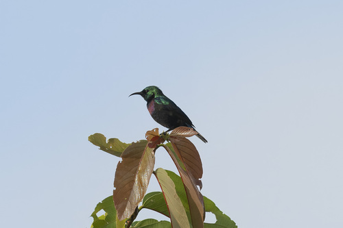
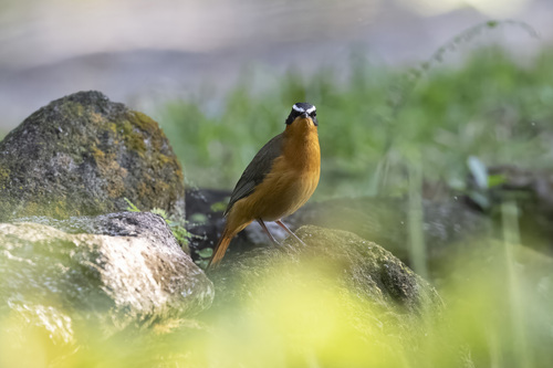
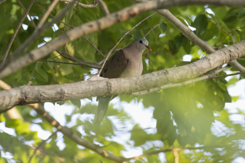
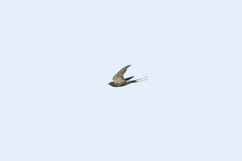
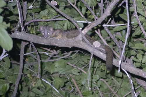
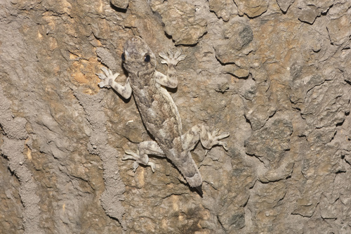
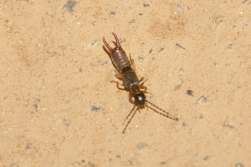
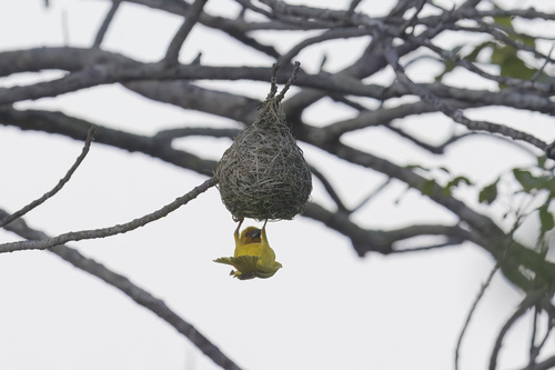
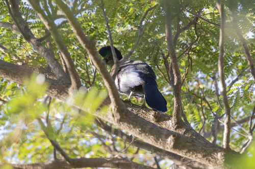
Research-grade observations from iNaturalist (within ~15 mi).
Events
Gallery
Sources
- • Wikipedia
- • Wikidata
- • iNaturalist
- • Open-Meteo / sunrise-sunset.org
- • Wikipedia Pageviews API