Browse / Malawi / Northern / Ekwendeni
Ekwendeni
Northerntown

Ekwendeni
Demographic figures from National Statistical Office (Malawi). Overview below cites Wikipedia and may reference a different year.
City facts
Overview
Ekwendeni is a town in the Northern Region of Malawi. It lies about 20 kilometres (12 mi) from Mzuzu, in the Mzimba District.
Read more on WikipediaHistory & geography
History
Ekwendeni was started by Scottish missionaries; in 1889 Walter Angus Elmslie opened a mission station at Ekwendeni. It has one of the oldest churches in Malawi belonging to the Church of Central Africa Presbyterian (CCAP), the local equivalent of the Church of Scotland. In the 1920s, Jack and Mamie Martin were missionaries to Bandawe and Ekwendeni. Mamie created classes for girls to be educated when parents were known for preferring to educate their sons. Mamie died in 1928 but her family later created the Scottish charity called the Mamie Martin Fund which subsidises the education of girls in northern Malawi. The general hospital began in the 1890s as a ministry of the Free Church of Scotland. Ekwendeni Hospital is operated by the Church of Central Africa Presbyterian – Synod of Livingstonia, in partnership with the Presbyterian Church (USA), the Church of Scotland and the Presbyterian Church of Ireland. Ekwendeni Girls’ Secondary School was opened by the Synod in 1975. The first woman to be a minister in Malawi was Reverend Martha Mwale who had been a political prisoner for several years. She was the moderator for the Edwendeni Synod in 2002 and 2003.
Excerpted from the corresponding Wikipedia article (CC BY-SA).
Geography
Coordinates & boundaries from the US Census TIGER/Line shapefiles.
Climate
Air quality
Walkability
Amenities nearby
Wildlife & biodiversity
Earthquake history
Photos
Sights & places nearby
Notable people from here
Geography & sun
Elevation, sunrise/sunset and daylight from Open-Meteo. Solar climatology from NASA POWER.
Nearby airports
Public attention
Pageview totals from the Wikimedia Pageviews API.
Books about this place
Recent natural events nearby
Ground air-quality sensors
Recently spotted species
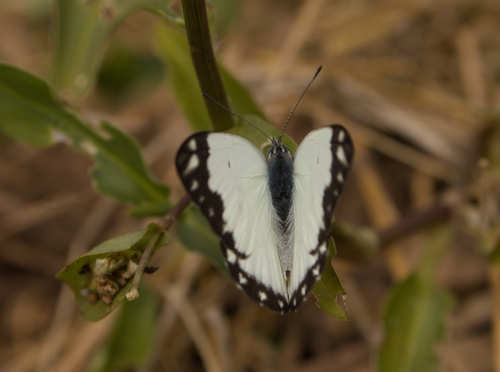
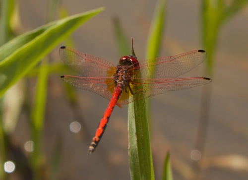
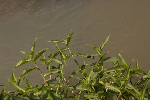
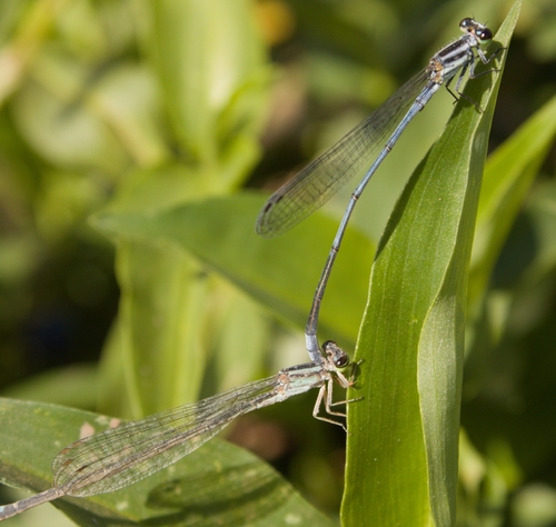
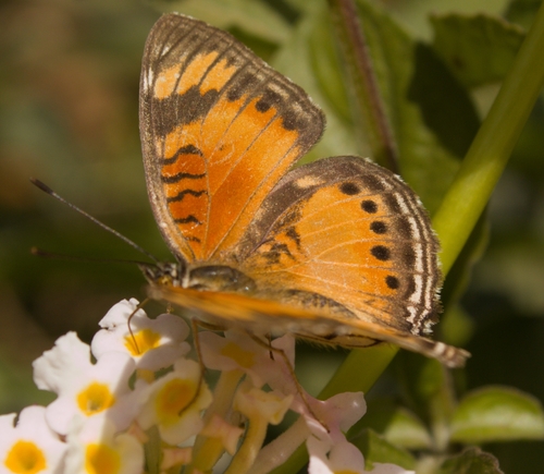
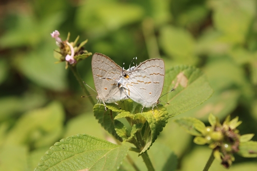
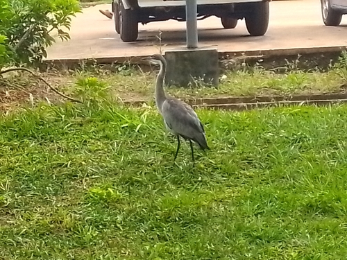
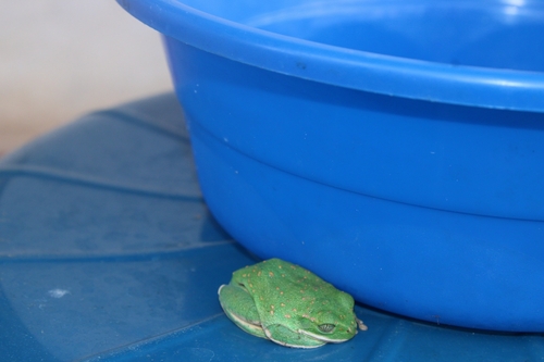
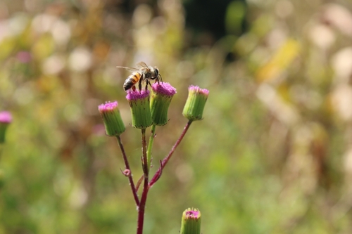
Research-grade observations from iNaturalist (within ~15 mi).
Events
Gallery
Sources
- • Wikipedia
- • iNaturalist
- • Open-Meteo / sunrise-sunset.org
- • Wikipedia Pageviews API