Browse / Mexico / Sonora / Agua Prieta
Agua Prieta
Sonoracity
Total population
91,029
Founded
1899
Air quality index
Demographic figures from INEGI. Overview below cites Wikipedia and may reference a different year.
City facts
Facts from Wikidata (CC0).
Overview
Agua Prieta is a city in the northeastern corner of the Mexican state of Sonora. It stands on the Mexico–U.S. border, adjacent to the town of Douglas, Arizona. It serves as the municipal seat for in the municipality of the same name, which covers an area of 3,631.65 km2. In the 2010 census, the city had a population of 79,138 people, making it the seventh-largest community in the state, with a literacy rate of 96.3%.
Read more on WikipediaHistory & geography
History
The city of Agua Prieta arose at the end of the 19th century as railroads were built between Douglas, Arizona, and Nacozari, Sonora, to transport minerals and goods. As a result, the first settlers of the city, then just a few blocks, were those employed by the U.S. mining company Phelps Dodge Corporation, which was based in Douglas, Arizona. One can say that the town was "founded" in 1899, but it was not until a "contract" was made in 1903 between officials and private citizens, to the name Camou, that area "pertaining" to those citizens was made a Commissary of the municipality of Fronteras. Agua Prieta did not become an independent seat of a municipality, with its current name and location, until August 28, 1916. Rodolfo L. Márquez was the new municipality's first president. It rose to the status of villa (town) on May 8, 1933, and it was "officially" placed in its current category of city relatively recently, on November 6, 1942.
Geography
The climate is cold semi-arid (Köppen: BSk). In a latitude over the geographic subtropics, located in a plateau and in the interior of the continent gives a cold winter but at the same time a climatic pattern often dry and with great thermal amplitude during the day. And on the other hand the summer is very hot due to the absence of cloud cover and the air dry with average in the afternoon well above 30 °C. Most of the time there is no precipitation, but a considerable amount of rain falls between July and August.
Excerpted from the corresponding Wikipedia article (CC BY-SA).
Geography
Coordinates & boundaries from the US Census TIGER/Line shapefiles.
Climate
Air quality
Current readings from Open-Meteo Air Quality API (Copernicus CAMS European reanalysis).
Walkability
Amenities nearby
Wildlife & biodiversity
Most-observed species
- Eurasian Collared-DoveStreptopelia decaocto (Frivaldszky, 1838) · Aves356
- Mourning DoveZenaida macroura (Linnaeus, 1758) · Aves317
- White-winged DoveZenaida asiatica (Linnaeus, 1758) · Aves301
- Turkey VultureCathartes aura (Linnaeus, 1758) · Aves278
- Rock PigeonColumba livia J.F.Gmelin, 1789 · Aves254
- Great-tailed GrackleQuiscalus mexicanus (Gmelin, 1788) · Aves251
- House SparrowPasser domesticus (Linnaeus, 1758) · Aves247
- Northern MockingbirdMimus polyglottos (Linnaeus, 1758) · Aves196
Citizen-science & research observations from the Global Biodiversity Information Facility (GBIF).
Earthquake history
Most recent
- M 2.6 — 2021-09-2134 km SSW of Playas, New Mexico
- M 2.9 — 2021-09-2033 km SSW of Playas, New Mexico
- M 3.3 — 2021-08-1221 km SSW of Playas, New Mexico
- M 3.3 — 2021-08-0537 km SSW of Playas, New Mexico
- M 3.6 — 2021-08-0524 km SSE of Animas, New Mexico
- M 2.5 — 2021-08-0533 km SSW of Playas, New Mexico
Events from the USGS Earthquake Catalog (global) (FDSN Event Web Service).
Photos
Sights & places nearby
Notable people from here


People born within ~10 km, from Wikidata (CC0). Click any name for their Wikipedia article.
Nearby places in Sonora
- El Rusbayo27.3 mi away · pop. 187
- Colonia Morelos39.5 mi away · pop. 265
- La Mora62.3 mi away · pop. 218
- El Papalotito63.9 mi away
- San Miguelito65.6 mi away · pop. 456
- Nacozari de García66.4 mi away · pop. 15,000
- Bavispe68.7 mi away · pop. 701
- Jitosorachi (De Montoya y Ruiz)73.8 mi away
- Heroica Nogales82.6 mi away · pop. 261,137
- Tierras Prietas83.1 mi away
- Rancho Nuevo92.8 mi away
- Magdalena de Kino96.8 mi away · pop. 26,605
Geography & sun
Elevation, sunrise/sunset and daylight from Open-Meteo. Solar climatology from NASA POWER.
Nearby airports
Public attention
Pageview totals from the Wikimedia Pageviews API.
Books about Agua Prieta

Search results from Open Library.
Recent natural events nearby
- Hummingbird Wildfire, Catron, New MexicoWildfires · 2026-04-21 · 151 mi
- Bear Wildfire, Catron, New MexicoWildfires · 2026-06-09 · 202 mi
- AFM - Hazen Wildfire, Maricopa, ArizonaWildfires · 2026-05-02 · 227 mi
Wildfires, storms and other events from NASA EONET (last 12 months, within 250 mi).
Ground air-quality sensors
Recently spotted species
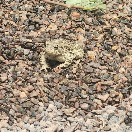
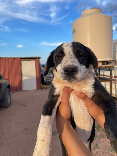
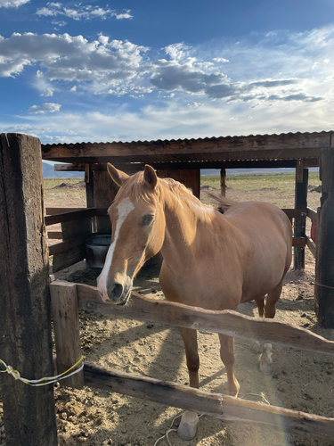
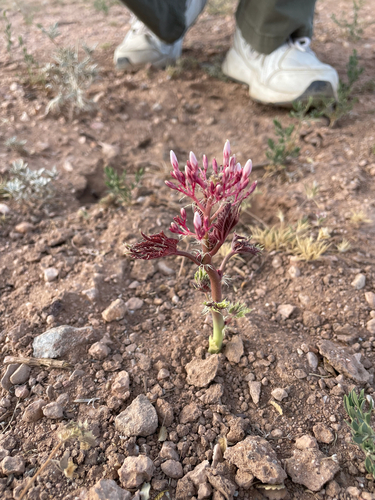
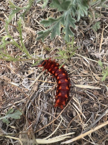
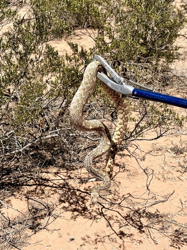
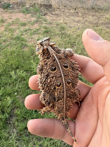
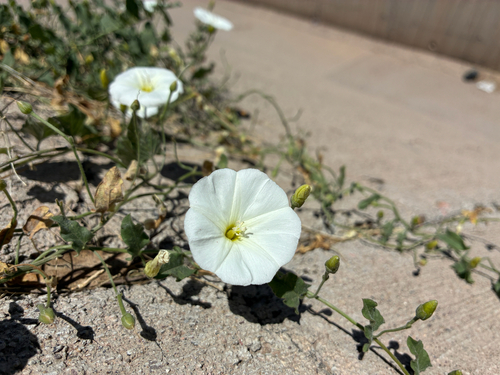
Research-grade observations from iNaturalist (within ~15 mi).
Events
Gallery
Geotagged photos within ~6 miles of Agua Prieta, from Wikimedia Commons contributors.
 1.2 mi
 1.3 mi
 1.3 mi
 1.3 mi
 1.3 mi
 1.3 mi
.jpg) 1.3 mi
1.3 mi 1.4 mi
 1.4 mi
 1.4 mi
 1.4 mi
 1.4 mi
 1.4 mi
 1.4 mi
 1.4 mi
 1.4 mi
 1.4 mi
 1.4 mi
.jpg) 1.4 mi
1.4 mi.jpg) 1.4 mi
1.4 mi.jpg) 1.4 mi
1.4 mi.jpg) 1.4 mi
1.4 mi.jpg) 1.4 mi
1.4 mi.jpg) 1.4 mi
1.4 miPhotos via Wikimedia Commons — see each image page for license & attribution.
Official Identifiers
INEGI — Mexican National Statistics
- Clave INEGI
- 26002
- State prefix
- 26
- Population (Wikidata)
- 91,929
- Wikidata
- Q1952842
Claves de municipios via Wikidata P3801
Sources
- • Wikipedia
- • Wikimedia Commons
- • Wikidata
- • Open-Meteo Air Quality (CAMS)
- • USGS Earthquake Catalog (global feed)
- • GBIF (Global Biodiversity Information Facility)
- • iNaturalist
- • Open-Meteo / sunrise-sunset.org
- • Wikipedia Pageviews API
- • Open Library
- • NASA EONET
- • INEGI — Mexican national statistics, municipality ID via Wikidata P3801 (clave INEGI, state prefix, municipality code)
- • INEGI — Mexican National Statistics — Claves de municipios via Wikidata P3801