Browse / Mexico / Mexico City / Axotla
Axotla
Mexico Cityvillage
Demographic figures from INEGI. Overview below cites Wikipedia and may reference a different year.
City facts
Overview
Set in Mexico City, Mexico, Axotla is recorded in open geodata as a village. No reliable population estimate is published for this entry in the open data we rely on. Its coordinates of 19.358°, -99.175° place it in the tropical zone of the northern hemisphere. Based on its tropical position, residents likely encounter warm temperatures throughout the year with pronounced wet and dry seasons. The location receives about 2,011 kWh/m² of solar irradiance per year and sunshine for roughly 79% of daylight hours. The remainder of this page draws on open public data to describe the area's demographics, climate, environment and nearby amenities.
Summary composed automatically from structured open data on this page. See our Terms for details.
History & geography
Geography
Coordinates & boundaries from the US Census TIGER/Line shapefiles.
Climate
Air quality
Walkability
Amenities nearby
Wildlife & biodiversity
Most-observed species
- Great-tailed GrackleQuiscalus mexicanus (Gmelin, 1788) · Aves25,662
- House SparrowPasser domesticus (Linnaeus, 1758) · Aves25,018
- House FinchHaemorhous mexicanus (P.L.Statius Müller, 1776) · Aves25,014
- Inca DoveColumbina inca (R.Lesson, 1847) · Aves24,249
- Bewick's WrenThryomanes bewickii (Audubon, 1827) · Aves17,518
- Berylline HummingbirdSaucerottia beryllina (Deppe, 1830) · Aves15,861
- Canyon TowheeMelozone fusca (Swainson, 1827) · Aves14,191
- Rock PigeonColumba livia J.F.Gmelin, 1789 · Aves13,254
Citizen-science & research observations from the Global Biodiversity Information Facility (GBIF).
Earthquake history
Most recent
- M 2.9 — 2024-09-262 km N of Álvaro Obregón, Mexico
- M 3.2 — 2023-05-113 km SSE of Colonia Nativitas, Mexico
- M 3.1 — 2019-07-173 km ESE of Venustiano Carranza, Mexico
- M 4.1 — 2013-05-0612 km NW of San Pedro Benito Juárez, Mexico
- M 3.2 — 2008-12-135 km E of San Martín Ahuatepec, Mexico
- M 3.2 — 2008-10-052 km ESE of Yecapixtla, Mexico
Events from the USGS Earthquake Catalog (global) (FDSN Event Web Service).
Photos
Sights & places nearby
Notable people from here


People born within ~10 km, from Wikidata (CC0). Click any name for their Wikipedia article.
Nearby places in Mexico City
- Tlacopac1.5 mi away
- Tizapán2.3 mi away
- Ciudad Universitaria2.6 mi away
- Tetelpan3.5 mi away
- Santa Fe4.3 mi away
- Santa Lucía Xantepec5 mi away
- Mexico City5.8 mi away · pop. 9,209,944
- San Mateo Tlaltenango6.9 mi away
- Santa Rosa7.7 mi away · pop. 818
- Lomas de Tepemecatl9.3 mi away · pop. 4,058
- San Miguel Ajusco9.8 mi away · pop. 37,282
- San Lorenzo Acopilco10 mi away · pop. 26,042
Geography & sun
Elevation, sunrise/sunset and daylight from Open-Meteo. Solar climatology from NASA POWER.
Nearby airports
Public attention
Pageview totals from the Wikimedia Pageviews API.
Books about this place
Recent natural events nearby
Ground air-quality sensors
Recently spotted species
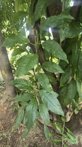
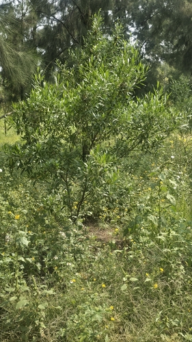
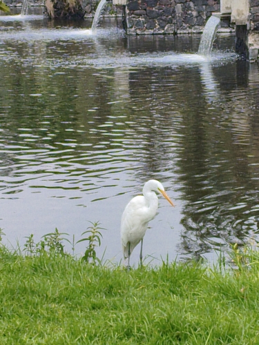
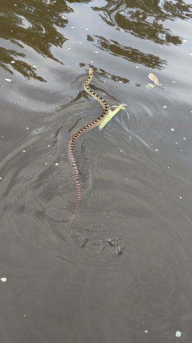
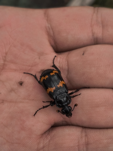
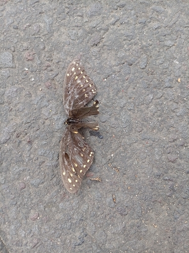
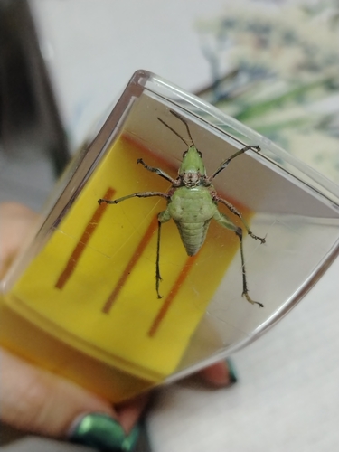
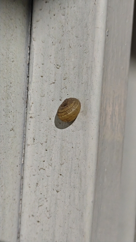
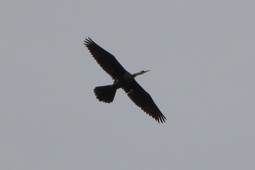
Research-grade observations from iNaturalist (within ~15 mi).
Events
Gallery
Sources
- • Wikidata
- • USGS Earthquake Catalog (global feed)
- • GBIF (Global Biodiversity Information Facility)
- • iNaturalist
- • Open-Meteo / sunrise-sunset.org
- • Wikipedia Pageviews API