Browse / Mexico / Morelos / Cuernavaca
Cuernavaca
Moreloscity

Cuernavaca
Total population
341,029
Founded
1714
Air quality index
Demographic figures from INEGI. Overview below cites Wikipedia and may reference a different year.
City facts
Sister cities
Facts from Wikidata (CC0).
Overview
Cuernavaca is the capital and largest city of the state of Morelos in Mexico. Along with Chalcatzingo, it is likely one of the origins of the Mesoamerican civilization. Olmec works of art, displayed in the Museum of Anthropology in Mexico City, were found in the Gualupita III archeological site.
Read more on WikipediaHistory & geography
History
Burials dated to c. 1000 BCE have been found in Gualupita, Morelos, in the north of the city. The first major culture to inhabit this area was the Tlahuica, a Nahua people whose main settlement was where the city of Cuernavaca is today. The Tlahuicas have inhabited this area at least since the 12th century. The first incursions south into the area by peoples of the Valley of Mexico occurred in the 12th century, when a lord named King Xolotl (ruler of Tetzcoco) conquered most of the Valley of Mexico. An allied Chichimeca tribe also moved south into what is now northern Morelos state, making Techintecuitla lord of the Cuauhnahuac (as they called the city) area, with the Tlahuicas concentrated in the nearby towns of Yecapixtla and Yautecatle. According to the Tlatelolco Annals, in 1365, the lord of Cuauhnahuac, Macuilxochitl, tried to conquer lands as far as the Valley of Mexico, but was met by the lord of Chalco, Tzalcualtitlan, with similar ambitions. Cuauhnahuac grew to rule over most of what is now the western portion of the state of Morelos. The first Aztec emperor, Acamapichtli, began to expand his empire to the south of the Valley of Mexico and beyond in the 1370s. His successor, Huitzilihuitl, was eager to press on into what is now Morelos state because of the cotton grown there, it was called Tlalnahuatl at that time. He asked to marry the daughter of the ruler of Tlalnahuatl but was rejected. That rejection started a war that ended with an Aztec victory in 1396. Huitziliuitl then married the princess and Moctezuma I was born of the union. Credit for the conquest of Cuernavaca is given to Acamapichtli in the Mendocino Codex, but later writings cite Itzcóatl, or even Moctezuma I, as the conqueror. The conquered dominion, Tlalnahuac, was roughly the size of the…
Geography
The municipality is located between the Trans-Mexican Volcanic Belt in the north and the Sierra Madre del Sur in the south, in a sub-mountain range named the Sierra del Chichinautzin. The municipality contains an area of ; is dedicated to agriculture, for fishing, is developed, and is forest. The average altitude is above sea level, varying between . The highest elevations are in the east and north. During the rainy season, rivers are formed in the ravines of Minaltepec, Ajomulco, Los Caldos (with the San Anton Falls), Los Pocitos, 'El Pollo and El Chiflón; together they form the Cuernavaca River. The riverbeds of Tepoztitlán and Mexicana form the Río Tembembe. Other streams are in the gulch of las Canoas (which crosses Tetela del Monte and joins the Atzingo), the Tecolote (which forms the San Anton waterfall), the Amanalco (which drains in the Río Apatlaco), the Otates, the Santa Úrsula (which drains into the Río Tetlama), and the Muerto (which begins in Ahuatepec and crosses Flores Magón). The springs in Cuernavaca are: Los Atzingo, el túnel de Santa María, Sanguijuela, Huitzilac, Axomulco, and Chapultepec. The municipality is located in the Amacuzac River Basin.
Excerpted from the corresponding Wikipedia article (CC BY-SA).
Geography
Coordinates & boundaries from the US Census TIGER/Line shapefiles.
Climate
Air quality
Current readings from Open-Meteo Air Quality API (Copernicus CAMS European reanalysis).
Walkability
Amenities nearby
Wildlife & biodiversity
Most-observed species
- House FinchHaemorhous mexicanus (P.L.Statius Müller, 1776) · Aves2,880
- Barn SwallowHirundo rustica Linnaeus, 1758 · Aves2,789
- Brown-backed SolitaireMyadestes occidentalis Stejneger, 1882 · Aves2,516
- Inca DoveColumbina inca (R.Lesson, 1847) · Aves2,443
- Rufous-backed RobinTurdus rufopalliatus Lafresnaye, 1840 · Aves2,339
- Acorn WoodpeckerMelanerpes formicivorus (Swainson, 1827) · Aves2,161
- Gray Silky-flycatcherPtilogonys cinereus Swainson, 1827 · Aves2,142
- Black VultureCoragyps atratus (Bechstein, 1793) · Aves2,093
Citizen-science & research observations from the Global Biodiversity Information Facility (GBIF).
Earthquake history
Most recent
- M 5 — 2025-02-283 km NE of Pololcingo, Mexico
- M 2.9 — 2024-09-262 km N of Álvaro Obregón, Mexico
- M 5.7 — 2023-12-0712 km SSW of Huehuetlan el Chico, Mexico
- M 4 — 2023-09-145 km W of Tequicuilco, Mexico
- M 3.2 — 2023-05-113 km SSE of Colonia Nativitas, Mexico
- M 3.1 — 2019-07-173 km ESE of Venustiano Carranza, Mexico
Events from the USGS Earthquake Catalog (global) (FDSN Event Web Service).
Photos
Sights & places nearby
Notable people from here


People born within ~10 km, from Wikidata (CC0). Click any name for their Wikipedia article.
Nearby places in Morelos
- San Miguel Acapantzingo1.3 mi away
- Lomas de Mejía2.9 mi away
- Conjunto Urbano Campo Verde3.1 mi away
- Tetela Del Monte3.3 mi away · pop. 1,347
- Ocotepec3.4 mi away
- Chamilpa3.4 mi away · pop. 1,360
- Lomas de Santa Clara3.5 mi away
- Santa Úrsula3.7 mi away · pop. 1,069
- Pueblo Viejo3.8 mi away
- Lomas del Carril4 mi away
- Tres de Mayo4.1 mi away · pop. 13,396
- Tres de Mayo4.1 mi away · pop. 17,966
Geography & sun
Elevation, sunrise/sunset and daylight from Open-Meteo. Solar climatology from NASA POWER.
Nearby airports
Public attention
Pageview totals from the Wikimedia Pageviews API.
Books about Cuernavaca

Search results from Open Library.
Recent natural events nearby
Ground air-quality sensors
Recently spotted species
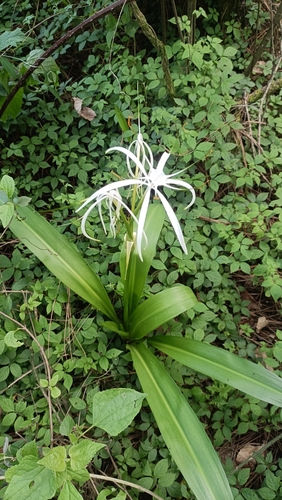
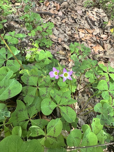
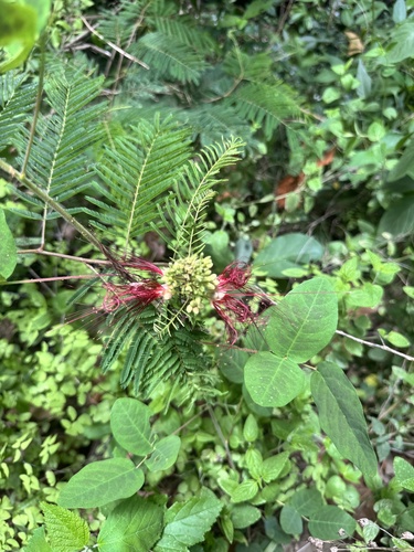
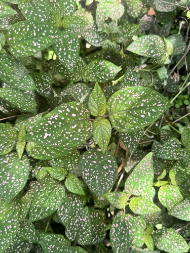
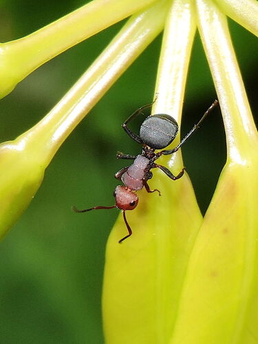
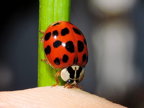
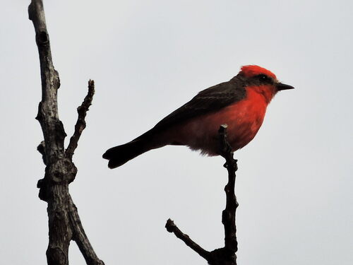
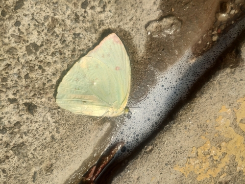
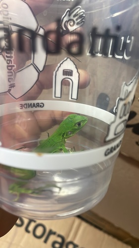
Research-grade observations from iNaturalist (within ~15 mi).
Events
Gallery
Geotagged photos within ~6 miles of Cuernavaca, from Wikimedia Commons contributors.


.jpg)


Photos via Wikimedia Commons — see each image page for license & attribution.
Official Identifiers
INEGI — Mexican National Statistics
- Clave INEGI
- 17007
- State prefix
- 17
- Wikidata
- Q5793859
Claves de municipios via Wikidata P3801
Sources
- • Wikipedia
- • Wikimedia Commons
- • Wikidata
- • Open-Meteo Air Quality (CAMS)
- • USGS Earthquake Catalog (global feed)
- • GBIF (Global Biodiversity Information Facility)
- • iNaturalist
- • Open-Meteo / sunrise-sunset.org
- • Wikipedia Pageviews API
- • Open Library
- • INEGI — Mexican national statistics, municipality ID via Wikidata P3801 (clave INEGI, state prefix, municipality code)
- • INEGI — Mexican National Statistics — Claves de municipios via Wikidata P3801