Browse / Mexico / Tabasco / Francisco Trujillo Gurría
Francisco Trujillo Gurría
Tabascovillage
Demographic figures from INEGI. Overview below cites Wikipedia and may reference a different year.
City facts
Overview
Set in Tabasco, Mexico, Francisco Trujillo Gurría is recorded in open geodata as a village. Up-to-date population figures for this locality are not available in the open datasets we monitor. Coordinates of 18.213°, -93.190° situate Francisco Trujillo Gurría in the tropical zone of the northern hemisphere. The location receives about 1,839 kWh/m² of solar irradiance per year and sunshine for roughly 72% of daylight hours. Based on its tropical position, residents likely encounter warm temperatures throughout the year with pronounced wet and dry seasons. Additional figures on demographics, climate, geography and points of interest appear in the sections that follow, all drawn from open public datasets.
Summary composed automatically from structured open data on this page. See our Terms for details.
History & geography
Geography
Coordinates & boundaries from the US Census TIGER/Line shapefiles.
Climate
Air quality
Walkability
Amenities nearby
Wildlife & biodiversity
Most-observed species
- Great KiskadeePitangus sulphuratus (Linnaeus, 1766) · Aves136
- Great-tailed GrackleQuiscalus mexicanus (Gmelin, 1788) · Aves128
- White-winged DoveZenaida asiatica (Linnaeus, 1758) · Aves104
- Melodious BlackbirdDives dives (Deppe, 1830) · Aves93
- Golden-fronted WoodpeckerMelanerpes aurifrons (Wagler, 1829) · Aves91
- Roadside HawkRupornis magnirostris (Gmelin, 1788) · Aves90
- Clay-colored ThrushTurdus grayi Bonaparte, 1838 · Aves89
- Brown JayPsilorhinus morio (Wagler, 1829) · Aves87
Citizen-science & research observations from the Global Biodiversity Information Facility (GBIF).
Earthquake history
Most recent
- M 4 — 2022-09-2017 km WSW of Chontalpa, Mexico
- M 4.1 — 2021-05-3013 km SSE of Huapacal 1ra. Sección, Mexico
- M 4 — 2019-08-3110 km S of Simón Sarlat, Mexico
- M 4.1 — 2014-01-167 km E of Vicente Guerrero, Mexico
- M 4 — 2013-01-256 km ESE of Cucuyulapa Primera Sección, Mexico
- M 4.3 — 2012-11-1913 km W of Nuevo Volcán Chichonal, Mexico
Events from the USGS Earthquake Catalog (global) (FDSN Event Web Service).
Photos
Sights & places nearby
Notable people from here


People born within ~10 km, from Wikidata (CC0). Click any name for their Wikipedia article.
Nearby places in Tabasco
- Oriente 5ta. Sección (La Candelaria)1.7 mi away
- Oriente 3ra. Sección1.7 mi away
- Ayapa2.2 mi away
- Benito Juárez Segunda Sección3.2 mi away · pop. 3,070
- Chichicapa3.4 mi away · pop. 7,700
- Lagartera3.7 mi away · pop. 3,258
- Comalcalco4 mi away · pop. 43,035
- Huimango 2da. Sección (La Mona)4.2 mi away
- Cupilco4.5 mi away
- Iquinuapa4.7 mi away · pop. 3,134
- Reyes Hernández Segunda Sección4.8 mi away · pop. 4,101
- Huimango 3ra. Sección (Los Cerros)5.1 mi away
Geography & sun
Elevation, sunrise/sunset and daylight from Open-Meteo. Solar climatology from NASA POWER.
Nearby airports
Public attention
Books about Francisco Trujillo Gurría
Search results from Open Library.
Recent natural events nearby
Ground air-quality sensors
Recently spotted species
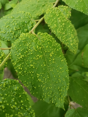
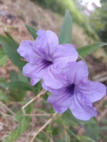
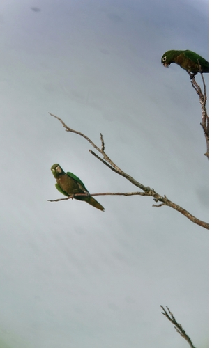
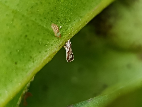
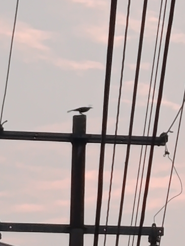
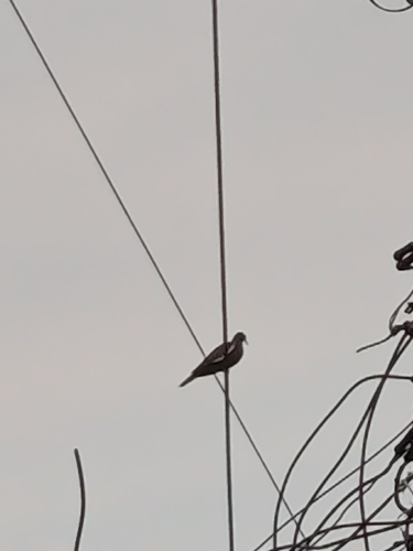
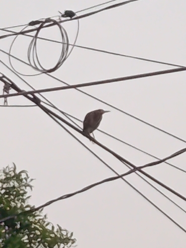
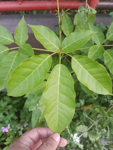
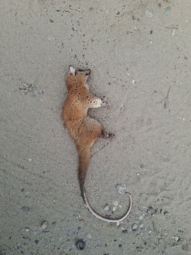
Research-grade observations from iNaturalist (within ~15 mi).
Events
Gallery
Geotagged photos within ~6 miles of Francisco Trujillo Gurría, from Wikimedia Commons contributors.
 1.1 mi
 1.1 mi
 2.4 mi
 2.5 mi
.jpg) 2.5 mi
2.5 mi 3 mi
3 mi 3 mi
3 mi 3.4 mi
 3.4 mi
 3.4 mi
 3.4 mi
 3.4 mi
 3.4 mi
 3.4 mi
 3.4 mi
 4.4 mi
 4.4 mi
 4.4 mi
 4.4 mi
 4.4 mi
 4.4 mi
 4.4 mi
 4.4 mi
 4.4 mi
Photos via Wikimedia Commons — see each image page for license & attribution.
Sources
- • Wikimedia Commons
- • Wikidata
- • USGS Earthquake Catalog (global feed)
- • GBIF (Global Biodiversity Information Facility)
- • iNaturalist
- • Open-Meteo / sunrise-sunset.org
- • Open Library