Browse / Mexico / Campeche / Hecelchakán
Hecelchakán
Campechetown
Total population
11,419
Founded
1600
Demographic figures from INEGI. Overview below cites Wikipedia and may reference a different year.
City facts
Facts from Wikidata (CC0).
Overview
Hecelchakán is a city in the Mexican state of Campeche. The city is located some 70 km to the north of the state capital Campeche. It is the seat of the Hecelchakán Municipality. As of 2010, the city of Hecelchakán had a population of 10,285.
Read more on WikipediaHistory & geography
History
The city was founded close to a cenote by inhabitants of the former city of Xkalumkin, between the years 1500 and 1600. In this city some important historic events took place, such as the battle between Don Francisco de Paula Toro and the federalists, led by Don Felipe Montero, who was defeated. In 1840, the district of Hecelchakán included the towns of Pomuch, Pocboc, Tenabo, Tepakán, San Antonio Sahcabchén, Dzitbalché, Bécal, Nunkiní, and Calkiní. Around 1846, the district of Hecelchakán included three parishes: Hecelchakán, Calkiní and Bécal. On December 7, 1915, when decree no. 51 approved a new law of interior administration, Hecelchakán became one of the eight free municipalities of the new state of Campeche. That law came into effect on January 1, 1916. In 1957 Hecelchakán was given city status by Governor of Campeche Alberto Trueba Urbina.
Excerpted from the corresponding Wikipedia article (CC BY-SA).
Geography
Coordinates & boundaries from the US Census TIGER/Line shapefiles.
Climate
Air quality
Walkability
Amenities nearby
Wildlife & biodiversity
Most-observed species
- White-winged DoveZenaida asiatica (Linnaeus, 1758) · Aves82
- Great-tailed GrackleQuiscalus mexicanus (Gmelin, 1788) · Aves66
- Ruddy Ground-DoveColumbina talpacoti (Temminck, 1810) · Aves63
- Tropical MockingbirdMimus gilvus (Vieillot, 1808) · Aves63
- Golden-fronted WoodpeckerMelanerpes aurifrons (Wagler, 1829) · Aves60
- Social FlycatcherMyiozetetes similis (Spix, 1825) · Aves59
- Blue-gray GnatcatcherPolioptila caerulea (Linnaeus, 1766) · Aves54
- Eurasian Collared-DoveStreptopelia decaocto (Frivaldszky, 1838) · Aves53
Citizen-science & research observations from the Global Biodiversity Information Facility (GBIF).
Earthquake history
Events from the USGS Earthquake Catalog (global) (FDSN Event Web Service).
Photos
Sights & places nearby
Notable people from here

People born within ~10 km, from Wikidata (CC0). Click any name for their Wikipedia article.
Nearby places in Campeche
Geography & sun
Elevation, sunrise/sunset and daylight from Open-Meteo. Solar climatology from NASA POWER.
Nearby airports
Public attention
Pageview totals from the Wikimedia Pageviews API.
Books about Hecelchakán
Search results from Open Library.
Recent natural events nearby
Ground air-quality sensors
Recently spotted species
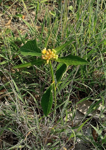
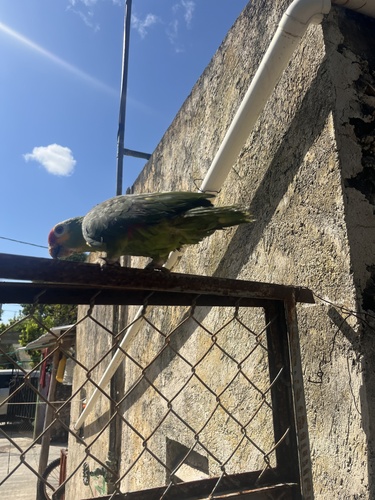
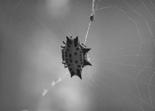
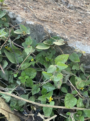
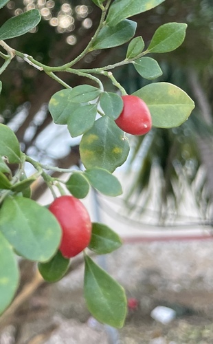
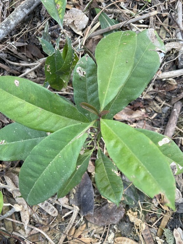
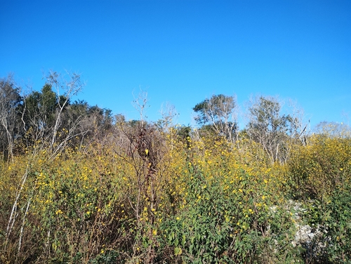
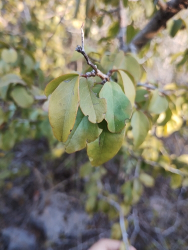
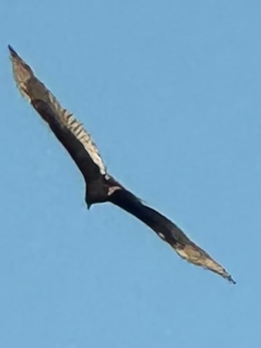
Research-grade observations from iNaturalist (within ~15 mi).
Events
Gallery
Geotagged photos within ~6 miles of Hecelchakán, from Wikimedia Commons contributors.


Photos via Wikimedia Commons — see each image page for license & attribution.
Official Identifiers
INEGI — Mexican National Statistics
- Clave INEGI
- 04005
- State prefix
- 04
- Population (Wikidata)
- 31,917
- Wikidata
- Q2284273
Claves de municipios via Wikidata P3801
Sources
- • Wikipedia
- • Wikimedia Commons
- • Wikidata
- • USGS Earthquake Catalog (global feed)
- • GBIF (Global Biodiversity Information Facility)
- • iNaturalist
- • Open-Meteo / sunrise-sunset.org
- • Wikipedia Pageviews API
- • Open Library
- • INEGI — Mexican national statistics, municipality ID via Wikidata P3801 (clave INEGI, state prefix, municipality code)
- • INEGI — Mexican National Statistics — Claves de municipios via Wikidata P3801