Browse / Mexico / Colima / La Presa (Barranca del Rebozo)
La Presa (Barranca del Rebozo)
Colimavillage
Total population
482
Demographic figures from INEGI. Overview below cites Wikipedia and may reference a different year.
City facts
Overview
Within Colima, Mexico, La Presa (Barranca del Rebozo) stands as a small village. Located at 19.012°, -103.703°, La Presa (Barranca del Rebozo) occupies a tropical portion of the northern hemisphere. The population stands at approximately 482. Open solar datasets indicate about 2,093 kWh/m² of solar irradiance per year, combined with sunshine for roughly 82% of daylight hours. Its latitude implies a climate characterised by warm temperatures throughout the year with pronounced wet and dry seasons. Further detail — demographics, climate, nearby amenities and natural-hazard data — is compiled below from public open-data sources.
Summary composed automatically from structured open data on this page. See our Terms for details.
History & geography
Geography
Coordinates & boundaries from the US Census TIGER/Line shapefiles.
Climate
Air quality
Walkability
Amenities nearby
Wildlife & biodiversity
Most-observed species
- Orange-breasted BuntingPasserina leclancherii Lafresnaye, 1840 · Aves71
- West Mexican ChachalacaOrtalis poliocephala (Wagler, 1830) · Aves60
- Citreoline TrogonTrogon citreolus Gould, 1835 · Aves57
- White-tipped DoveLeptotila verreauxi Bonaparte, 1855 · Aves51
- White-bellied WrenUropsila leucogastra (Gould, 1837) · Aves48
- Streak-backed OrioleIcterus pustulatus (Wagler, 1829) · Aves47
- Cinnamon HummingbirdAmazilia rutila (Delattre, 1843) · Aves43
- Golden-cheeked WoodpeckerMelanerpes chrysogenys (Vigors, 1839) · Aves43
Citizen-science & research observations from the Global Biodiversity Information Facility (GBIF).
Earthquake history
Most recent
- M 4.3 — 2025-12-038 km WNW of Camotlán de Miraflores, Mexico
- M 4.3 — 2025-08-0611 km ENE of Aquila, Mexico
- M 4.5 — 2025-04-165 km N of La Higuera, Mexico
- M 4.3 — 2025-03-0831 km W of La Placita de Morelos, Mexico
- M 4 — 2025-02-0719 km WSW of Cerro de Ortega, Mexico
- M 4.3 — 2025-01-197 km E of Aquila, Mexico
Events from the USGS Earthquake Catalog (global) (FDSN Event Web Service).
Photos
Sights & places nearby
Notable people from here
People born within ~10 km, from Wikidata (CC0). Click any name for their Wikipedia article.
Nearby places in Colima
- Zinacamitlán (Los Chicos)2.3 mi away · pop. 281
- Ixtlahuacán2.4 mi away · pop. 2,985
- Las Trancas2.7 mi away · pop. 132
- Aquiles Serdán (Tamala)3.5 mi away · pop. 421
- Los Ortices7.3 mi away
- Las Guásimas7.4 mi away
- Tepames7.7 mi away
- El Amarradero7.9 mi away
- Tecolapa8.3 mi away · pop. 868
- El Plan del Zapote8.6 mi away · pop. 99
- Los Asmoles8.8 mi away
- Acatitán9.4 mi away
Geography & sun
Elevation, sunrise/sunset and daylight from Open-Meteo. Solar climatology from NASA POWER.
Nearby airports
Public attention
Books about this place
Recent natural events nearby
Ground air-quality sensors
Recently spotted species
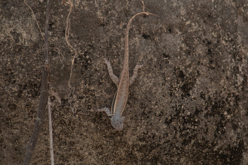
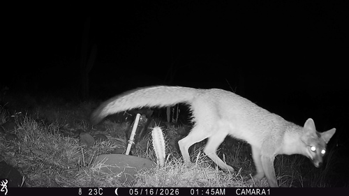
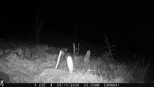
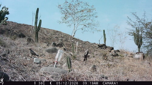
Research-grade observations from iNaturalist (within ~15 mi).
Events
Gallery
Geotagged photos within ~6 miles of La Presa (Barranca del Rebozo), from Wikimedia Commons contributors.
 0.8 mi
 0.8 mi
 0.8 mi
 0.8 mi
 0.8 mi
 0.8 mi
 0.8 mi
 0.8 mi
 0.8 mi
 0.8 mi
 0.8 mi
 0.8 mi
 0.8 mi
 0.8 mi
 2.3 mi
 2.3 mi
 6.1 mi
 6.1 mi
 6.1 mi
 6.1 mi
 6.1 mi
 6.1 mi
 6.1 mi
 6.1 mi
Photos via Wikimedia Commons — see each image page for license & attribution.
Sources
- • Wikimedia Commons
- • Wikidata
- • USGS Earthquake Catalog (global feed)
- • GBIF (Global Biodiversity Information Facility)
- • iNaturalist
- • Open-Meteo / sunrise-sunset.org