Browse / Mexico / Durango / San Ignacio de la Sierra
San Ignacio de la Sierra
Durangovillage
Demographic figures from INEGI. Overview below cites Wikipedia and may reference a different year.
City facts
Overview
Situated in Durango, Mexico, San Ignacio de la Sierra is a village. Geographically it lies in the northern hemisphere at a subtropical latitude (25.448°, -106.108°). Detailed population figures are not currently catalogued in the open data sources we track. Climatically, locations at this latitude tend to experience hot summers and mild winters typical of the subtropics. The location receives about 2,137 kWh/m² of solar irradiance per year and sunshine for roughly 84% of daylight hours. Further detail — demographics, climate, nearby amenities and natural-hazard data — is compiled below from public open-data sources.
Summary composed automatically from structured open data on this page. See our Terms for details.
History & geography
Geography
Coordinates & boundaries from the US Census TIGER/Line shapefiles.
Climate
Air quality
Walkability
Amenities nearby
Wildlife & biodiversity
Most-observed species
- Cow Horn AgaveAgave bovicornuta Gentry · Liliopsida1
- smooththroat stoneseedLithospermum cobrense Greene · Magnoliopsida1
- Mojave Mound CactusEchinocereus polyacanthus Engelm. · Magnoliopsida1
- Arizona pinePinus arizonica Engelm. · Pinopsida1
- Chihuahuan PinePinus leiophylla Schiede ex Schltdl. & Cham. · Pinopsida1
- Sisyrinchium scabrum Schltdl. & Cham.Sisyrinchium scabrum Schltdl. & Cham. · Liliopsida1
- Lemon BeebalmMonarda citriodora Cerv. ex Lag. · Magnoliopsida1
- Mammillaria senilis Lodd. ex Salm-DyckMammillaria senilis Lodd. ex Salm-Dyck · Magnoliopsida1
Citizen-science & research observations from the Global Biodiversity Information Facility (GBIF).
Earthquake history
Most recent
- M 4.1 — 2011-09-0517 km E of Tamazula de Victoria, Mexico
- M 4.5 — 2011-09-0520 km SW of Canelas, Mexico
- M 5.1 — 2009-07-1216 km WSW of Canelas, Mexico
- M 4.2 — 2008-11-1119 km NE of Tamazula de Victoria, Mexico
Events from the USGS Earthquake Catalog (global) (FDSN Event Web Service).
Photos
Sights & places nearby
Notable people from here
Nearby places in Durango
- Ciénega de los Frailes7.7 mi away
- Los Bagres18.1 mi away
- Concepción18.2 mi away
- San Isidro de las Calabazas19 mi away
- El Corazón19.5 mi away
- Santa Rosa20.1 mi away
- El Llano de Santa Rosa20.2 mi away
- Los Espejos20.6 mi away
- El Abeldaño20.9 mi away
- Mesa de los Návar21.2 mi away
- San Miguel de Lobos21.7 mi away
- El Cebolín21.8 mi away
Geography & sun
Elevation, sunrise/sunset and daylight from Open-Meteo. Solar climatology from NASA POWER.
Nearby airports
Public attention
Books about this place
Recent natural events nearby
Ground air-quality sensors
Recently spotted species
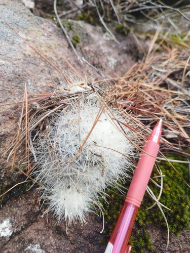
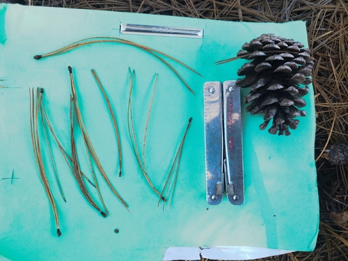
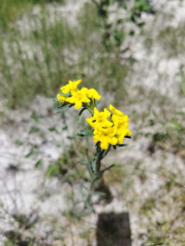
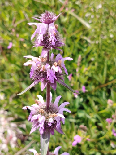
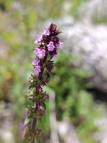
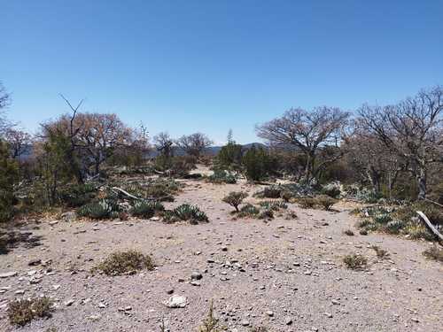
Research-grade observations from iNaturalist (within ~15 mi).
Events
Gallery
Geotagged photos within ~6 miles of San Ignacio de la Sierra, from Wikimedia Commons contributors.


Photos via Wikimedia Commons — see each image page for license & attribution.
Sources
- • Wikimedia Commons
- • USGS Earthquake Catalog (global feed)
- • GBIF (Global Biodiversity Information Facility)
- • iNaturalist
- • Open-Meteo / sunrise-sunset.org