Browse / Mexico / Puebla / San Mateo Tlaixpan
San Mateo Tlaixpan
Pueblavillage
Total population
10,513
Demographic figures from INEGI. Overview below cites Wikipedia and may reference a different year.
City facts
Overview
San Mateo Tlaixpan is a small village that lies in Puebla, Mexico. Geographically it lies in the northern hemisphere at a tropical latitude (18.915°, -97.735°). Population sits at roughly 10,513 according to the open data we track. Climatically, locations at this latitude tend to experience warm temperatures throughout the year with pronounced wet and dry seasons. The location receives about 2,077 kWh/m² of solar irradiance per year and sunshine for roughly 81% of daylight hours. Climate records indicate average highs near 76.6°F and lows near 50.6°F and about 28.5 in of annual precipitation (a moderate total). The sections below expand on demographics, weather, terrain, hazards and nearby points of interest using publicly available datasets.
Summary composed automatically from structured open data on this page. See our Terms for details.
History & geography
Geography
Coordinates & boundaries from the US Census TIGER/Line shapefiles.
Climate
10-year averages from ERA5 reanalysis (Open-Meteo).
Air quality
Walkability
Amenities nearby
Wildlife & biodiversity
Most-observed species
- Vermilion FlycatcherPyrocephalus rubinus (Boddaert, 1783) · Aves202
- House FinchHaemorhous mexicanus (P.L.Statius Müller, 1776) · Aves168
- Curve-billed ThrasherToxostoma curvirostre (Swainson, 1827) · Aves145
- Canyon TowheeMelozone fusca (Swainson, 1827) · Aves136
- Inca DoveColumbina inca (R.Lesson, 1847) · Aves131
- Bridled SparrowPeucaea mystacalis (Hartlaub, 1852) · Aves120
- PhainopeplaPhainopepla nitens (Swainson, 1838) · Aves118
- Boucard's WrenCampylorhynchus jocosus P.L.Sclater, 1860 · Aves115
Citizen-science & research observations from the Global Biodiversity Information Facility (GBIF).
Earthquake history
Most recent
- M 4.2 — 2018-07-244 km NNE of San Miguel Ixitlán, Mexico
- M 7.1 — 2017-09-191 km S of Matzaco, Mexico
- M 4.7 — 2016-02-085 km WSW of Atecax, Mexico
- M 4.1 — 2013-05-0612 km NW of San Pedro Benito Juárez, Mexico
- M 4 — 2010-12-039 km E of San Pedro y San Pablo Tequistepec, Mexico
- M 4.9 — 2010-02-035 km NE of Xayacatlán de Bravo, Mexico
Events from the USGS Earthquake Catalog (global) (FDSN Event Web Service).
Photos
Sights & places nearby
Notable people from here


People born within ~10 km, from Wikidata (CC0). Click any name for their Wikipedia article.
Nearby places in Puebla
- Progreso de Juárez3.5 mi away
- La Compañía3.8 mi away
- San Simón3.9 mi away
- San Simón de Bravo3.9 mi away
- Santa Rosa4 mi away · pop. 3,597
- San José Tuzuapan4.6 mi away
- Xochimilco5.1 mi away · pop. 2,572
- San Antonio Tecolco5.1 mi away · pop. 1,984
- Quecholac5.7 mi away · pop. 10,216
- San Pablo de las Tunas5.7 mi away · pop. 3,162
- San Antonio Portezuelo6 mi away · pop. 3,515
- Buenavista de Juárez6.4 mi away
Geography & sun
Elevation, sunrise/sunset and daylight from Open-Meteo. Solar climatology from NASA POWER.
Nearby airports
Public attention
Books about this place
Recent natural events nearby
Ground air-quality sensors
Recently spotted species
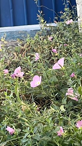
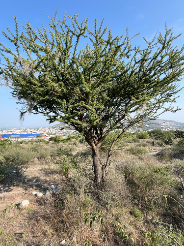

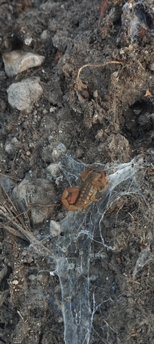



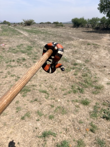
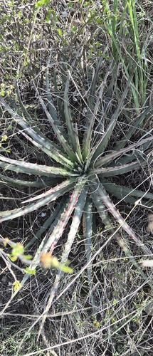
Research-grade observations from iNaturalist (within ~15 mi).
Events
Gallery
Geotagged photos within ~6 miles of San Mateo Tlaixpan, from Wikimedia Commons contributors.
 1.6 mi
 1.8 mi
 1.8 mi
 1.9 mi
.jpg) 1.9 mi
1.9 mi 1.9 mi
 2 mi
2 mi 2 mi
2 mi 2 mi
2 mi 2.1 mi
 2.1 mi
 2.1 mi
 2.2 mi
 2.2 mi
 2.2 mi
 2.2 mi
 2.2 mi
 2.3 mi
 2.3 mi
 2.3 mi
 2.3 mi
 2.3 mi
 2.3 mi
 2.3 mi
Photos via Wikimedia Commons — see each image page for license & attribution.
Sources
- • Open-Meteo (ERA5 reanalysis)
- • Wikimedia Commons
- • Wikidata
- • USGS Earthquake Catalog (global feed)
- • GBIF (Global Biodiversity Information Facility)
- • iNaturalist
- • Open-Meteo / sunrise-sunset.org