Browse / Mexico / Durango / Sapiorís
Sapiorís
Durangovillage
Air quality index
Demographic figures from INEGI. Overview below cites Wikipedia and may reference a different year.
City facts
Overview
Situated in Durango, Mexico, Sapiorís is a village. On the world map it falls within the Western Hemisphere, specifically at 24.549°, -105.850°. Detailed population figures are not currently catalogued in the open data sources we track. Its latitude implies a climate characterised by hot summers and mild winters typical of the subtropics. Read on for charts and tables covering demographics, climate, hazards, schools, wildlife and other open-data indicators for Sapiorís.
Summary composed automatically from structured open data on this page. See our Terms for details.
History & geography
Geography
Coordinates & boundaries from the US Census TIGER/Line shapefiles.
Climate
Air quality
Current readings from Open-Meteo Air Quality API (Copernicus CAMS European reanalysis).
Walkability
Amenities nearby
Wildlife & biodiversity
Most-observed species
- Reakirt's BlueEchinargus isola (Reakirt, 1866) · Insecta16
- Jumping SpidersParaphidippus aurantius (Lucas, 1833) · Arachnida13
- southwestern cosmosCosmos parviflorus (Jacq.) Pers. · Magnoliopsida8
- House FinchHaemorhous mexicanus (P.L.Statius Müller, 1776) · Aves8
- scarlet hedgenettleStachys coccinea Ortega · Magnoliopsida7
- SelfhealPrunella vulgaris L. · Magnoliopsida7
- Western Rhinoceros BeetleXyloryctes thestalus Bates, 1888 · Insecta6
- Yellow-eyed JuncoJunco phaeonotus Wagler, 1831 · Aves6
Citizen-science & research observations from the Global Biodiversity Information Facility (GBIF).
Earthquake history
Most recent
- M 4.5 — 2003-07-2928 km SSW of Esfuerzos Unidos, Mexico
Events from the USGS Earthquake Catalog (global) (FDSN Event Web Service).
Photos
Sights & places nearby
Notable people from here
Nearby places in Durango
- San José de Bacis1.5 mi away
- Los Cardos2.8 mi away
- San Ignacio de Huapipuje7 mi away
- Cuevecillas8.7 mi away
- Las Truchas9.4 mi away
- San Miguel de Cruces9.5 mi away
- San Miguel de Piélagos11.1 mi away
- San Antonio de las Truchas11.7 mi away
- La Mona12 mi away
- Vencedores12.1 mi away
- San Miguelito12.2 mi away
- Arranca Barbas15.8 mi away
Geography & sun
Nearby airports
Public attention
Books about this place
Recent natural events nearby
Ground air-quality sensors
Recently spotted species
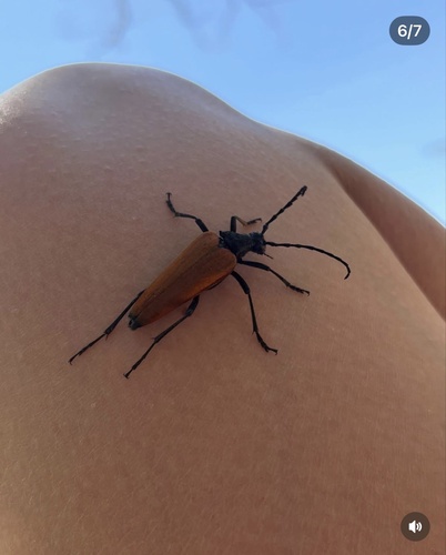
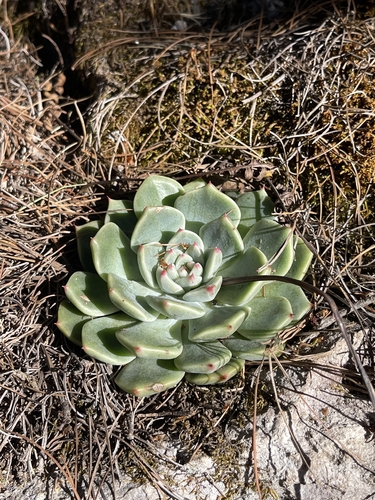
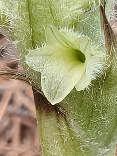
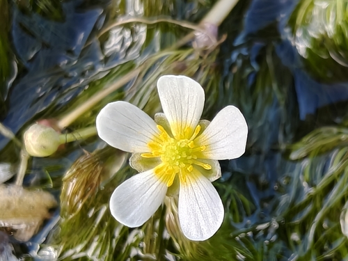
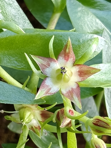
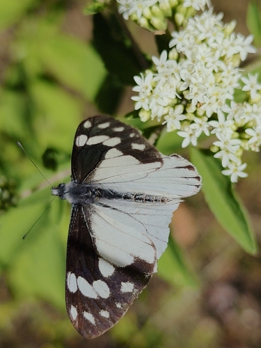
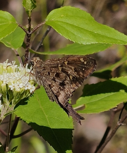
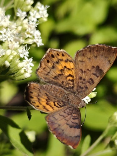
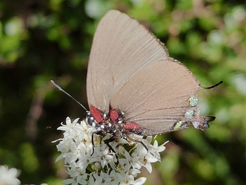
Research-grade observations from iNaturalist (within ~15 mi).
Events
Gallery
Sources
- • Wikidata
- • Open-Meteo Air Quality (CAMS)
- • USGS Earthquake Catalog (global feed)
- • GBIF (Global Biodiversity Information Facility)
- • iNaturalist