Browse / Mexico / México / Xico
Xico
Méxicocity

Xico
Total population
356,352
Demographic figures from INEGI. Overview below cites Wikipedia and may reference a different year.
City facts
Overview
Valle de Chalco, officially named Valle de Chalco Solidaridad, is a municipality located in the State of Mexico, Mexico, on the eastern outskirts of the metropolitan area of Mexico City. Formerly part of the municipality of Chalco, it was split off as a separate entity in 1994, during the presidency of Salinas de Gortari, under his Programa Nacional de Solidaridad. The municipality lies on the old bed of Lake Chalco, which was substantially drained in the nineteenth century. Technically, the municipal seat is Xico, after a high point of land that once formed an island, and now remains as a small hill within an otherwise monotonous, urban expanse. "Chalco" refers to the Chalca tribe, whose territory covered the area around the lake, prior to the Spanish conquest of the Aztec Empire.
Read more on WikipediaHistory & geography
Geography
Coordinates & boundaries from the US Census TIGER/Line shapefiles.
Climate
Air quality
Walkability
Amenities nearby
Wildlife & biodiversity
Most-observed species
- House FinchHaemorhous mexicanus (P.L.Statius Müller, 1776) · Aves10,611
- Great-tailed GrackleQuiscalus mexicanus (Gmelin, 1788) · Aves10,122
- Bewick's WrenThryomanes bewickii (Audubon, 1827) · Aves8,193
- House SparrowPasser domesticus (Linnaeus, 1758) · Aves7,795
- Inca DoveColumbina inca (R.Lesson, 1847) · Aves7,791
- Barn SwallowHirundo rustica Linnaeus, 1758 · Aves7,746
- Cassin's KingbirdTyrannus vociferans Swainson, 1826 · Aves6,791
- Canyon TowheeMelozone fusca (Swainson, 1827) · Aves6,719
Citizen-science & research observations from the Global Biodiversity Information Facility (GBIF).
Earthquake history
Most recent
- M 2.9 — 2024-09-262 km N of Álvaro Obregón, Mexico
- M 3.2 — 2023-05-113 km SSE of Colonia Nativitas, Mexico
- M 3.1 — 2019-07-173 km ESE of Venustiano Carranza, Mexico
- M 7.1 — 2017-09-191 km S of Matzaco, Mexico
- M 4 — 2013-06-211 km S of Atlacahualoya, Mexico
- M 4.1 — 2013-05-0612 km NW of San Pedro Benito Juárez, Mexico
Events from the USGS Earthquake Catalog (global) (FDSN Event Web Service).
Photos
Sights & places nearby
Notable people from here


People born within ~10 km, from Wikidata (CC0). Click any name for their Wikipedia article.
Nearby places in México
- Chalco de Díaz Covarrubias3.3 mi away · pop. 174,704
- San Pablo Atlazalpan5 mi away
- Santa Catarina Ayotzingo5.2 mi away
- Santiago Zula5.5 mi away · pop. 2,292
- Rancho Santa María Atoyac6.1 mi away · pop. 1,537
- Jorge Jiménez Cantú6.5 mi away · pop. 9,480
- Fraccionamiento El Vergel de la Sierra9.9 mi away
- Tlalmanalco10.5 mi away
- Chimalhuacán10.5 mi away · pop. 612,383
- Cuautlalpan10.7 mi away
- San Bernardino13.8 mi away
- San Matías Cuijingo14.8 mi away · pop. 6,260
Geography & sun
Elevation, sunrise/sunset and daylight from Open-Meteo. Solar climatology from NASA POWER.
Nearby airports
Public attention
Pageview totals from the Wikimedia Pageviews API.
Books about Xico
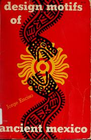

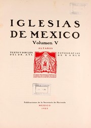
Search results from Open Library.
Recent natural events nearby
Ground air-quality sensors
Recently spotted species
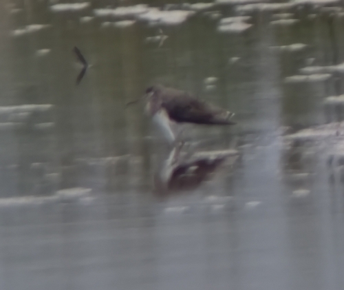
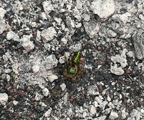
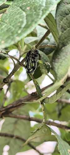
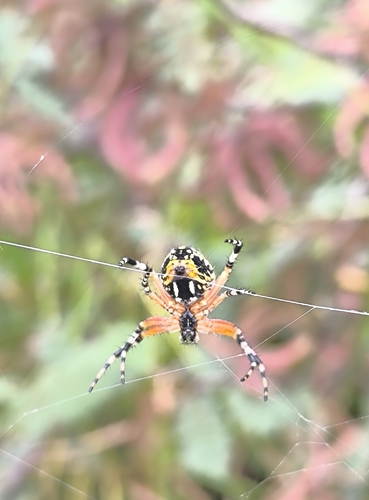
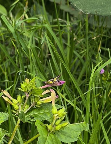
Research-grade observations from iNaturalist (within ~15 mi).
Events
Gallery
Official Identifiers
INEGI — Mexican National Statistics
- Clave INEGI
- 30092
- Population (Wikidata)
- 18,652
- Wikidata
- Q20270917
Claves de municipios via Wikidata P3801
Sources
- • Wikipedia
- • Wikidata
- • USGS Earthquake Catalog (global feed)
- • GBIF (Global Biodiversity Information Facility)
- • iNaturalist
- • Open-Meteo / sunrise-sunset.org
- • Wikipedia Pageviews API
- • Open Library
- • INEGI — Mexican national statistics, municipality ID via Wikidata P3801 (clave INEGI, state prefix, municipality code)
- • INEGI — Mexican National Statistics — Claves de municipios via Wikidata P3801