Browse / Malaysia / Terengganu / Ajil
Ajil
Terengganutown

Featured view
Ajil
Total population
1,842
Coordinates5.08°, 103.09°
Demographic figures from Department of Statistics Malaysia. Overview below cites Wikipedia and may reference a different year.
Loading additional data from public sources…0 / 11
CensusWikipediaWeatherPlacesPeopleEnvironmentHealth & SchoolsRelatedGeography & CultureLive MonitoringEvents & Gallery
0% completeCity facts
Overview
Ajil is a small town in the Penghulu Diman commune in Hulu Terengganu District of Terengganu, Malaysia.
Read more on WikipediaHistory & geography
Geography
Latitude
5.0822
Longitude
103.0860
Water area
—
Coordinates & boundaries from the US Census TIGER/Line shapefiles.
Climate
Air quality
Walkability
Amenities nearby
Wildlife & biodiversity
Earthquake history
Photos
Sights & places nearby
Notable people from here
M
Mohd Nor Farhan Muhammad
Malaysian footballer
M
Mat Over
actor
A
Alias Ali
Malaysian politician

Mamad Puteh
Malaysian politician
A
Ahmad Sidi Ismail
Malaysian Politician
R
Rahmat Makasuf
Malaysian footballer
People born within ~10 km, from Wikidata (CC0). Click any name for their Wikipedia article.
Nearby places in Terengganu
- Kuala Berang4.8 mi away · pop. 5,803
- Kampung Pelam10.4 mi away
- Kampung Jenagor10.7 mi away
- Kampung Kubang Palas10.8 mi away
- Kampung Pulau Manis12.2 mi away
- Kampung Padang Midin12.5 mi away
- Kampung Peradong13.3 mi away
- Kampung Teluk Menara14.9 mi away
- Kampung Merbau Patah15.3 mi away
- Kampung Banggol15.5 mi away
- Kampung Pasir Panjang15.6 mi away
- Kampung Kebor Besar15.7 mi away
Geography & sun
Avg solar (kWh/m²/day)
5.04
Annual solar (kWh/m²)
1,840
Elevation, sunrise/sunset and daylight from Open-Meteo. Solar climatology from NASA POWER.
Nearby airports
Public attention
Wikipedia views (last 30 days)
83
Avg daily Wikipedia views
3
Attention level
Obscure
Pageview totals from the Wikimedia Pageviews API.
Books about this place
Recent natural events nearby
Ground air-quality sensors
Recently spotted species
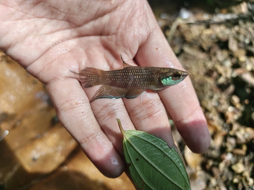
Terengganu Betta
Betta stigmosa
Seen 2026-09-02
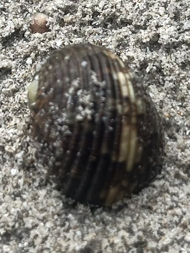
Chamaeleon Nerite
Nerita chamaeleon
Seen 2026-07-20
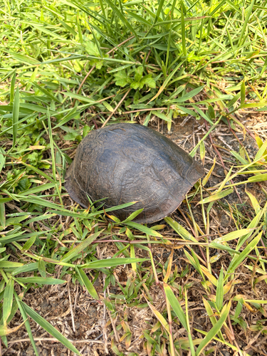
Sunda Box Turtle
Cuora couro
Seen 2026-07-10
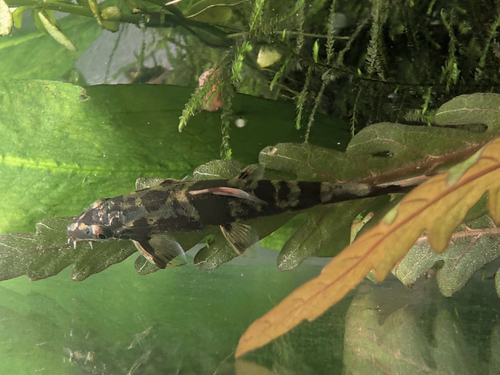
Homaloptera ogilviei
Homaloptera ogilviei
Seen 2026-04-18
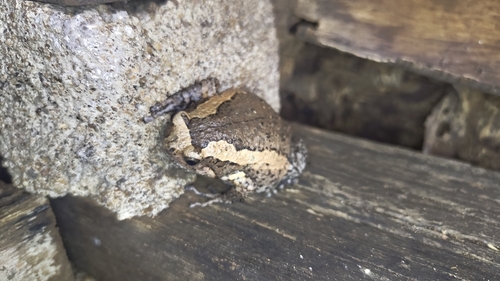
Asian Painted Frog
Kaloula pulchra
Seen 2026-04-10
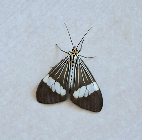
Asian Magpie Moth
Nyctemera baulus
Seen 2026-02-23
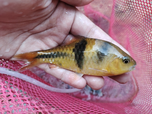
Spanner Barb
Striuntius lateristriga
Seen 2025-11-16
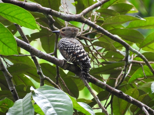
Buff-rumped Woodpecker
Meiglyptes grammithorax
Seen 2025-09-07
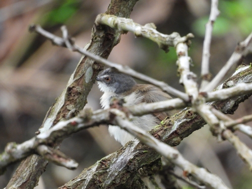
Rufescent Prinia
Prinia rufescens
Seen 2025-09-07
Research-grade observations from iNaturalist (within ~15 mi).
Events
Gallery
Sources
- • Wikipedia
- • Wikidata
- • iNaturalist
- • Open-Meteo / sunrise-sunset.org
- • Wikipedia Pageviews API