Browse / Malaysia / Kedah / Alor Merah
Alor Merah
Kedahvillage
Demographic figures from Department of Statistics Malaysia. Overview below cites Wikipedia and may reference a different year.
City facts
Overview
Set in Kedah, Malaysia, Alor Merah is recorded in open geodata as a village. On the world map it falls within the Eastern Hemisphere, specifically at 6.159°, 100.373°. Detailed population figures are not currently catalogued in the open data sources we track. The location receives about 1,833 kWh/m² of solar irradiance per year and sunshine for roughly 72% of daylight hours. Its latitude implies a climate characterised by hot and humid year-round with little seasonal temperature variation. The sections below expand on demographics, weather, terrain, hazards and nearby points of interest using publicly available datasets.
Summary composed automatically from structured open data on this page. See our Terms for details.
History & geography
Geography
Coordinates & boundaries from the US Census TIGER/Line shapefiles.
Climate
Air quality
Walkability
Amenities nearby
Wildlife & biodiversity
Most-observed species
- Spotted DoveSpilopelia chinensis (Scopoli, 1786) · Aves87
- White-throated KingfisherHalcyon smyrnensis (Linnaeus, 1758) · Aves71
- Black-naped OrioleOriolus chinensis Linnaeus, 1766 · Aves61
- Yellow-vented BulbulPycnonotus goiavier (Scopoli, 1786) · Aves53
- Little Egret/Western Reef-HeronEgretta garzetta (Linnaeus, 1766) · Aves51
- Zebra DoveGeopelia striata (Linnaeus, 1766) · Aves48
- Asian OpenbillAnastomus oscitans (Boddaert, 1783) · Aves45
- Baya WeaverPloceus philippinus (Linnaeus, 1766) · Aves44
Citizen-science & research observations from the Global Biodiversity Information Facility (GBIF).
Earthquake history
Events from the USGS Earthquake Catalog (global) (FDSN Event Web Service).
Photos
Sights & places nearby
Notable people from here


People born within ~10 km, from Wikidata (CC0). Click any name for their Wikipedia article.
Nearby places in Kedah
- Kampung Baru Telok4 mi away
- Kampung Matang Kong5.9 mi away
- Kuala Kedah6.5 mi away
- Kampung Pulau Pisang7.8 mi away
- Kampung Pulau Kechik8.3 mi away
- Tunjang8.9 mi away
- Simpang Empat9.3 mi away
- Kampung Masjid10.7 mi away
- Kampung Pulau Pak Ubin11.8 mi away
- Kampung Tradisi Paya Pahlawan12.4 mi away
- Kota Sarang Semut12.8 mi away
- Kampung Putat12.9 mi away
Geography & sun
Elevation, sunrise/sunset and daylight from Open-Meteo. Solar climatology from NASA POWER.
Nearby airports
Public attention
Books about this place
Recent natural events nearby
Ground air-quality sensors
Recently spotted species
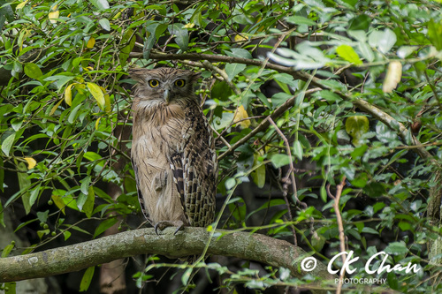
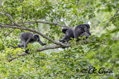
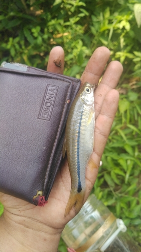
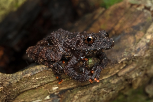

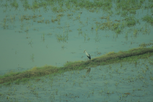
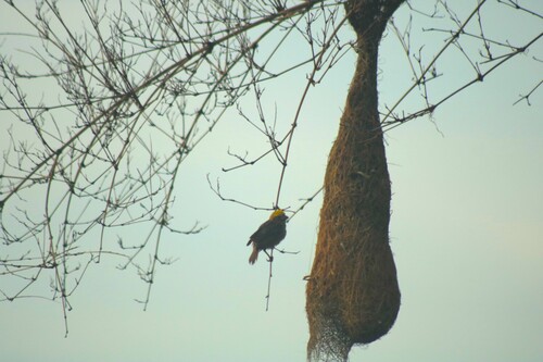


Research-grade observations from iNaturalist (within ~15 mi).
Events
Gallery
Sources
- • Wikidata
- • USGS Earthquake Catalog (global feed)
- • GBIF (Global Biodiversity Information Facility)
- • iNaturalist
- • Open-Meteo / sunrise-sunset.org