Browse / Malaysia / Kedah / Alor Setar
Alor Setar
Kedahcity

Alor Setar
Total population
423,868
Founded
1735
Demographic figures from Department of Statistics Malaysia. Overview below cites Wikipedia and may reference a different year.
City facts
Facts from Wikidata (CC0).
Overview
Alor Setar, known as Alor Star from 2003 to 2009, is the state capital of Kedah, Malaysia. It is the second-largest city in the state, after Sungai Petani, and one of the most important cities on the west coast of Peninsular Malaysia. It is home to the third-tallest tower in Malaysia, the Alor Setar Tower.
Read more on WikipediaHistory & geography
History
Alor Setar was established on 30 December 1735 by Kedah's 19th Ruler, Sultan Muhammad Jiwa Zainal Adilin II and was the state's eighth administrative centre since the establishment of the Kedah Sultanate in 1136. The earlier administrative centres were located in Kota Bukit Meriam, Kota Sungai Emas, Kota Siputeh, Kota Naga, Kota Sena, Kota Indera Kayangan and Kota Bukit Pinang. The pre-existing settlement was originally a small village. However, the sultan found the area to be in a strategic location. He was drawn to the area, as it was covered in lush greenery and was noted as the center at which the two estuaries of the Kedah River converged. Upon the agreement with several Kedahan nobles, they agreed to institute a new town known as "Kota Setar" (the "Town of Setar"). The name was derived from Bouea macrophylla, a type of tree that can be found in the area. A new administrative institution was constructed in the settlement, with the sultan residing in Istana Kota Setar. However, the capital suffered a major attack when the Bugis armada led by Raja Haji managed to destroy both the Istana Kota Setar (Royal Palace) and Balai Besar (Grand Hall) in 1770. In 1771, the British represented by Francis Light and Sultan Abdullah Mukarram Shah entered into an agreement to halt the Bugis influence in Kedah. Upon his arrival in Kampung Kota Setar, he befriended several local Malays and they invited him to the sultan's palatial residence. Agustin remarked on the beauty of the palatial architecture and its landscape covered with the stalk trees. He was well received by the sultan and both parties exchanged goods between one another. The visit by Agustin spurred a growth for a more active and direct trade relations between the area and outside commercial powerhouse. The city…
Geography
Alor Setar is located in the northwestern part of Peninsular Malaysia, at the edge of the Malacca Strait which separates Malaysia from Indonesia. The Kota Setar district includes Alor Setar, and borders the districts of Kubang Pasu, Pokok Sena and Pendang. The city encompasses an area of , including the neighbouring district of Pokok Sena which falls under the jurisdiction of the Alor Setar City Council. Alor Setar is surrounded by important river systems such as the Kedah, Langgar, Tajar, Anak Bukit, Alor Malai and Alor Merah Rivers. Alor Setar's Hausberg is a 217.9m (715 feet) high mogote, Mount Keriang (Gunung Keriang), where there is a network of limestone caves located within it, as well as housing geodes of calcite crystals. Alor Setar features a tropical monsoon climate (Am) under the Köppen climate classification. ← Alor Setar has a very lengthy wet season. As is common in several regions with this climate, precipitation is seen even during the short dry season. Temperatures are relatively consistent throughout the course of the year, with average high temperatures around 32 degrees Celsius and average low temperatures around 23 degrees Celsius. Alor Setar has an average of annual precipitation.
Excerpted from the corresponding Wikipedia article (CC BY-SA).
Geography
Coordinates & boundaries from the US Census TIGER/Line shapefiles.
Climate
Air quality
Walkability
Amenities nearby
Wildlife & biodiversity
Earthquake history
Photos
Sights & places nearby
Notable people from here


People born within ~10 km, from Wikidata (CC0). Click any name for their Wikipedia article.
Nearby places in Kedah
- Kuala Kedah5.3 mi away
- Kampung Pulau Kerengga5.3 mi away
- Kampung Baru Telok5.9 mi away
- Kampung Telok Binasa6.2 mi away
- Kepala Batas6.4 mi away
- Kampung Telok Jawa7.4 mi away
- Kampung Matang Kong7.9 mi away
- Kampung Pulau Pisang10.2 mi away
- Kuala Sala10.3 mi away
- Kampung Pulau Kechik10.8 mi away
- Tunjang11.4 mi away
- Pendang11.7 mi away · pop. 112,000
Geography & sun
Elevation, sunrise/sunset and daylight from Open-Meteo. Solar climatology from NASA POWER.
Nearby airports
Public attention
Pageview totals from the Wikimedia Pageviews API.
Books about Alor Setar

Search results from Open Library.
Recent natural events nearby
Ground air-quality sensors
Recently spotted species
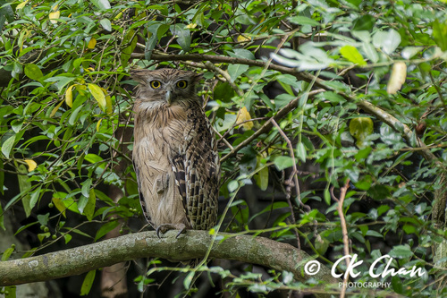
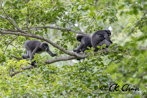

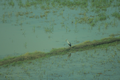
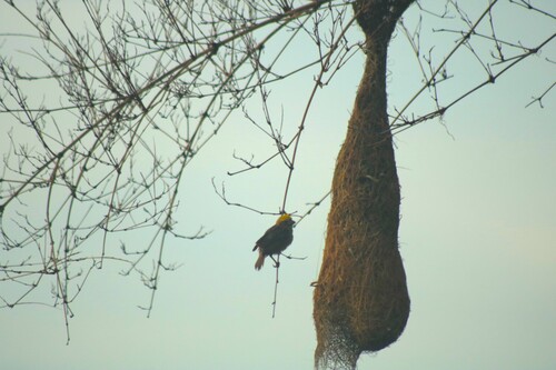



Research-grade observations from iNaturalist (within ~15 mi).
Events
Gallery
Sources
- • Wikipedia
- • Wikidata
- • iNaturalist
- • Open-Meteo / sunrise-sunset.org
- • Wikipedia Pageviews API
- • Open Library