Browse / Malaysia / Perak / Batu Gajah
Batu Gajah
Peraktown

Batu Gajah
Total population
34,000
Demographic figures from Department of Statistics Malaysia. Overview below cites Wikipedia and may reference a different year.
City facts
Overview
Batu Gajah is the seat of Kinta District, Perak, Malaysia. It is administered by the Batu Gajah District Council, formerly known as Kinta West District Council.
Read more on WikipediaHistory & geography
History
Famous for its tin mining long before the Independence Day of Malaya, Batu Gajah had been an ideal place for Chinese immigrants to stay and work during those years. This contributes to a significant percentage of Chinese in the population of Batu Gajah today. The Indian Settlement village (the name was changed to Kampung Baru Desa Changkat) at Changkat has a large Indian population of Tamils and also a small minority of Punjabis who built a Sikh temple which becomes the pride of the residents and a landmark in the village today. Batu Gajah had an established pre-war British English school, which was renamed Sultan Yussuf School (SYS) after the war. The Sultan of Perak DYMM Sultan Azlan Muhibbuddin Shah Ibni Almarhum Sultan Yussuf Izzuddin Shah Ghafarullahu-lah is an alumnus of this school. Formerly known as the Government English School (GES), it was founded by Mr. Malai Perumal Pillay in 1907. The school was built from the rubble of an old jail. Over the years, it has produced many successful students. Batu Gajah since lies on the bank of Sungai Kinta, a little downstream from the major confluence of Sungai Raya. It started out as one of the many villages of mukim Sungai Terap, developed under its titular chief, the Sri Amar DiRaja, the early 19th century.
Excerpted from the corresponding Wikipedia article (CC BY-SA).
Geography
Coordinates & boundaries from the US Census TIGER/Line shapefiles.
Climate
Air quality
Walkability
Amenities nearby
Wildlife & biodiversity
Most-observed species
- Asian Glossy StarlingAplonis panayensis (Scopoli, 1786) · Aves482
- Spotted DoveSpilopelia chinensis (Scopoli, 1786) · Aves440
- Zebra DoveGeopelia striata (Linnaeus, 1766) · Aves430
- Yellow-vented BulbulPycnonotus goiavier (Scopoli, 1786) · Aves416
- White-throated KingfisherHalcyon smyrnensis (Linnaeus, 1758) · Aves357
- Eurasian Tree SparrowPasser montanus (Linnaeus, 1758) · Aves340
- Javan MynaAcridotheres javanicus Cabanis, 1851 · Aves308
- Black-naped OrioleOriolus chinensis Linnaeus, 1766 · Aves292
Citizen-science & research observations from the Global Biodiversity Information Facility (GBIF).
Earthquake history
Events from the USGS Earthquake Catalog (global) (FDSN Event Web Service).
Photos
Sights & places nearby
Notable people from here


People born within ~10 km, from Wikidata (CC0). Click any name for their Wikipedia article.
Geography & sun
Nearby airports
Public attention
Books about this place
Recent natural events nearby
Ground air-quality sensors
Recently spotted species
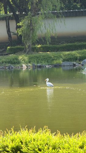
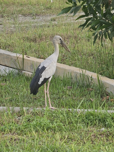
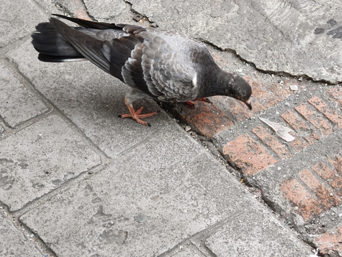
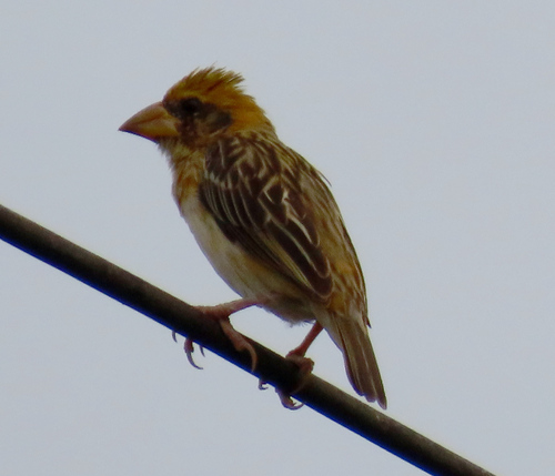
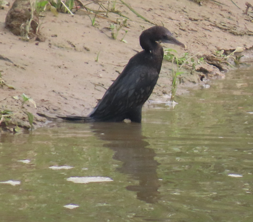
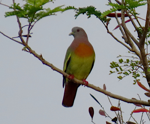
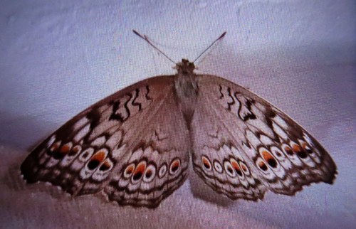
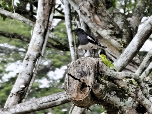
Research-grade observations from iNaturalist (within ~15 mi).
Events
Gallery
Sources
- • Wikipedia
- • Wikidata
- • USGS Earthquake Catalog (global feed)
- • GBIF (Global Biodiversity Information Facility)
- • iNaturalist