Browse / Malaysia / Sabah / Beaufort
Beaufort
Sabahtown

Beaufort
Demographic figures from Department of Statistics Malaysia. Overview below cites Wikipedia and may reference a different year.
City facts
Facts from Wikidata (CC0).
Overview
Beaufort or in Sabahan colloquial spelling "Bopot" is the capital of the Beaufort District in the Interior Division of Sabah, Malaysia. It was named after former British Governor Leicester Paul Beaufort. Its population was estimated to be around 12,742 in 2010. It is about 90 kilometres south of Kota Kinabalu and about 167 kilometres north of Long Pasia. It has shophouses built high above the roads to avoid the periodic floods of the Padas River. The population of Beaufort is composed mainly of Bisaya, Brunei Malays, Kadazan-Dusuns, Lun Bawang/Lun Dayeh, Muruts and Chinese. Bisaya are the majority ethnic, and the population is scattered around the town. Like other towns in Sabah such as Kota Kinabalu city, Tuaran, Papar, Tawau, Kudat and Tenom, Beaufort was one of the major initial Hakka population centres in Sabah and still has a large Hakka minority.
Read more on WikipediaHistory & geography
History
Originally set up to help economic development of the interior of Sabah, Beaufort's early prosperity was closely linked to rubber cultivation. During World War II, it was the site of a battle between Japanese and Australian forces in late June 1945.
Excerpted from the corresponding Wikipedia article (CC BY-SA).
Geography
Coordinates & boundaries from the US Census TIGER/Line shapefiles.
Climate
Air quality
Walkability
Amenities nearby
Wildlife & biodiversity
Earthquake history
Photos
Sights & places nearby
Notable people from here


People born within ~10 km, from Wikidata (CC0). Click any name for their Wikipedia article.
Nearby places in Sabah
- Kampung Balibatu1.6 mi away
- Limbawang Village2.8 mi away
- Kampung Kabidang5.5 mi away
- Kg.Malabau6.4 mi away
- Kampung Gadong9.2 mi away
- Kampung Klias Kecil9.7 mi away
- Membakut9.8 mi away
- Kampung Laboi10 mi away
- Kg. Kota Klias10.9 mi away
- Kampung Padas Damit12.4 mi away
- Lingkungan Village12.5 mi away
- Binsuluk Village12.8 mi away
Geography & sun
Elevation, sunrise/sunset and daylight from Open-Meteo. Solar climatology from NASA POWER.
Nearby airports
Public attention
Pageview totals from the Wikimedia Pageviews API.
Books about this place
Recent natural events nearby
Ground air-quality sensors
Recently spotted species
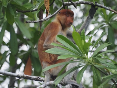
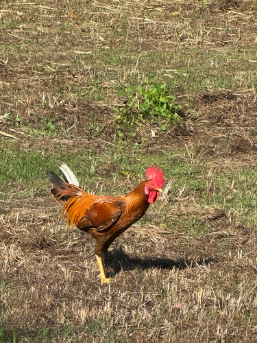
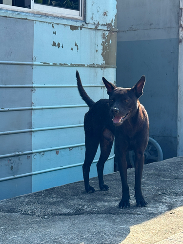
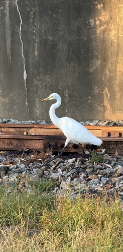
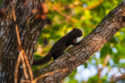
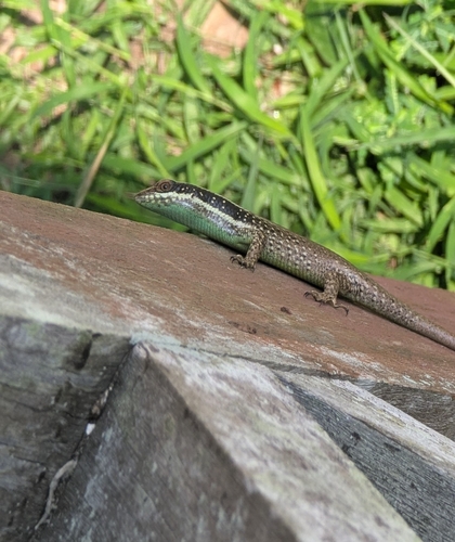
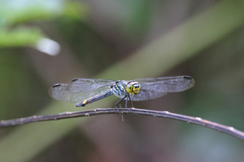
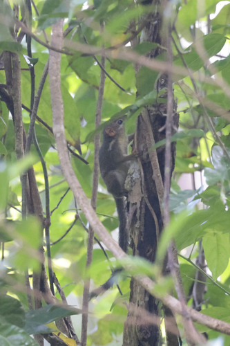
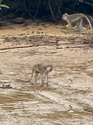
Research-grade observations from iNaturalist (within ~15 mi).
Events
Gallery
Sources
- • Wikipedia
- • Wikidata
- • iNaturalist
- • Open-Meteo / sunrise-sunset.org
- • Wikipedia Pageviews API