Browse / Malaysia / Sarawak / Bintulu
Bintulu
Sarawakcity

Bintulu
Total population
240,172
Founded
1862
Demographic figures from Department of Statistics Malaysia. Overview below cites Wikipedia and may reference a different year.
City facts
Sister cities
Facts from Wikidata (CC0).
Overview
Bintulu is a coastal town on the island of Borneo in the central region of Sarawak, Malaysia. Bintulu is located 610 kilometres northeast of Kuching, 216 kilometres northeast of Sibu, and 200 kilometres southwest of Miri. With a population of 114,058 as of 2010, Bintulu is the capital of the Bintulu District, Bintulu Division of Sarawak, Malaysia.
Read more on WikipediaHistory & geography
History
James Brooke was appointed the White Rajah of Sarawak (now known as Kuching) by the Bruneian Empire in 1841. In 1861, the Sultanate of Brunei ceded the Bintulu region to Brooke. Bintulu was a small settlement at that time. A wooden fort named Fort Keppel was built in the village, named after Sir Henry Keppel, who was a close friend of the Rajah James and Charles Brooke. Sir Henry Keppel was responsible for crushing the Dayak piracy in the Saribas between 1840 and 1850. Meanwhile, Charles Brooke was a nephew of James Brooke and would later become the latter's successor as the second Rajah of Sarawak. Odoardo Beccari, an Italian botanist, visited Bintulu in 1867. On 4 August, he started his journey on a gunboat named "Heartsease", which was to send $6,000 to Brunei for concessions being made to James Brooke in the Mukah and Bintulu regions. He went to Labuan before coming back to Bintulu. He dropped off at Kemena River on 13 August 1867. His observations of the village were recorded as follows: {{blockquote|The fort of Bintulu which was built entirely of wood, was in somewhat ruinous condition. It stood nearly on the sea-shore, and just behind it, at a distance of few paces, the primeval forests commenced...Some chinamen had settled at the vicinity of the fort and had built a small bazaar; but the village is chiefly formed by the houses of the Melanau beyond the Chinese kampong (village). These Melanaus used to live further up the river, but since the construction of the fort, and the installation of an officer of the Rajah near the mouth of the river, they came to settle near the seaa thing they would never have dared to do in former days for fear of the attacks of the Lanun pirates and Dayak pirates. During World War II, Rajah Charles Vyner Brooke ordered the…
Geography
Bintulu is located northeast of Kuching northeast of Sibu, and southwest of Miri. Bintulu is located near the mouth of the Kemena River, in the coastal region of central Sarawak. There are two monsoon seasons in the Bintulu: the northeast monsoon (November to March) and the southwest monsoon (May to September). The calm period between these two monsoons is known as the transitional period. In the coastal region, maximum rainfall occurs in the month of January, while minimal rainfall occurs from the period June to August. Rainfall is more evenly distributed in the inland areas. The annual rainfall of the Bintulu region is about annually. The mean daily hours of sunshine at Bintulu is about 5.0 to 5.5 hours. Bintulu receives on average 14 to 15 mJ/m2 of radiation throughout the year. Bintulu's relative humidity is 85%.
Excerpted from the corresponding Wikipedia article (CC BY-SA).
Geography
Coordinates & boundaries from the US Census TIGER/Line shapefiles.
Climate
Air quality
Walkability
Amenities nearby
Wildlife & biodiversity
Most-observed species
- Black HornbillAnthracoceros malayanus (Raffles, 1822) · Aves37
- Crimson SunbirdAethopyga siparaja (Raffles, 1822) · Aves26
- Olive-winged BulbulPycnonotus plumosus Blyth, 1845 · Aves25
- White-bellied Sea-EagleHaliaeetus leucogaster (Gmelin, 1788) · Aves24
- Blue-throated Bee-eaterMerops viridis Linnaeus, 1758 · Aves23
- Brown BarbetCaloramphus fuliginosus (Temminck, 1830) · Aves21
- Black-thighed FalconetMicrohierax fringillarius (Drapiez, 1824) · Aves21
- Rufous-bellied EagleLophotriorchis kienerii (Sparre, 1835) · Aves19
Citizen-science & research observations from the Global Biodiversity Information Facility (GBIF).
Earthquake history
Most recent
- M 4.2 — 2005-04-1990 km SSW of Marudi, Malaysia
Events from the USGS Earthquake Catalog (global) (FDSN Event Web Service).
Photos
Sights & places nearby
Notable people from here
People born within ~10 km, from Wikidata (CC0). Click any name for their Wikipedia article.
Nearby places in Sarawak
- Kampung Sepurau85.7 mi away
- Long Buang116.9 mi away
- Long Tujang117.5 mi away
- Long Jekitan131.7 mi away
- Long Makabar132.1 mi away
- Long Jeeh132.8 mi away
- Lio Mato150 mi away
- Luban Ili159.4 mi away · pop. 100
- Tr Nala Bebuling Baroh Spaoh160.7 mi away · pop. 100
- Bebuling Tapang160.8 mi away · pop. 100
- Nanga Jela164.6 mi away · pop. 100
- Kampung Pruan173.4 mi away · pop. 1,000
Geography & sun
Elevation, sunrise/sunset and daylight from Open-Meteo. Solar climatology from NASA POWER.
Nearby airports
Public attention
Pageview totals from the Wikimedia Pageviews API.
Books about Bintulu

Search results from Open Library.
Recent natural events nearby
Ground air-quality sensors
Recently spotted species
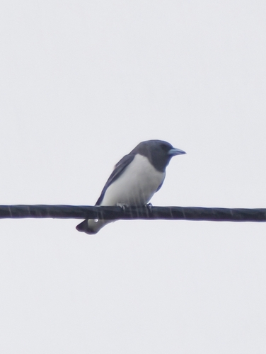
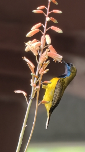
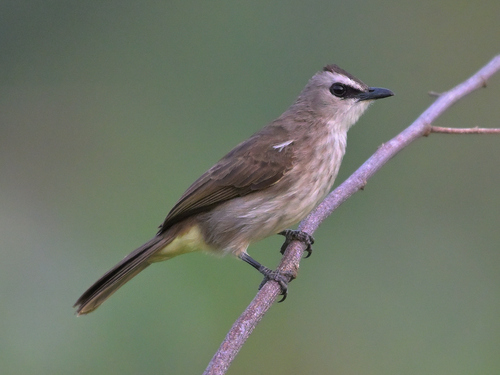
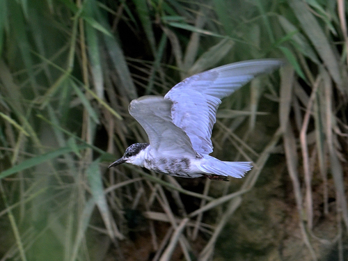
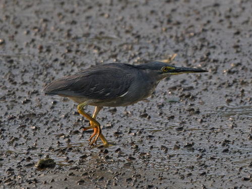
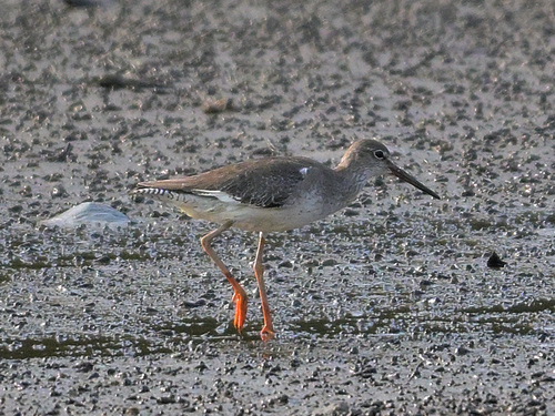
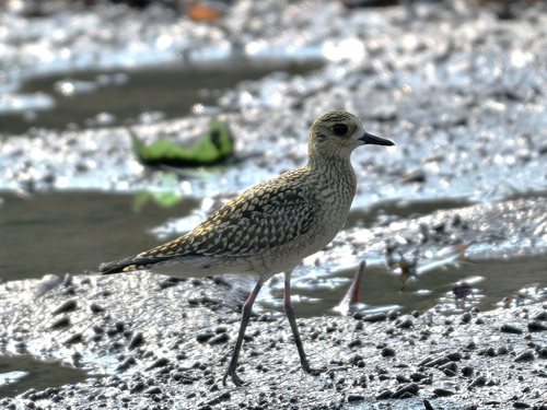
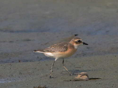
Research-grade observations from iNaturalist (within ~15 mi).
Events
Gallery
Sources
- • Wikipedia
- • Wikidata
- • USGS Earthquake Catalog (global feed)
- • GBIF (Global Biodiversity Information Facility)
- • iNaturalist
- • Open-Meteo / sunrise-sunset.org
- • Wikipedia Pageviews API
- • Open Library